Volovets, via Mount Plai, Mount Velykyi Verkh, Mount Stiy and Mount Hemba to Shypit Waterfall
About the route:
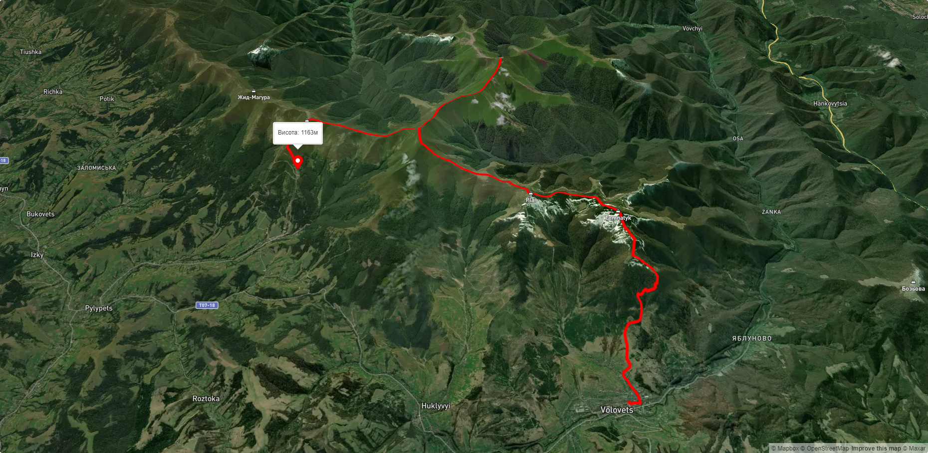
Route Volovets, via Mount Plai, Mount Velykyi Verkh, Mount Stiy and Mount Hemba to Shypit Waterfall. Warning! This route is unmarked (it may be partially marked)! Unmarked routes are not equipped with: information boards; signposts; auxiliary signs (water, campsite, etc.). The decision to take the route is entirely your own responsibility! Trail length 25087m. Lowest point - 488m., highest point - 1659m. Total elevation gain 1886m. Along the route you will see: Holy Ascension Church, Volovets, Mount Veliky Verkh, Mount Stii, Mount Gemba.
🎮 3D hike
Walk this route in 3D
Real terrain, satellite map, Carpathian forests
Play →
To add a comment you can: login or register.
What to see along the route:
48.7114913,23.1850055 | Altitude: 519м
Holy Ascension Church, Volovets
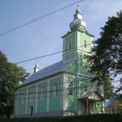 The Orthodox community in Volovets and Kanora was founded in 1925 by Father Lev Tyblevych, an emigrant from Russia (or possibly Ukraine, since he spoke Ukrainian), who became the first Orthodox priest there. The initiator of the Orthodox movement among local people was Andrii Betsa.
... More...
The Orthodox community in Volovets and Kanora was founded in 1925 by Father Lev Tyblevych, an emigrant from Russia (or possibly Ukraine, since he spoke Ukrainian), who became the first Orthodox priest there. The initiator of the Orthodox movement among local people was Andrii Betsa.
... More...
48.647509349436014,23.22952061168519 | Altitude: 1598м
Mount Veliky Verkh
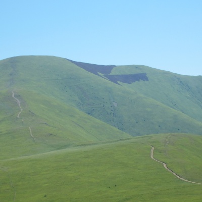 Mount Velykyi Verkh is a 1,598-meter peak of the Ukrainian Carpathians, located within the Borzhava Polonyna. It is located on the border of two districts of Zakarpattia region - Mizhhirya and Volovets, in the southeast direction from Volovets.
... More...
Mount Velykyi Verkh is a 1,598-meter peak of the Ukrainian Carpathians, located within the Borzhava Polonyna. It is located on the border of two districts of Zakarpattia region - Mizhhirya and Volovets, in the southeast direction from Volovets.
... More...
48.62107675481184,23.190639309805306 | Altitude: 1681м
Mount Stii
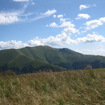 Stiy (also known as Stoy) is the highest peak of the Polonyna Borzhava mountain range on the Polonyna ridge (Polonyna Beskyd), located in the inner zone of the Ukrainian Carpathians. It is located within the Transcarpathian region. The height is 1681 meters.
... More...
Stiy (also known as Stoy) is the highest peak of the Polonyna Borzhava mountain range on the Polonyna ridge (Polonyna Beskyd), located in the inner zone of the Ukrainian Carpathians. It is located within the Transcarpathian region. The height is 1681 meters.
... More...
48.63252572524686,23.26816051475373 | Altitude: 1491м
Mount Gemba
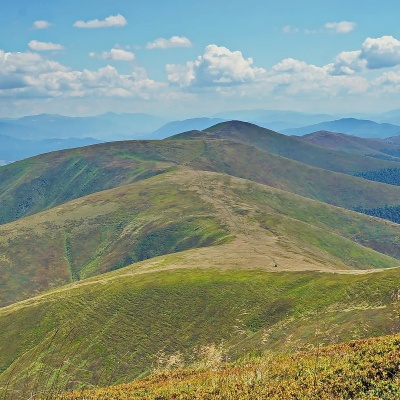 Hemba (also known as Hymba) is a very popular mountain in the Ukrainian Carpathians, located on the border of two districts of the Zakarpattia region - Mizhhiria and Svalyava. Hemba is one of the highest peaks of the Borzhava valley.
... More...
Hemba (also known as Hymba) is a very popular mountain in the Ukrainian Carpathians, located on the border of two districts of the Zakarpattia region - Mizhhiria and Svalyava. Hemba is one of the highest peaks of the Borzhava valley.
... More...


