Pylypets village – Mount Hemba – Pylypets village
About the route:
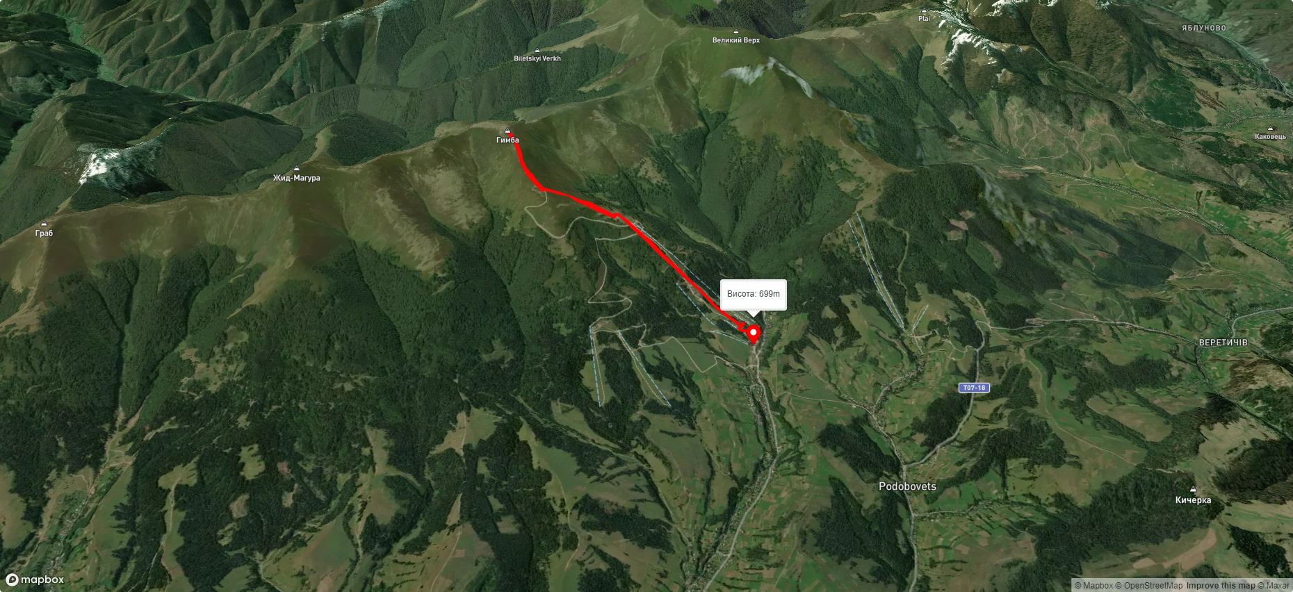
Route Pylypets village – Mount Hemba – Pylypets village. Warning! This route is unmarked (it may be partially marked)! Unmarked routes are not equipped with: information boards; signposts; auxiliary signs (water, campsite, etc.). The decision to take the route is entirely your own responsibility! Trail length 6922m. Lowest point - 736m., highest point - 1531m. Total elevation gain 750m. Along the route you will see: "Shypit Waterfall" Pylypets, Mount Gemba.
🎮 3D hike
Walk this route in 3D
Real terrain, satellite map, Carpathian forests
Play →
To add a comment you can: login or register.
What to see along the route:
48.65601526866259,23.26948932915036 | Altitude: 615м
"Shypit Waterfall" Pylypets
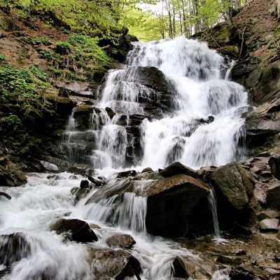 In a cozy corner of the Carpathian Mountains, among the evergreen mountain forests and steep, sharp cliffs, lies the most full-flowing and beautiful waterfall in Transcarpathia- Shypit - the most full-flowing in the Ukrainian Carpathians. It is not surprising that it is one of the seven natural wonders of Ukraine, as it captivates at first sight and leaves unforgettable feelings and emotions for everyone who visits it.
... More...
In a cozy corner of the Carpathian Mountains, among the evergreen mountain forests and steep, sharp cliffs, lies the most full-flowing and beautiful waterfall in Transcarpathia- Shypit - the most full-flowing in the Ukrainian Carpathians. It is not surprising that it is one of the seven natural wonders of Ukraine, as it captivates at first sight and leaves unforgettable feelings and emotions for everyone who visits it.
... More...
48.63252572524686,23.26816051475373 | Altitude: 1491м
Mount Gemba
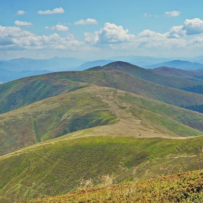 Hemba (also known as Hymba) is a very popular mountain in the Ukrainian Carpathians, located on the border of two districts of the Zakarpattia region - Mizhhiria and Svalyava. Hemba is one of the highest peaks of the Borzhava valley.
... More...
Hemba (also known as Hymba) is a very popular mountain in the Ukrainian Carpathians, located on the border of two districts of the Zakarpattia region - Mizhhiria and Svalyava. Hemba is one of the highest peaks of the Borzhava valley.
... More...


