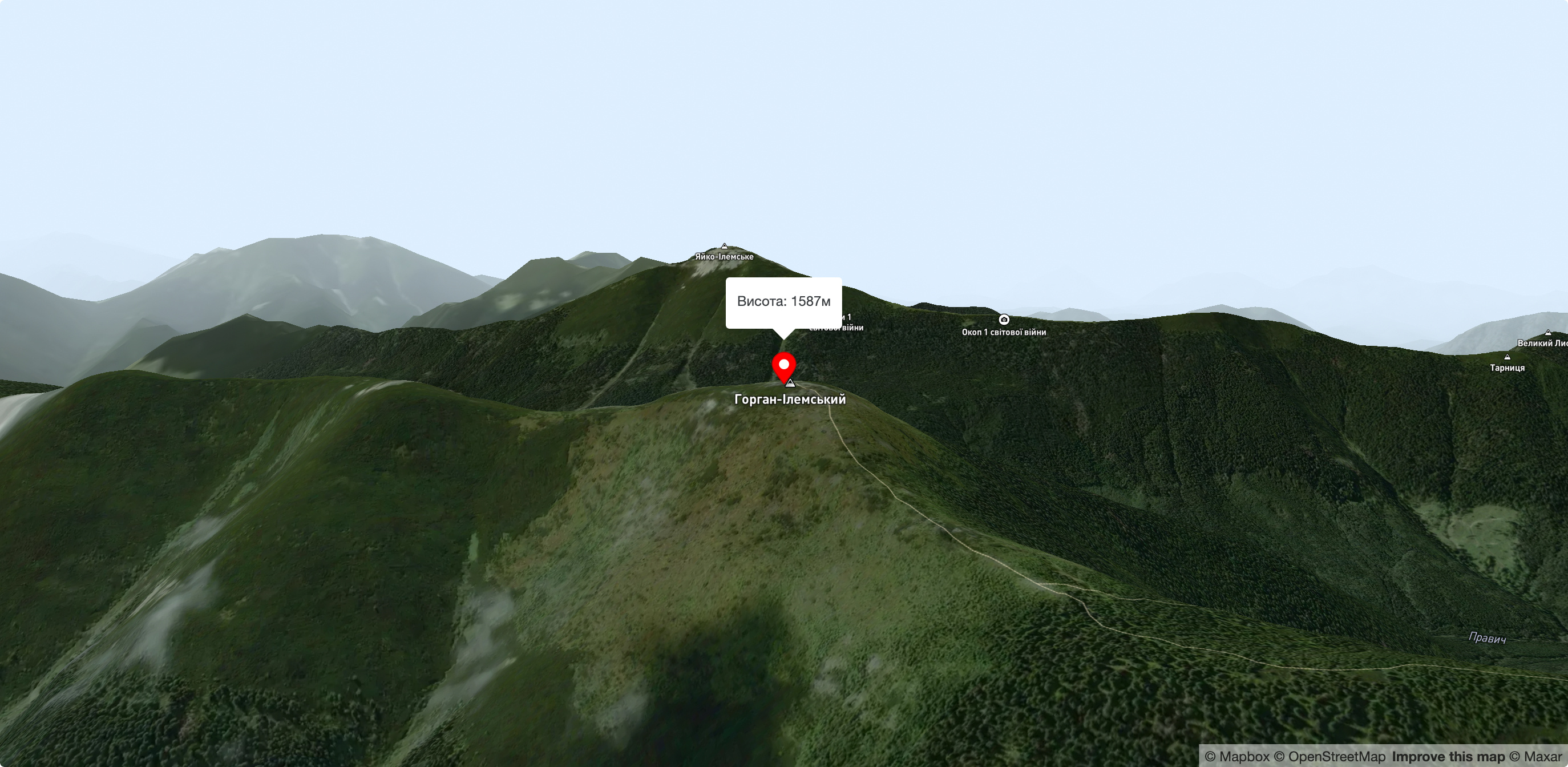
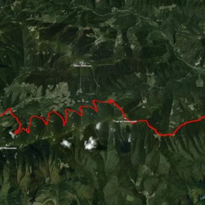
Mount Gorgan-Ilemsky
Mount Gorgan-Ilemsky is the peak of the Ukrainian Carpathians, located on the Arshytsia ridge of the Gorgan mountain range. It is located on the border of two districts of Ivano-Frankivsk region: Rozhnyativ and Dolyna.
The height of Gorgan-Ilemsky Mountain is 1587 meters.
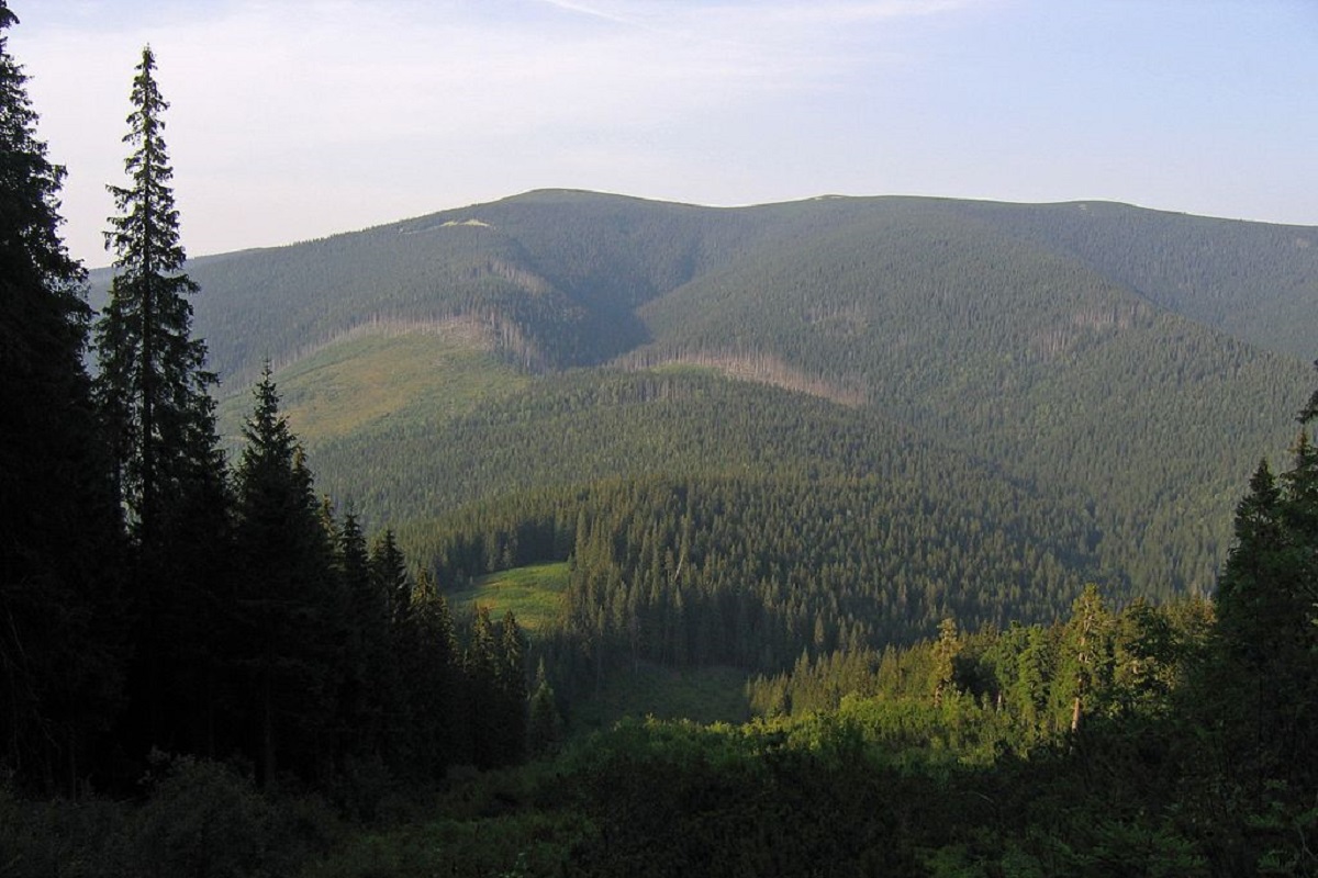
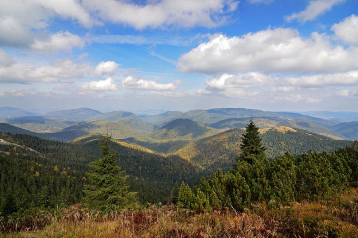
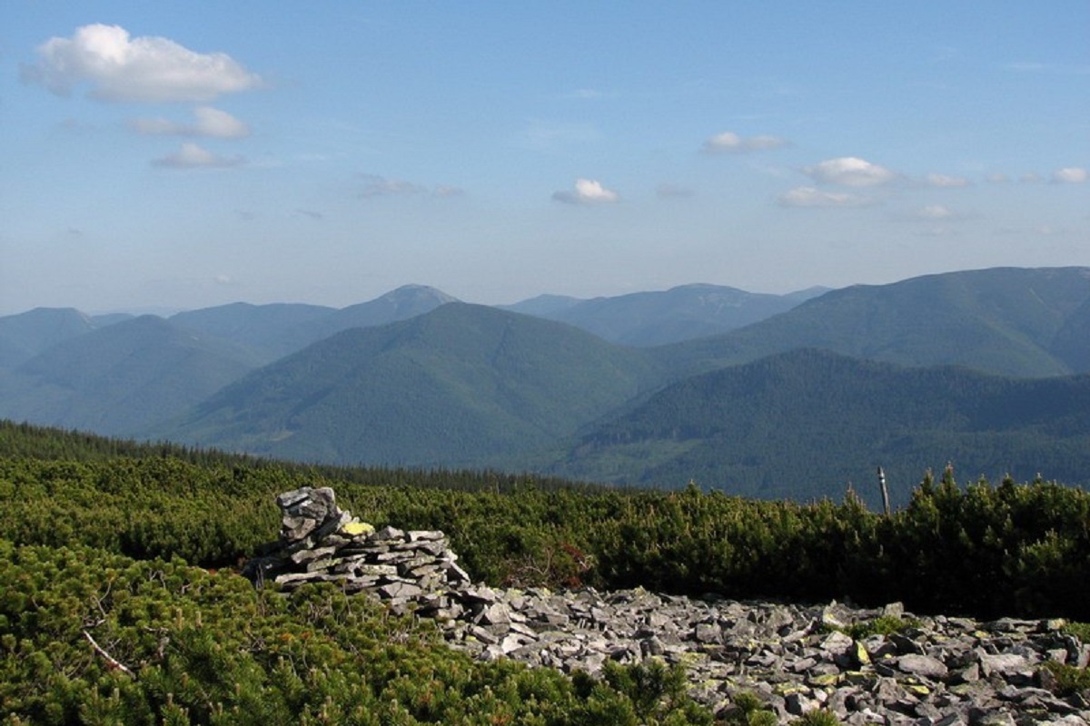
The peak is unforested, has an asymmetrical, conical shape with rather steep slopes covered with ancient spruce and pine forests up to a height of 1300-1400 meters. As with other Gorgan peaks, Gorgan-Ilemsky is characterized by characteristic stone placers, scree and so-called "stone rivers".
On the slopes of Gorgan-Ilemsky Mountain, at an altitude of 1200-1500 meters, there is the Arshytsia reserve tract, created to preserve alpine spruce and pine virgin forests several hundred years old.
On the northwestern slopes of the peak, the Ilma River has its source.
To the northwest of Mount Gorgan-Ilemsky is Mount Velykyi Pustoshak, to the northeast - Mt. Sykhlos mountain, to the south - Yayko-Ilemske mountain, to the west - the valley of the Svicha river.
The nearest settlement is the village of Myslivka (Dolyna district , Ivano-Frankivsk region).
Accommodation around Mount Gorgan-Ilemsky:


Nearby hiking trails near Mount Gorgan-Ilemsky:
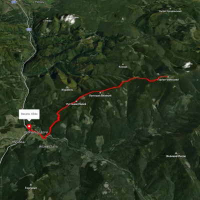
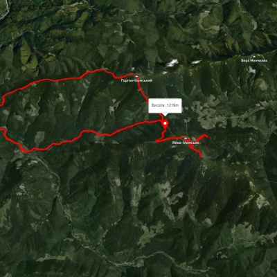
Які маршрути проходять повз Mount Gorgan-Ilemsky?
Пропонуємо пройти такі туристичні (пішохідні) маршрути через/біля Mount Gorgan-Ilemsky: с. Мислівка, через г. Вел. Пустушак, пол. Німецька, г. Горган Ілемcький до с. Осмолода, На Горган Ілемський, с. Мислівка, через г. Яйко Ілемське, г. Горган Ілемський до с. Мислівка, с. Мислівка – г. Горган-Ілемський – с. Мислівка, с. Мислівка, через г. Молода, г. Попадя, с. Свобода, оз. Синевир, г. Озерна до смт. Міжгір'я, с. Мислівка, через хр. Аршиця, г. Молода, г. Яйко-Ілемське до с. Мислівка