Mount Gregit
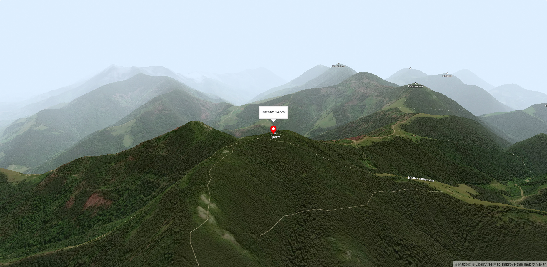
Mount Gregit is a 1472-meter peak in the Ukrainian Carpathians, which lies within the Pokutsko-Bukovyna Carpathians. It is located in the Kosiv district of Ivano-Frankivsk region, southwest of the village of Shepit.
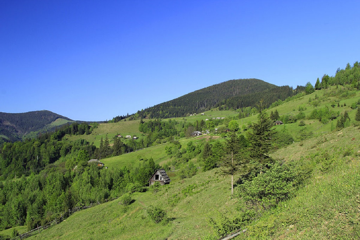
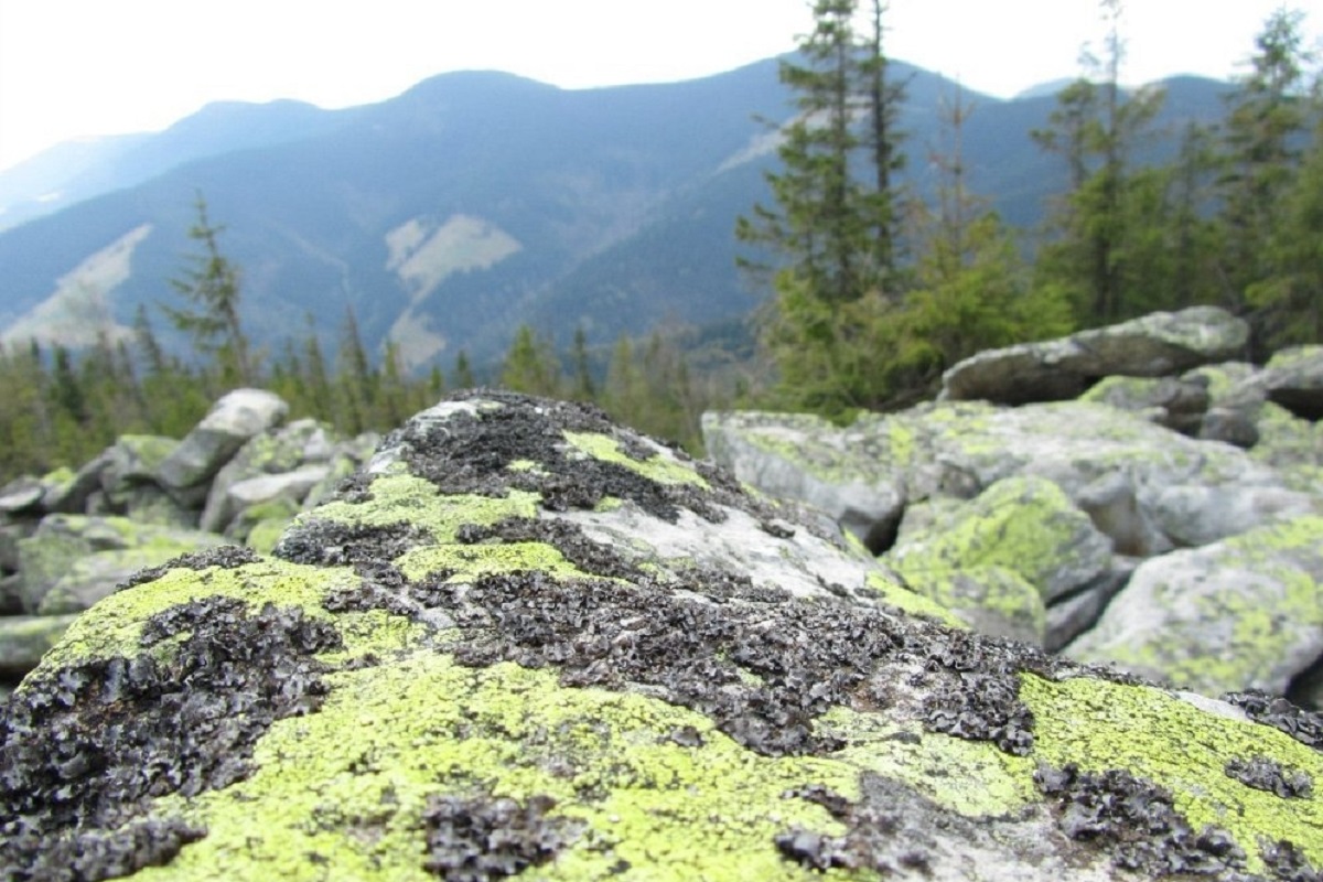
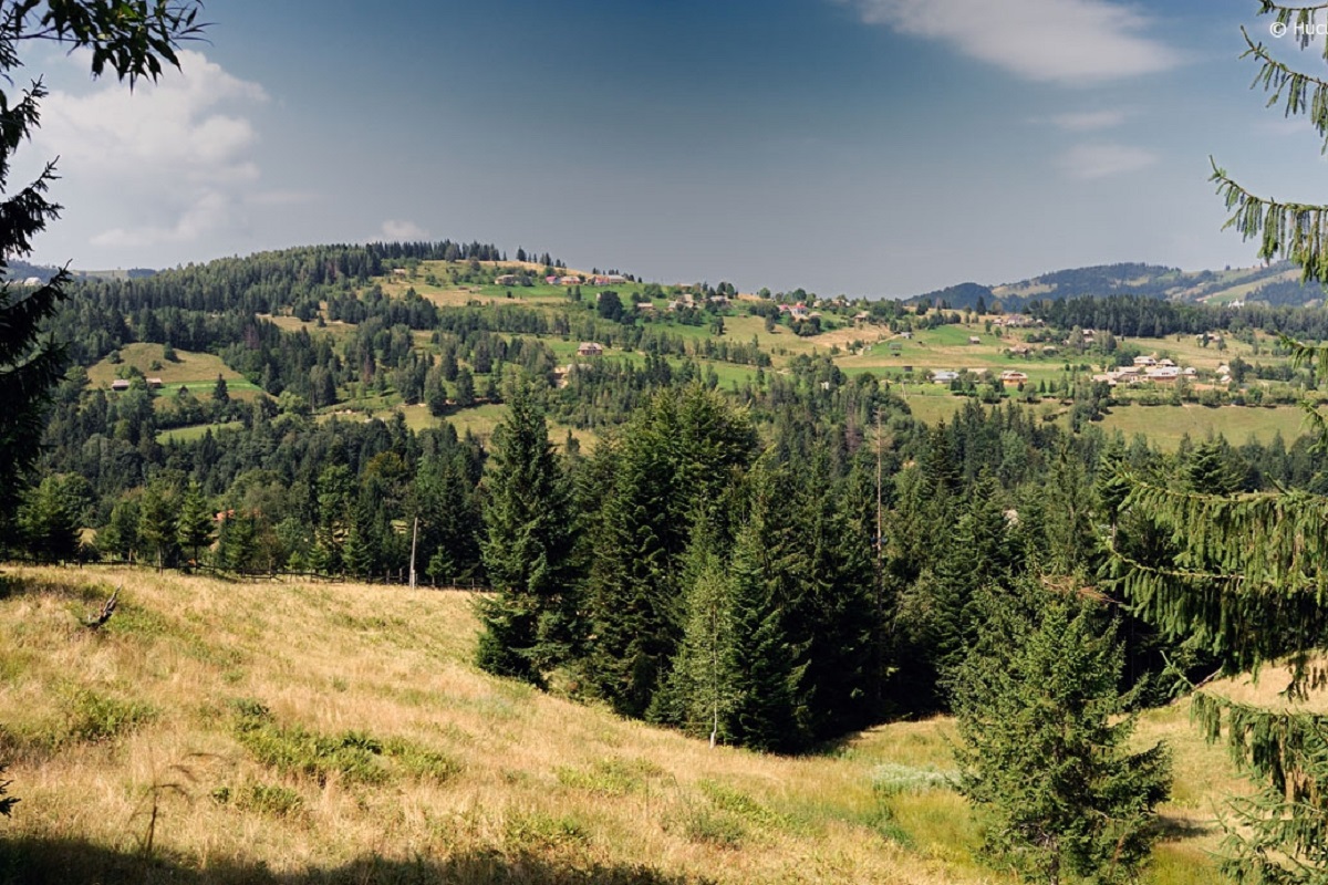
The top of Mt. Gregit is unforested, the slopes are steep (especially in the eastern direction), rocky, and covered with forest. To the southwest is the highest peak of the Pokutsko-Bukovyna Carpathians - Mount Rotylo (1483 m), to the south - Mount Gaborianska (1444 m).
Mount Gregit is located within the Hutsulshchyna National Nature Park.
The nearest settlement is the village of Shepit, Kosiv district , Ivano-Frankivsk region.
Accommodation around Mount Gregit:


Nearby hiking trails near Mount Gregit:
Які маршрути проходять повз Mount Gregit?
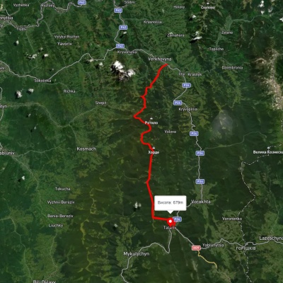
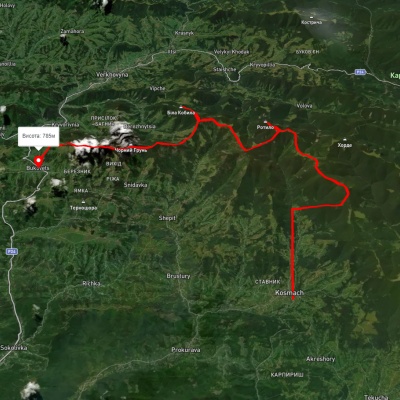
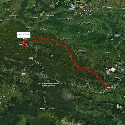
Пропонуємо пройти такі туристичні (пішохідні) маршрути через/біля Mount Gregit: смт. Верховина, через г. Біла Кобила, г. Хорде до с. Татарів, с. Космач, через г. Ротило, г. Грегіт, г. Біла Кобила до с.Буковець, смт. Верховина, через г. Біла Кобила, г. Маковиця, Скелі Довбуша до м. Яремче, смт. Верховина, через г. Біла Кобила, г. Хорде, г. Ліснів до с. Микуличин, с. Космач – г. Ротило, с. Микуличин, через г. Хорде, г. Ротило до с. Космач