с. Тур'я Поляна – вдсп. Воєводин – с. Тур'я Поляна
About the route:
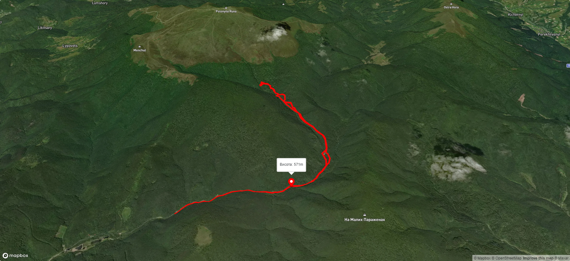
Route с. Тур'я Поляна – вдсп. Воєводин – с. Тур'я Поляна. Warning! This route is unmarked (it may be partially marked)! Unmarked routes are not equipped with: information boards; signposts; auxiliary signs (water, campsite, etc.). The decision to take the route is entirely your own responsibility! Trail length 14322m. Lowest point - 489m., highest point - 1012m. Total elevation gain 763m. Along the route you will see: Водоспад Воєводин.
🎮 3D hike
Walk this route in 3D
Real terrain, satellite map, Carpathian forests
Play →
To add a comment you can: login or register.
What to see along the route:
48.78572385446831,22.84622314273838 | Altitude: 391м
Водоспад Воєводин
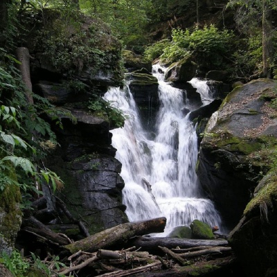 Водоспад Воєводин розташований на однойменному потоці неподалік від села Жденієво на Закарпатті у межах «Соколових Скель», орнітологічного заказника загальнодержавного значення, і вважається одним із найкрасивіших гідрологічних пам’яток природи усієї України, а також прекрасним місцем для фотозйомки та пікніку.
... More...
Водоспад Воєводин розташований на однойменному потоці неподалік від села Жденієво на Закарпатті у межах «Соколових Скель», орнітологічного заказника загальнодержавного значення, і вважається одним із найкрасивіших гідрологічних пам’яток природи усієї України, а також прекрасним місцем для фотозйомки та пікніку.
... More...

