Mount Fool
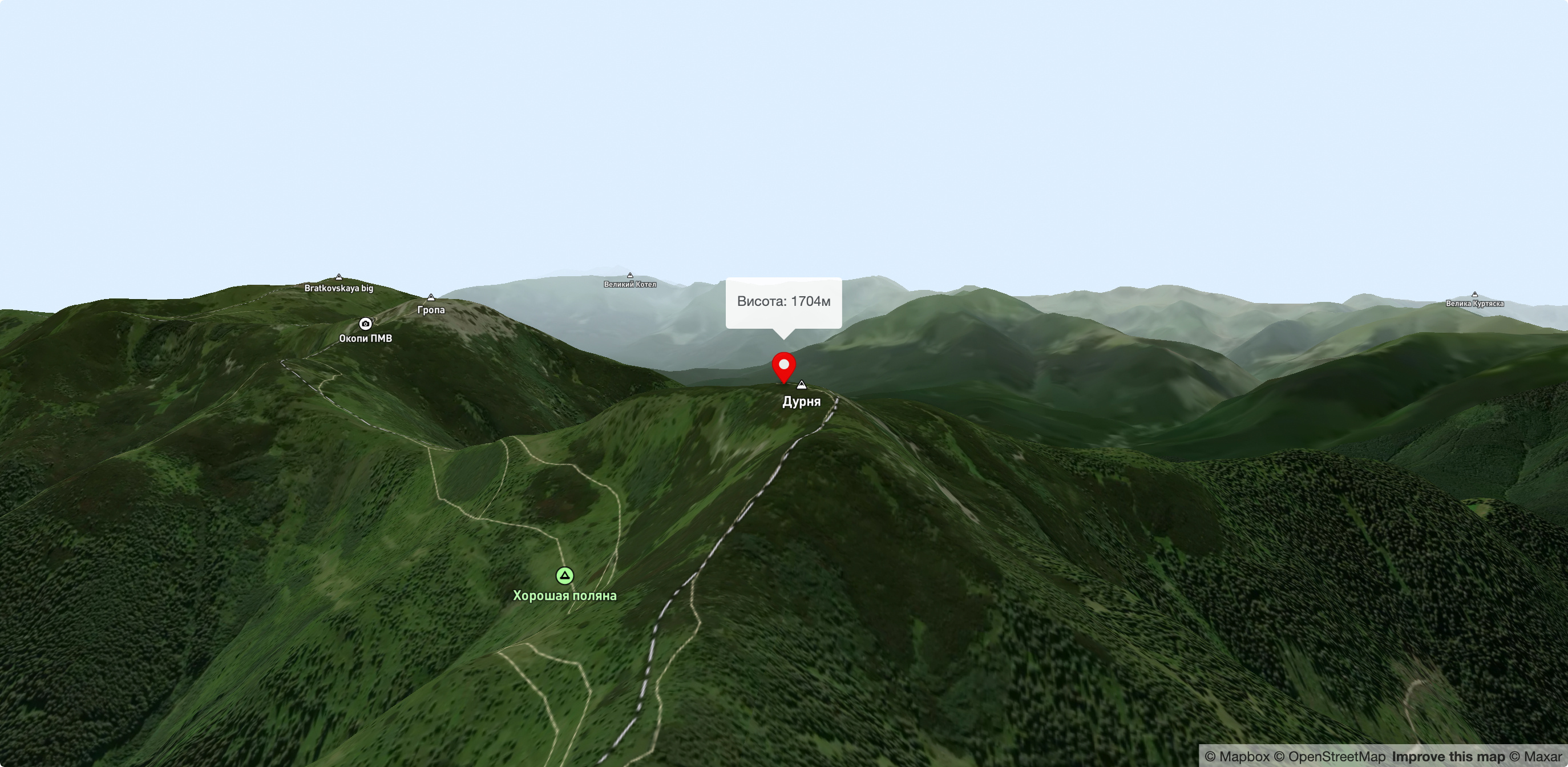
Mount Durnia is a 1704-meter (according to other sources, 1709-meter) peak of the Ukrainian Carpathians of the Horhan mountain range, located on the Bratkivsky ridge. It is located on the border of two regions - Ivano-Frankivsk and Zakarpattia.
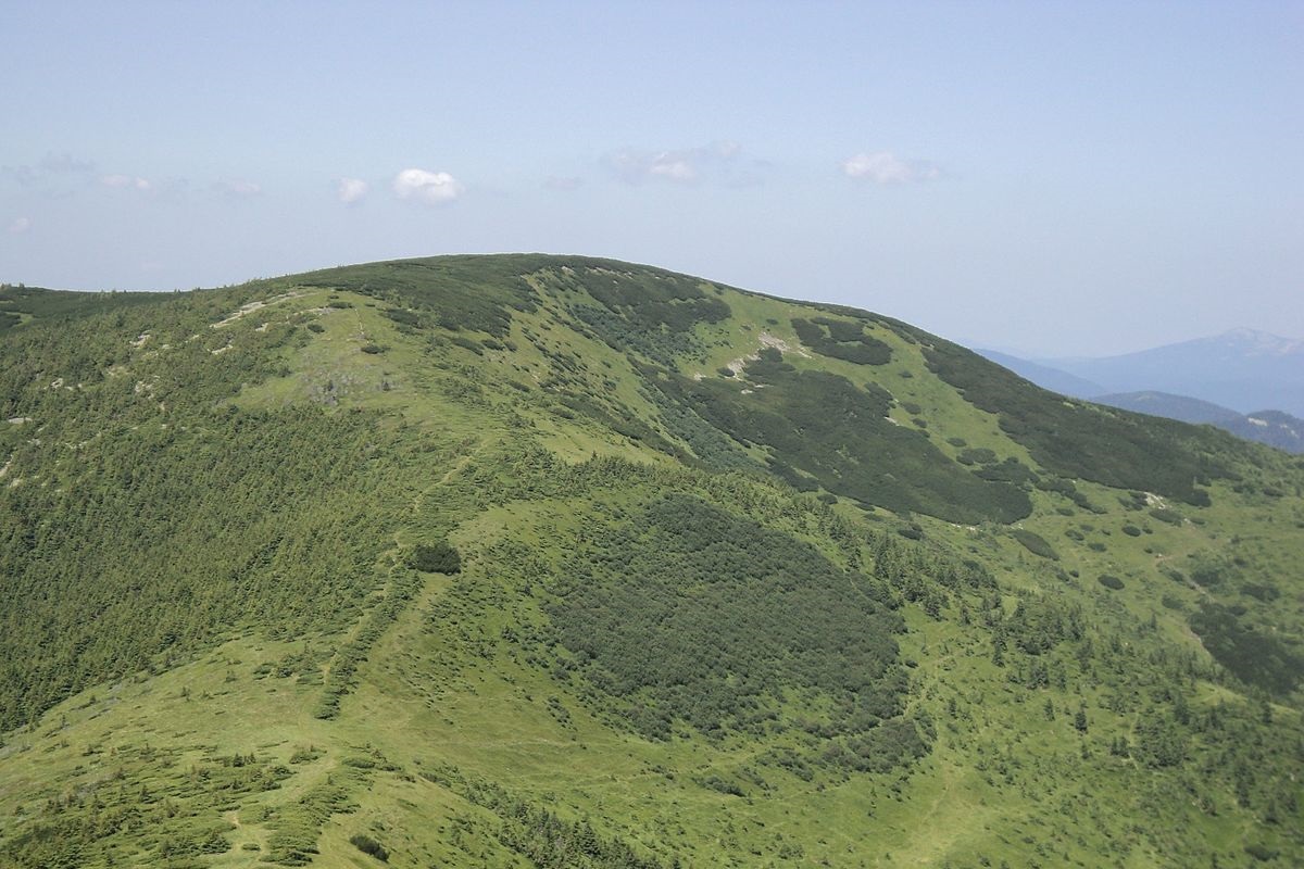
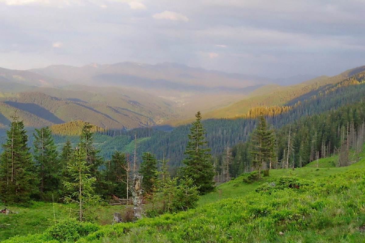
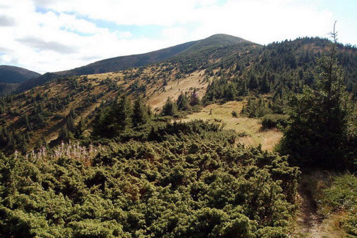
The Durnia peak and its summit slopes are covered with alpine pine (fir) thickets and yellow-green stone placers and scree typical of the Gorgan Mountains. Below the 1400-1500 meter mark, the slopes of the mountain are covered with forests.
To the south of Mount Durnia are Mount Gropa and Mount Bratkivska.
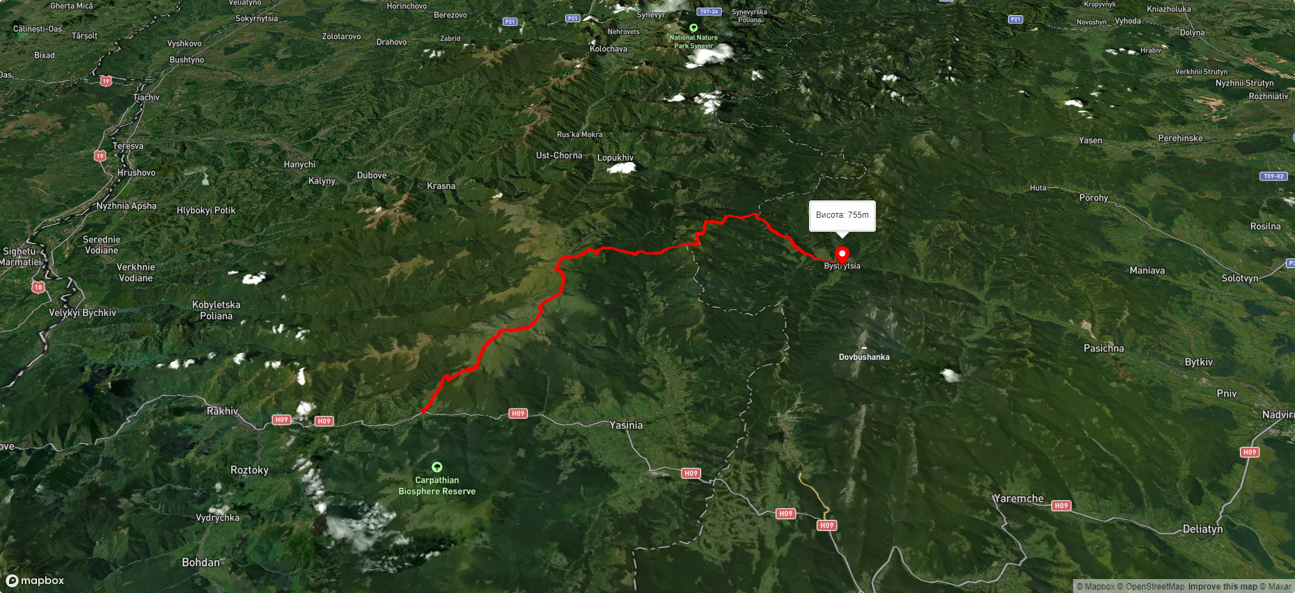
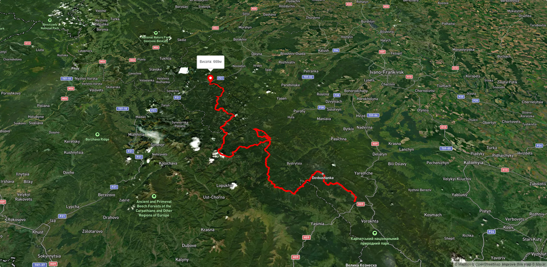
The nearest settlements are the village of Bystrytsia , Nadvirna district, Ivano-Frankivsk region, and the village of Lopukhiv , Tyachiv district, Zakarpattia region.
Accommodation around Mount Fool:


Nearby hiking trails near Mount Fool:

Які маршрути проходять повз Mount Fool?
Пропонуємо пройти такі туристичні (пішохідні) маршрути через/біля Mount Fool: с. Кваси, через г. Близниця, г. Татарука, г. Братківська до с. Бистриця, с. Стара Гута, через г. Висока, г. Сивуля, г. Дурня, г. Братківська, г. Татарука, г. Близниця до с. Білин, с. Татарів, через г. Синяк, г. Довбушанка, г. Чорна Клева, г. Братківська, г. Сивуля, г. Кінець Горгану, г. Попадя, г. Грофа до с. Мислівка, с. Стара Гута, через г. Сивуля, пер. Легіонів, г. Братківська, г. Чорна Клева, г. Плоска, г. Довга до с. Поляниця, с. Бистриця, через г. Дурня, г. Братківська, г. Татарука, г. Близниця до с. Кваси, с. Осмолода, через г. Ігровець, г. Сивуля, с. Бистриця, г. Братківська, г. Руська, г. Догяска до Драгобрату