Bila Tysa River
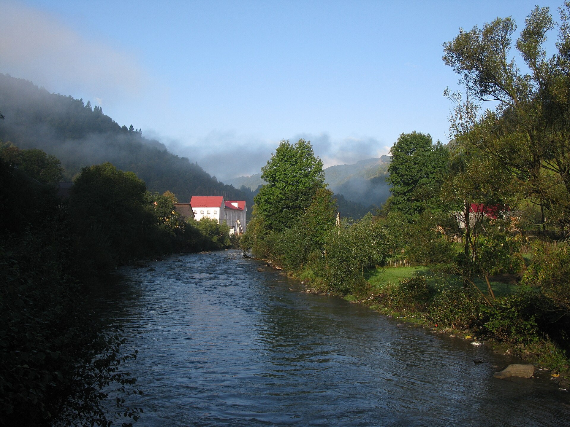
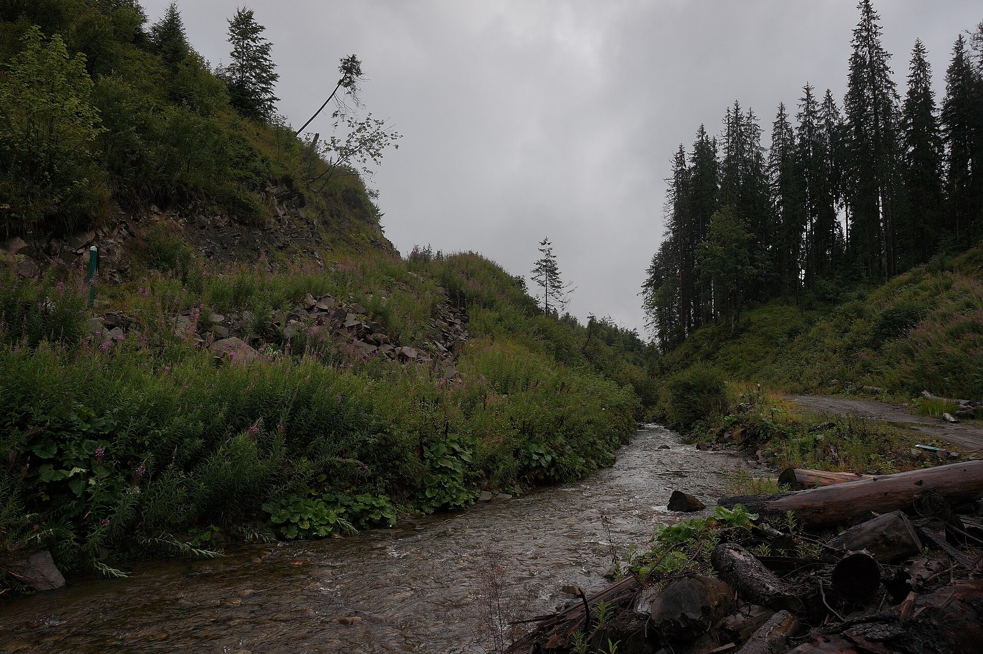
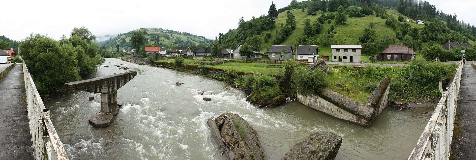
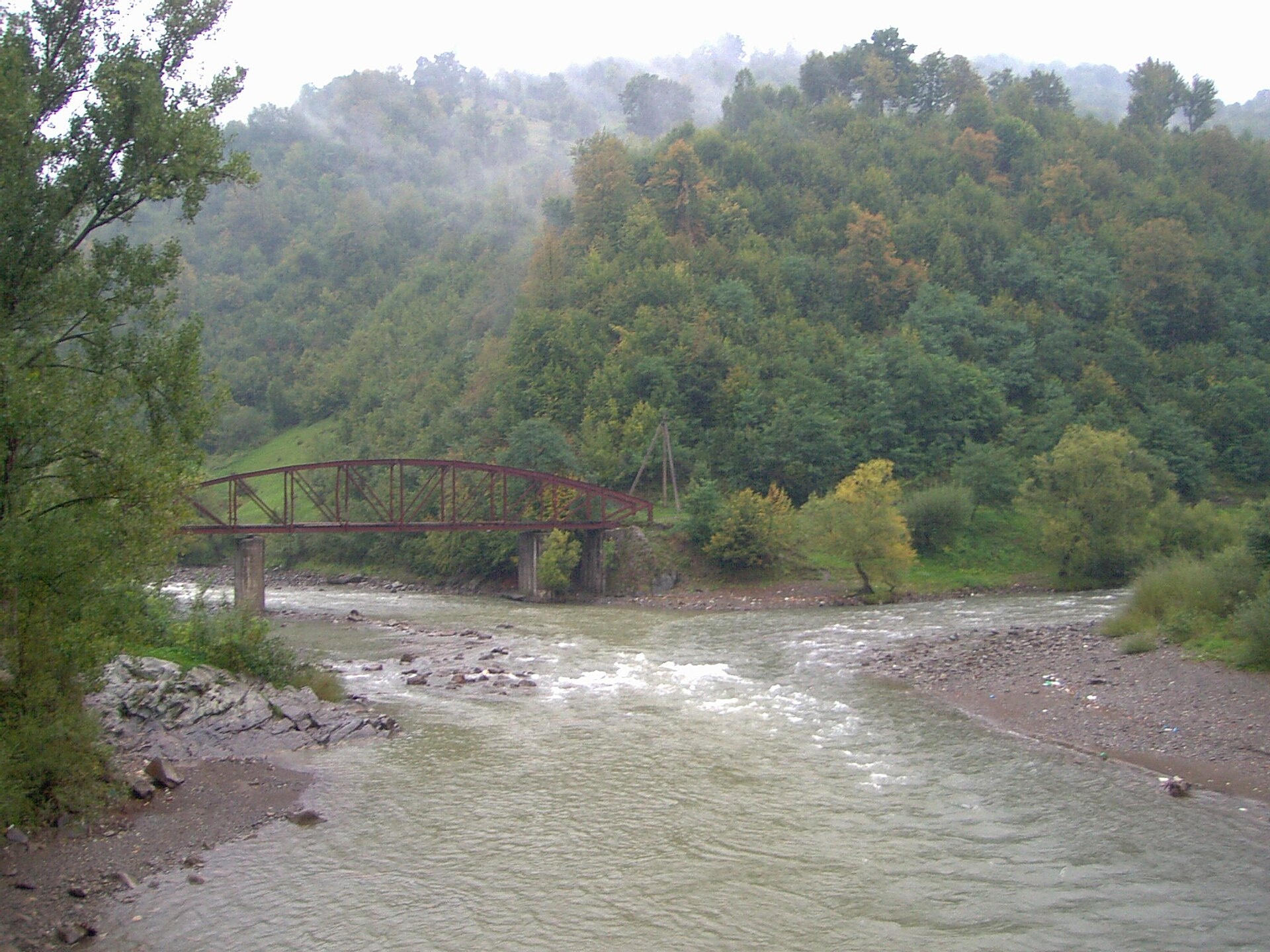
The Bila Tysa rises on the south-western slopes of Chornohora, where the Stohovets and Balzatul streams meet, and runs down the valley through the villages of Hoverla, Luhy, Breboia, Bohdan, Vydrychka and Roztoky to Rakhiv. There it joins the Chorna Tysa, and together they form the Tysa. It is a short but full mountain river with clean cold water: many of its tributaries start in the Chornohora massif of the Carpathian Biosphere Reserve.
- Length: 26 km
- Basin area: 489 km²
- Source: Chornohora, confluence of the Stohovets and Balzatul streams
- Mouth: confluence with the Chorna Tysa near Rakhiv
The villages of Luhy and Bohdan are starting points for Chornohora from the Zakarpattia side. Trails lead from here to Hoverla (2,061 m) and the main ridge, whose slopes belong to the reserve’s Chornohora massif (16,375 ha, protected since 1968).
The Bila Tysa holds brown trout: the river and the streams in Bohdan have been stocked with trout several times, and also with Red Book Danube salmon. The reserve does not allow recreational fishing in its wild waters, so anglers fish only below its boundaries. The spawning ban runs from 25 March to 15 May, and trout are closed from 10 October to 1 March. Details are in the fishing section. All the region’s waters are on the Fishing in the Carpathians page.
Photos: Wisetus, CC BY-SA 4.0; ЯдвигаВереск, CC BY-SA 4.0; Andy Shustykevych, CC BY-SA 3.0; Michael Fiegle, CC BY-SA 3.0 — Wikimedia Commons.
Location on the map
Fishing on the Bila Tysa
The Bila Tysa runs off Chornohora — a mountain trout river with cold clean water. Its headwaters and tributaries lie in the Carpathian Biosphere Reserve, whose wild waters are closed to angling.
Can I fish now?
- Brown trout — closed until 1 MarchTrout spawning: closed from 10 October to 1 March in the Zakarpattia, Ivano-Frankivsk, Lviv and Chernivtsi regions.Each illegally caught fish costs UAH 7,225 in damages on top of the fine.
- Other species — allowed within the daily limitKeep to the minimum sizes and the daily limit; release protected species.
Limits and rules
The Bila Tysa had no stretches on the 2026 list of places open during spawning, so it is not fished from 25 March to 15 May. In autumn the Bila Tysa basin is a priority trout protection zone.
Carpathian Biosphere Reserve
The Bila Tysa and its many tributaries rise in the Chornohora massif of the Carpathian Biosphere Reserve (16,375 ha). This is a strictly protected area: the wild rivers and streams within it are not fished. The only place where the reserve offers recreational fishing is its trout farm, as a paid service. Fish the Bila Tysa below the massif and check the boundaries with the reserve administration (Rakhiv) before you go.
What to catch
 Brown troutthe river below the reserve boundary, streams in Bohdan · closed from 10 October to 1 Marchclosed until 1 March
There is no scientific fish list for the Bila Tysa. In 2026 surveys ichthyologists found trout, Carpathian barbel (Red Book), spirlin, minnow and Siberian bullhead here. Danube salmon were released into the river in 2021–2023.
 Danube salmon (huchen)
 Barbel
Red Book of Ukraine species: if one bites, unhook it carefully and release it. Taking one means a fine and compensation for damages.
Stocking 2023
7,000 young fish released into the river under the state stocking programme
Bite forecast near Bohdan
- TodaygoodSteady pressure, light wind, partly cloudy1023 hPa · wind up to 14 km/h · 2…8 °C
- TomorrowfairHigh pressure, light wind, cold1027 hPa · wind up to 10 km/h · -2…8 °C
- Thursday, 15 OctobergoodSteady pressure, light wind, partly cloudy1025 hPa · wind up to 13 km/h · 2…7 °C
Brown trout closed. Based on pressure, wind, temperature and cloud — an estimate, not a guarantee.
Fishing spots 26
Places where you can drive up to the water: fish markers on the page map and the list below. Look at the satellite view before you go — the bank may be steep or overgrown.
Closed right now: brown trout — until 1 March.
- Mouth of the Balzatul tributary on the Bila TysaThe road comes almost to the water. A bridge is right here. Nearest village (straight line): Luhy, 7.1 km.
- Local-road access on the Bila TysaAbout 60 m to the water from a local road. Nearest village (straight line): Luhy, 6.4 km.
- By the bridge, Tyshchora (3.9 km)About 50 m to the water from a dirt road. Bridge 110 m away. Nearest village (straight line): Tyshchora, 3.9 km.
- Local-road access, Tyshchora (3.0 km)The road comes almost to the water. Nearest village: Tyshchora, 3.0 km.
- Local-road access, Tyshchora (2.0 km)The road comes almost to the water. Nearest village: Tyshchora, 2.0 km.
- Access from a village street, TyshchoraThe road comes almost to the water. Nearest village: Tyshchora, 1.1 km.
- Access from a village street, TyshchoraAbout 40 m to the water from the street. Village: Tyshchora.
- Mouth of the Hoverla tributary, TyshchoraThe road comes almost to the water. A bridge is right here. Nearest village: Tyshchora, 770 m.
Show all spots (26)
- Access from a village street, LuhyThe road comes almost to the water. Village: Luhy.
- Dirt-road access, LuhyThe road comes almost to the water. Village: Luhy.
- By the road, LuhyThe road comes almost to the water. Nearest village: Luhy, 1.4 km.
- By the road, BreboiaThe road comes almost to the water. Nearest village: Breboia, 1.3 km.
- By the road, BreboiaThe road comes almost to the water. Village: Breboia.
- By the bridge, BreboiaAbout 50 m to the water from the road. Bridge 90 m away. Village: Breboia.
- By the road, BohdanThe road comes almost to the water. Nearest village: Bohdan, 1.1 km.
- Access road to the water, BohdanAbout 50 m to the water from an access road. Village: Bohdan.
- Dirt-road access, BohdanThe road comes almost to the water. Nearest village: Bohdan, 880 m.
- By the road, VydrychkaThe road comes almost to the water. Nearest village: Vydrychka, 1.3 km.
- By the road, VydrychkaAbout 90 m to the water from the road. Village: Vydrychka.
- By the bridge, VydrychkaThe road comes almost to the water. Bridge 100 m away. Village: Vydrychka.
- By the road, Vydrychka (1.5 km)The road comes almost to the water. Nearest village: Vydrychka, 1.5 km.
- By the road, RoztokyThe road comes almost to the water. Nearest village: Roztoky, 1.1 km.
- Access from a village street, RoztokyAbout 40 m to the water from the street. Village: Roztoky.
- By the road, RoztokyThe road comes almost to the water. Nearest village: Roztoky, 720 m.
- By the bridge, Roztoky (1.6 km)About 30 m to the water from the road. Bridge 70 m away. Nearest village: Roztoky, 1.6 km.
- Access from a village street, Novoselytsia (1.7 km)The road comes almost to the water. Nearest village: Novoselytsia, 1.7 km.
Spots are marked from open data (roads and ways to the water, OpenStreetMap); if a spot is inconvenient or inaccessible, let us know. © OpenStreetMap, ODbL.
Springs: Recreational Fishing Rules (Order No. 700 of the Ministry of Agrarian Policy); Zakarpattia fisheries patrol: 2026 spawning ban and permitted stretches; Zakarpattia fisheries patrol: trout ban from 10 October 2026; Zakarpattia fisheries patrol: autumn trout spawning; Carpathian Biosphere Reserve: paid services order (2025); Wikipedia (uk): Chornohora reserve massif; Zakarpattia fisheries patrol: fish stocking report 2023; Didenko O. et al. Fish occurrences in the Dnipro, Dnister and Tysa basins, 2024–2026 (GBIF, CC BY 4.0); Wikipedia (uk): Bila Tysa; Weather forecast: MET Norway (CC BY 4.0). Rules may change — check the current orders of the fisheries patrol.
Comments
Places to stay nearby
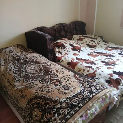 CottageHomestead "U Ivanky"13 km from Bila Tysa RiverKitchenWi‑FiNearby: Mt Sheshul 7.1 kmNyzhnyi Huk waterfall 9.2 km44 trails
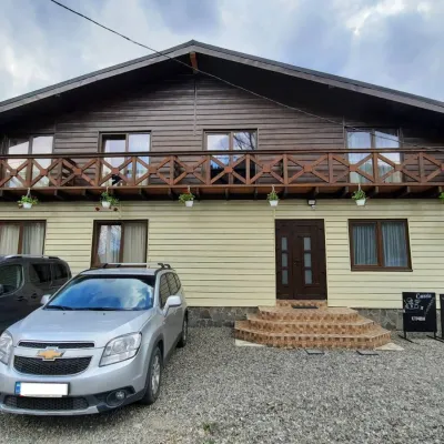 HotelCube (KUB)13 km from Bila Tysa RiverBBQParkingWi‑FiNearby: Mt Sheshul 7.2 kmMt Bliznytsia 8.6 km44 trails
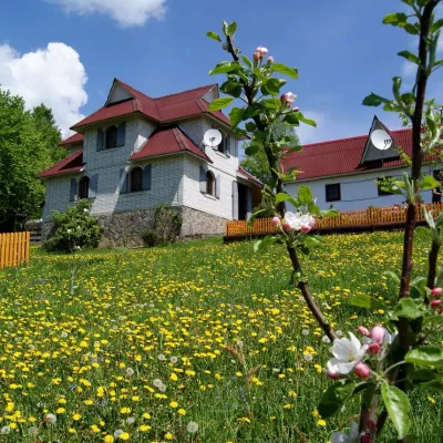 HotelHomestead "Rakhiv Play"9.9 km from Bila Tysa RiverSaunaBBQKitchenNearby: Church of St. John Nepomuk 1.2 kmNyzhnyi Huk waterfall 6.1 km12 trails
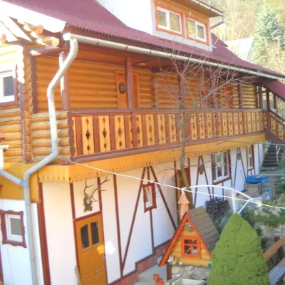 HotelHotel "Smerikova Khata" Rakhiv11 km from Bila Tysa RiverBBQKitchenParkingNearby: Church of St. John Nepomuk 300 mNyzhnyi Huk waterfall 7.0 km12 trails
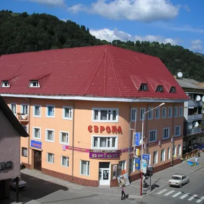 HotelHotel "Evropa" Rakhiv11 km from Bila Tysa RiverSaunaParkingWi‑FiNearby: Church of St. John Nepomuk 300 mNyzhnyi Huk waterfall 7.3 km12 trails
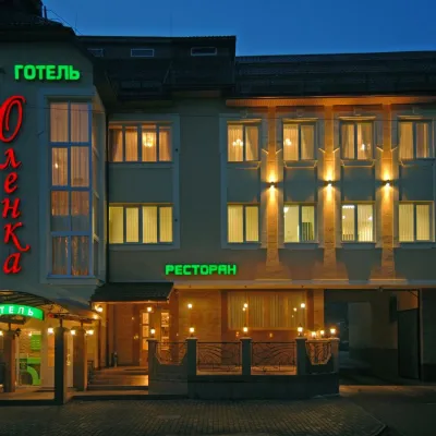 HotelHotel "Olenka" Rakhiv11 km from Bila Tysa RiverKitchenParkingWi‑FiNearby: Church of St. John Nepomuk 400 mNyzhnyi Huk waterfall 7.4 km12 trails
Trails nearby
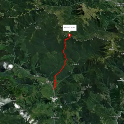 ModerateOne-dayMarkedBohdan village Dovha polonynaElevation profile525–1 554 m13.6 kmascent 1 382 m≈ 6 h walkingunder 1 km from Bila Tysa River
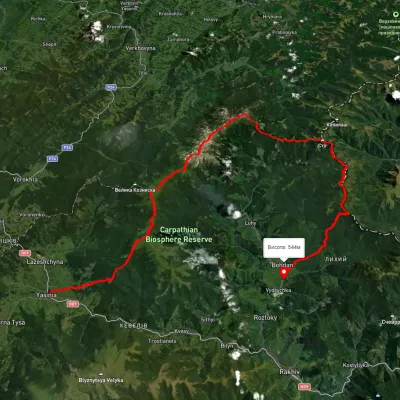 HardMulti-dayUnmarkedYasinia to Bohdan villagevia Mount Petros, Mount Hoverla +2Elevation profile528–2 042 m79.3 kmascent 3 765 munder 1 km from Bila Tysa River
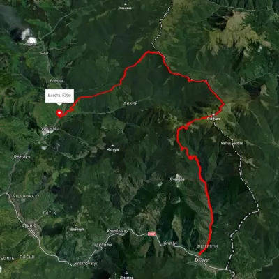 HardMulti-dayUnmarkedDilove village to Bohdan villagevia Mount Pip Ivan MarmaroskyiElevation profile354–1 903 m42.4 kmascent 2 158 munder 1 km from Bila Tysa River
Nearby attractions
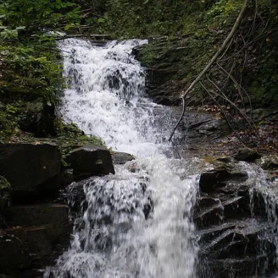 WaterfallNyzhnyi Huk waterfall4.7 km from Bila Tysa RiverNyzhnyi Huk waterfall is located in the Vyzhnytsia district of Chernivtsi region in western Ukraine. It is located in a picturesque Carpathian landscape and is part of...
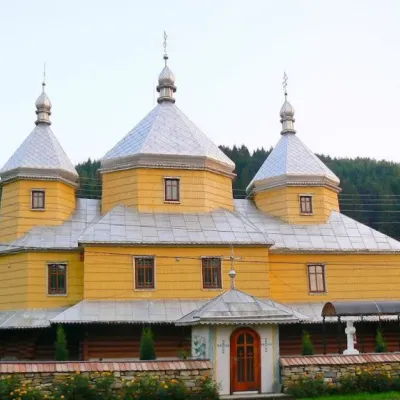 ChurchChurch of the Assumption of the Blessed Virgin Mary, Roztoky4.7 km from Bila Tysa RiverTheChurch of the Assumption of the Blessed Virgin Mary in the village of Roztoky, Chernivtsi Oblast, was built in 1846 from spruce beams in the style of the Bukovyna...
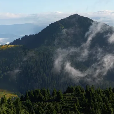 PeakMount Petros of Marmarosaltitude 1 781 m · Marmarosh range8.6 km from Bila Tysa RiverPetros Marmaroskyi (other names - Pietrosul, Petrosul) is a peak in the Ukrainian Carpathians, 1781 meters high.