Mount Apetska
Apetska is a peak in the Ukrainian Carpathians, on the border of the Tyachiv and Rakhiv districts of Zakarpattia region.
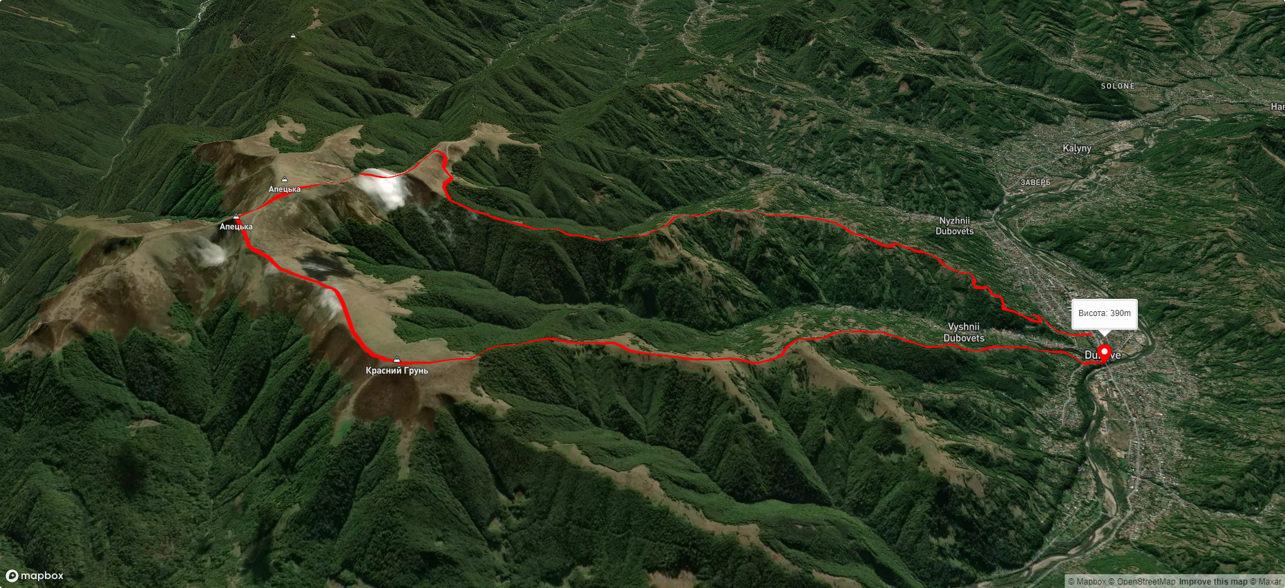
Apetska Mountain is located to the east of the village of Dubove (about 8 km to the top).
Some people refer to Apetska as part of the Svydovets mountain range. However, the mountain belongs to the so-called island mountains, i.e. mountains that are not connected to any ridge or mountain range.
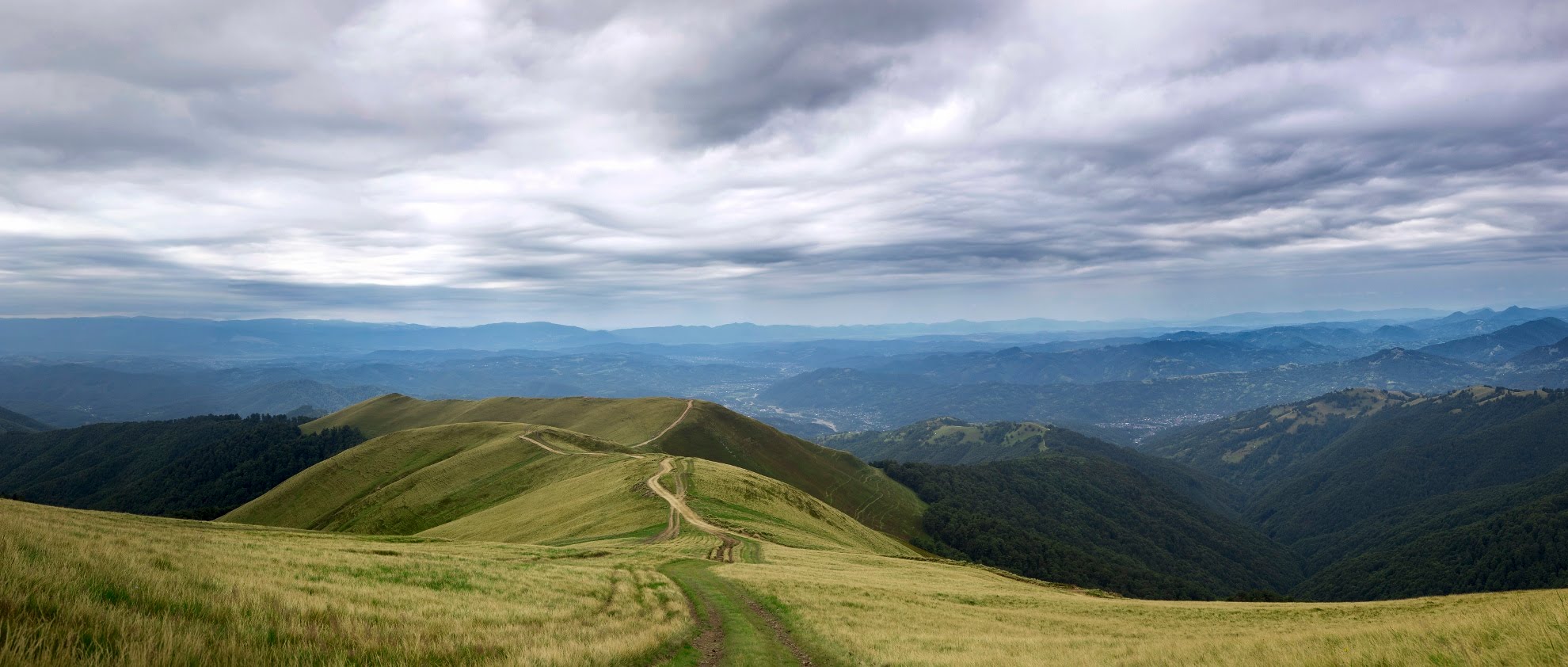
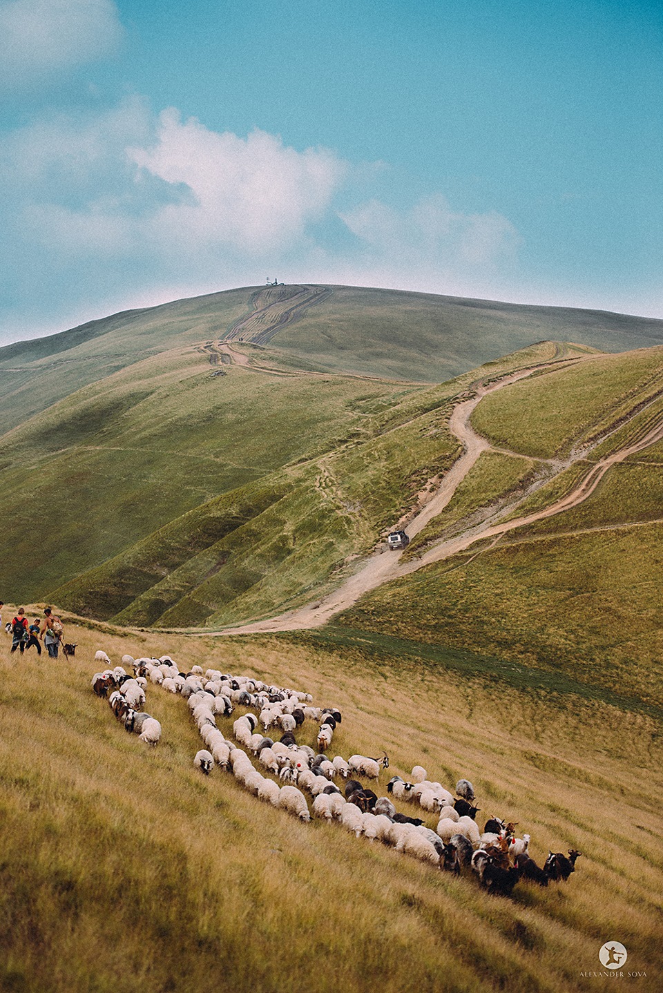
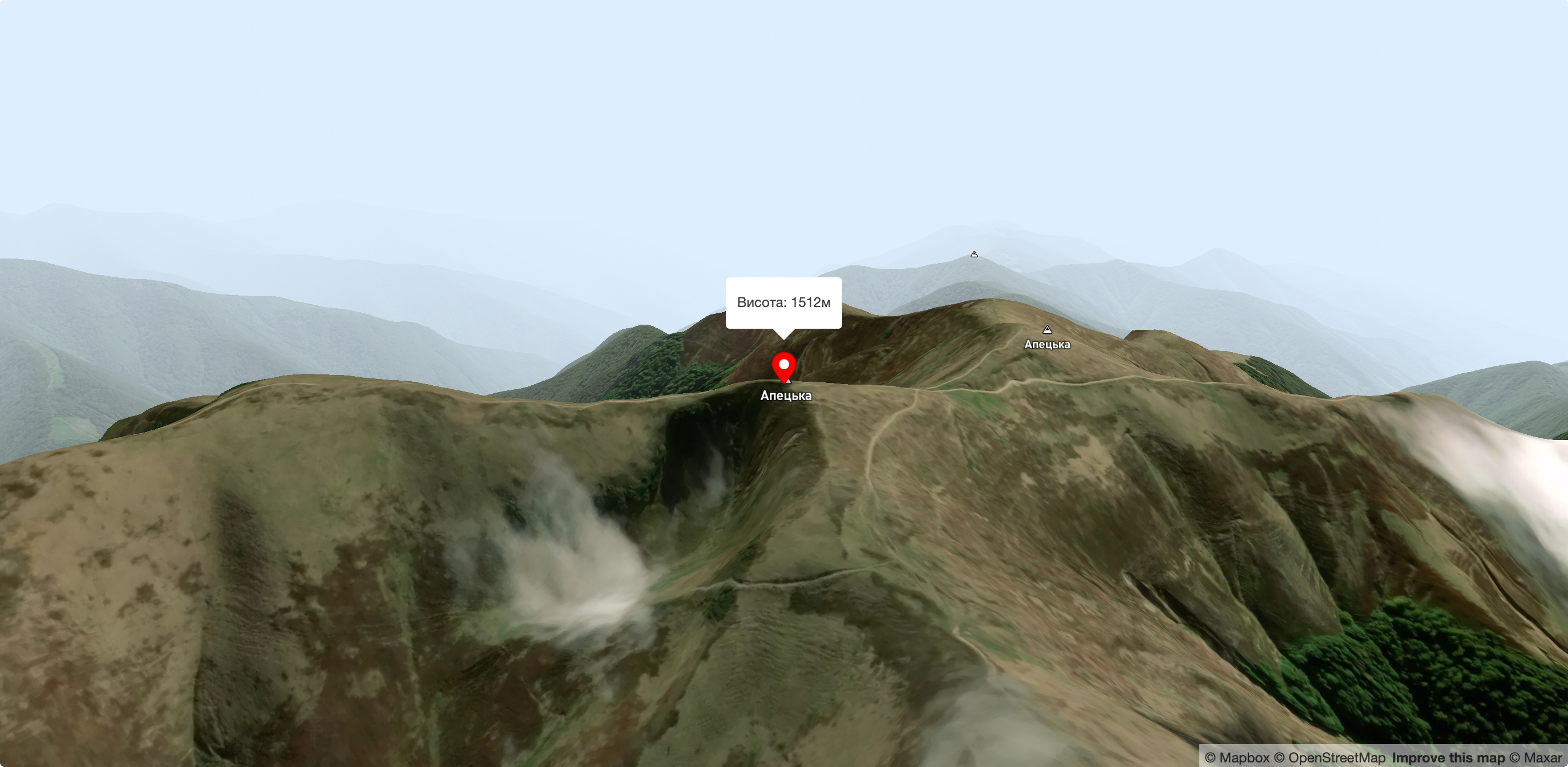
Apetska has several peaks, the highest of which are 1511 and 1512 meters. In plan (top view), the mountain somewhat resembles a giant letter X with ramens up to 3 km long. The name of the mountain comes from the Romanian language and means "water" (apă is Romanian for water). Apetska is named so for a reason, because there are many springs on its slopes that give rise to streams - tributaries of such rivers as Teresva, Velykyi Plavuts, Kraina Rika, and others. Up to an altitude of about 1400 meters, the mountain is covered with coniferous and beech forests, and above that there are meadows with blueberry fields.
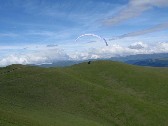
In recent years, a road has been built to Apets'ka, which can be used to reach its peaks even by car or motorcycle. Thanks to this, the mountain is becoming an increasingly attractive destination for weekend trips. From Apetska, in clear weather, you can see Mount Hoverla (38 km away) and part of the city of Khust (about 50 km away).
On the eastern slopes of the peak, the Skurtul stream, the right tributary of the Mala Shopurka, originates.
Accommodation around Mount Apetska:


Nearby hiking trails near Mount Apetska:
Які маршрути проходять повз Mount Apetska?
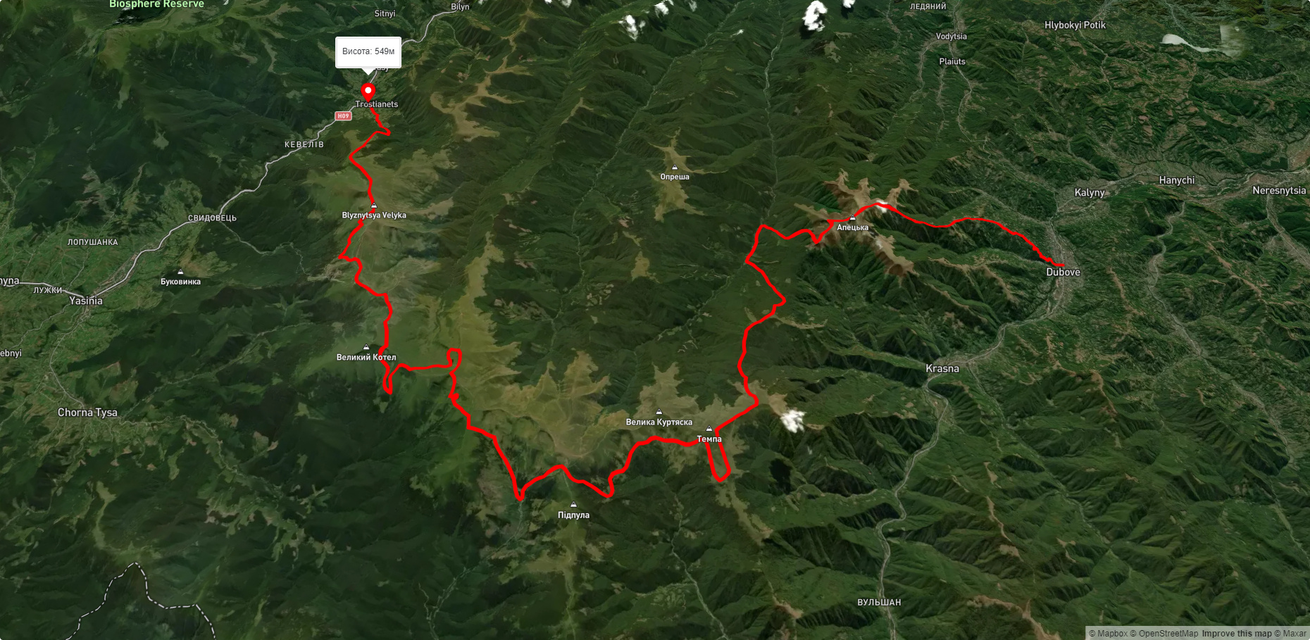
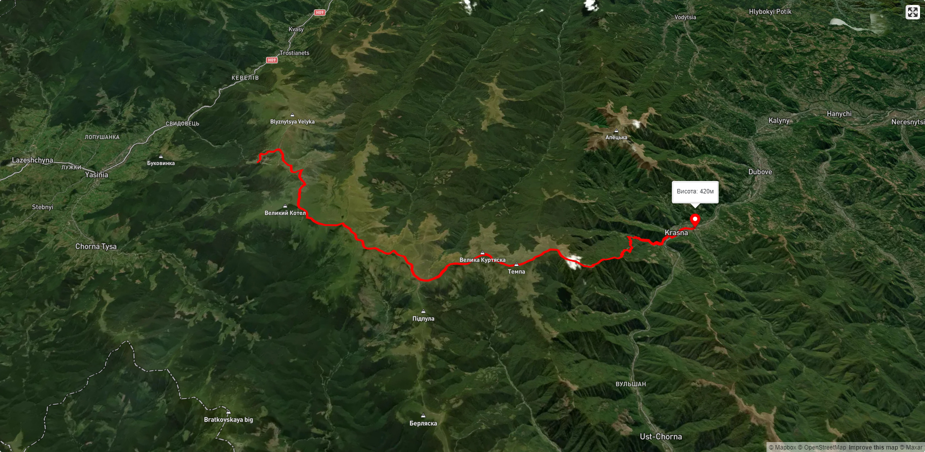
Пропонуємо пройти такі туристичні (пішохідні) маршрути через/біля Mount Apetska: с. Дубове – г. Апецька – с. Дубове, с. Дубове, через г. Апецька, г. Догяска, г. Стіг, г. Близниця до с. Кваси, Драгобрат, через г. Стіг, г. Великий Котел, г. Унгаряска, г. Темпа до с. Красна, смт. Ясіня, через г. Петрос, г. Шешул, с. Кваси, г. Бистриця, г. Темпа до с. Красна, с. Красна, через г. Темпа, г. Унгаряска, г. Великий Котел, г. Близниця до с. Кваси, с. Красна, через г. Темпа, г. Трояска, г. Близниця до м. Рахів