Mount Brebeneskul
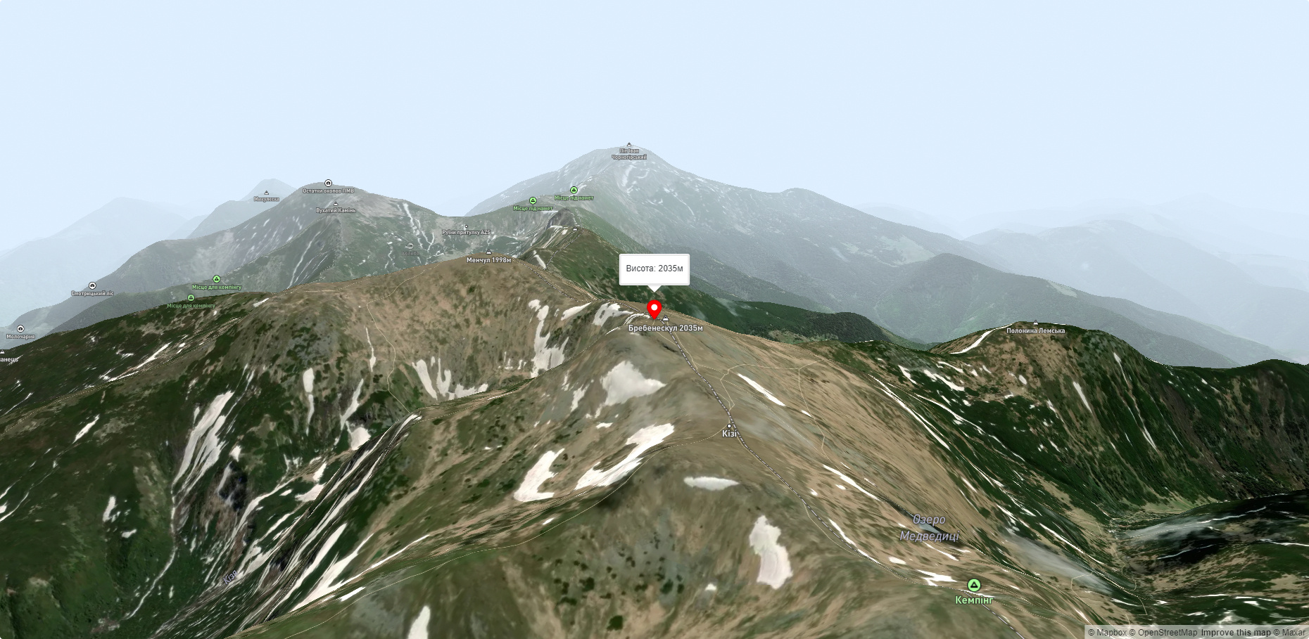
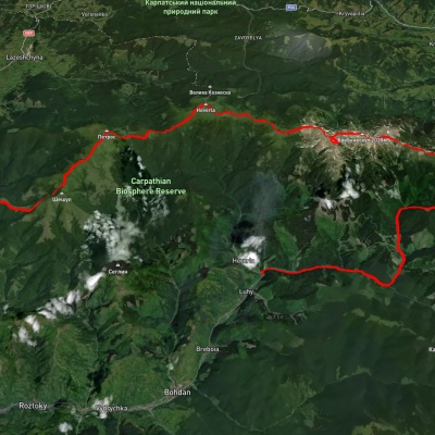
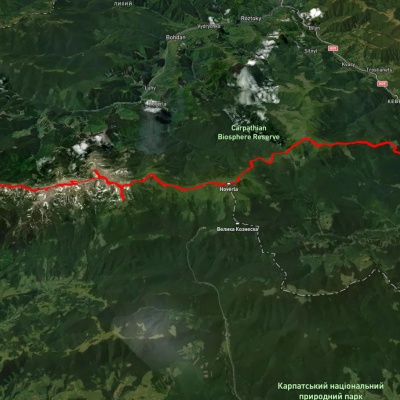
Mount Brebeneskul is the second highest peak in the Ukrainian Carpathians after Hoverla (2061 m), located in the middle of the Chornohora ridge on the border of two regions: Zakarpattia and Ivano-Frankivsk.
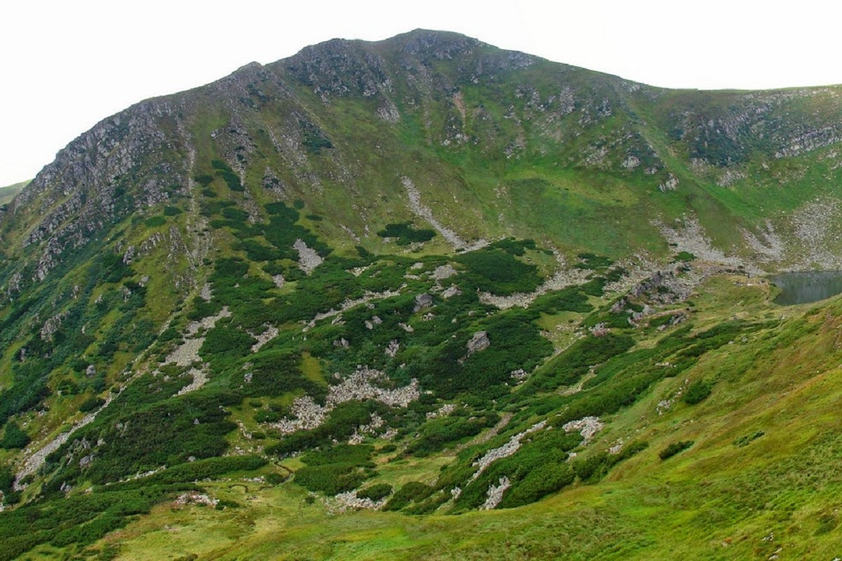
The height of the mountain is 2036 m (according to other information - 2038 m). The peak itself has a dome shape; the summit slopes are covered with alpine and subalpine meadows, as well as stone placers and scree typical of the area.
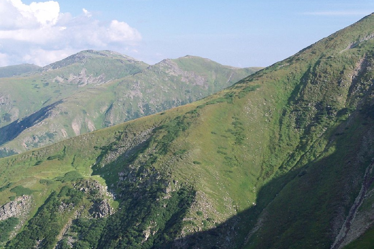
To the west of Brebeneskul is the highest mountainous lake in the Ukrainian Carpathians - Brebeneskul, from which a small stream of the same name flows; to the southeast is Mount Menchul, to the northwest is Mount Rebra.
Brebeneskul is one of the six "Carpathian two-thousanders" - mountains with an altitude of more than two thousand meters above sea level(Hoverla, Pip Ivan Chornohirsky, Petros, Rebra , and Hutyn Tomnatyk).
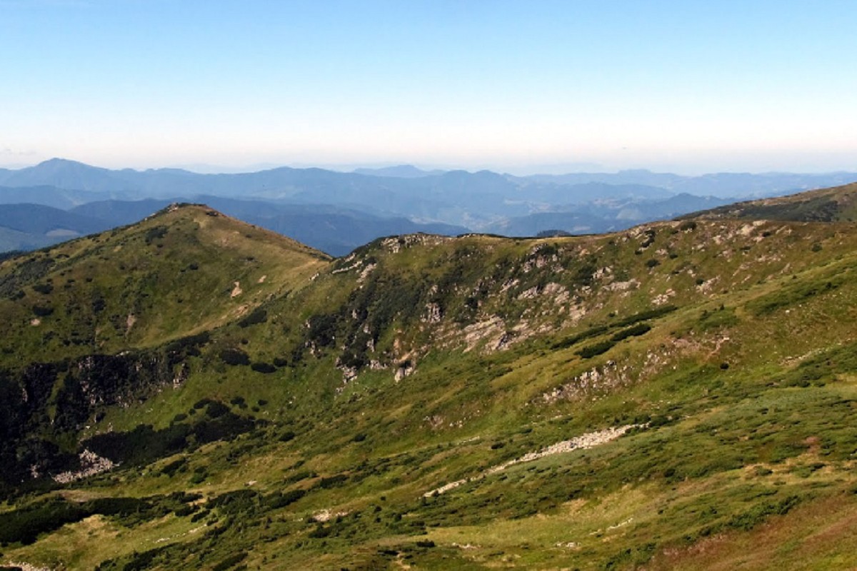
Although Mount Brebeneskul is lower in height than Hoverla, it is considered one of the most beautiful and picturesque peaks in Ukraine.
It is worth noting that there are many marked hiking trails through Brebeneskul, so you can meet travelers at the top almost all year round.
The nearest settlement is the village of Bystrets (Ivano-Frankivsk region).
Accommodation around Mount Brebeneskul:


Nearby hiking trails near Mount Brebeneskul:

Which trails pass by Mount Brebeneskul?
We suggest these hiking trails through or near Mount Brebeneskul: Luhy village, via Mount Pip Ivan Chornohirskyi, Mount Rebra, Mount Hoverla, Mount Petros and Mount Sheshul to Kvasy village, Dzembronia village, via Mount Pip Ivan Chornohirskyi, Mount Hoverla and Mount Petros to Yasinia, Voronenko village, via Mount Kukul, Mount Hoverla and Mount Pip Ivan Chornohirskyi to Zelene village, Zaroslyak base, via Mount Shpytsi, Mount Rebra, Mount Menchul, Mount Turkul and Mount Pozhyzhevska to Zaroslyak base, Luhy village, via Mount Pip Ivan Chornohirskyi, Mount Hoverla and Mount Petros to Kvasy village, Kvasy village, via Mount Petros and Mount Hoverla to Mount Pip Ivan Chornohirskyi