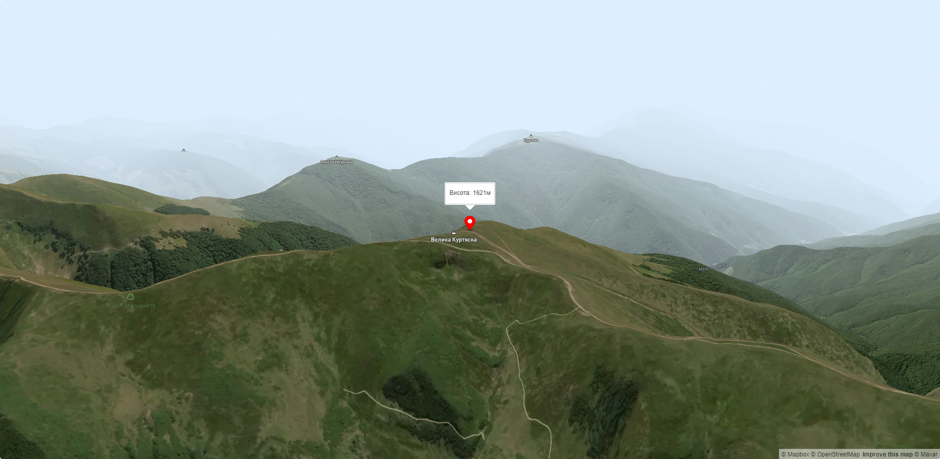
Mount Velyka Kurtyaska (Svydovets)
Velyka Kurtyaska is a mountain in the Svydovets massif (Ukrainian Carpathians). It is located in the northeastern part of Tyachiv district, Zakarpattia region, northeast of the village of Krasna.
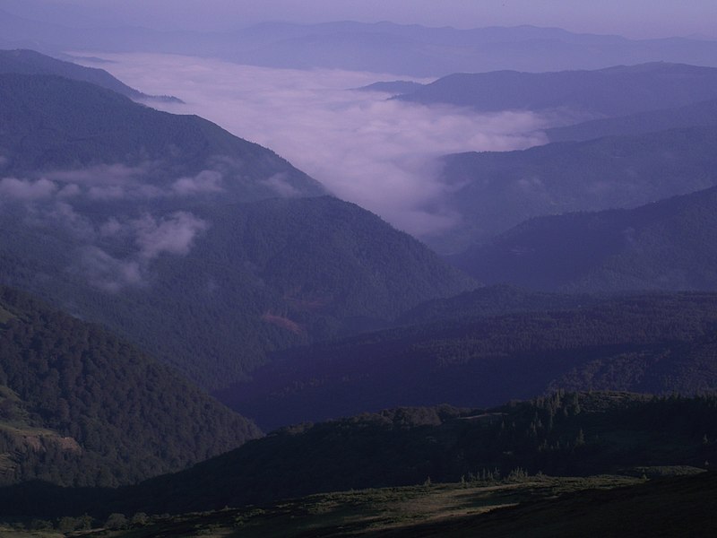
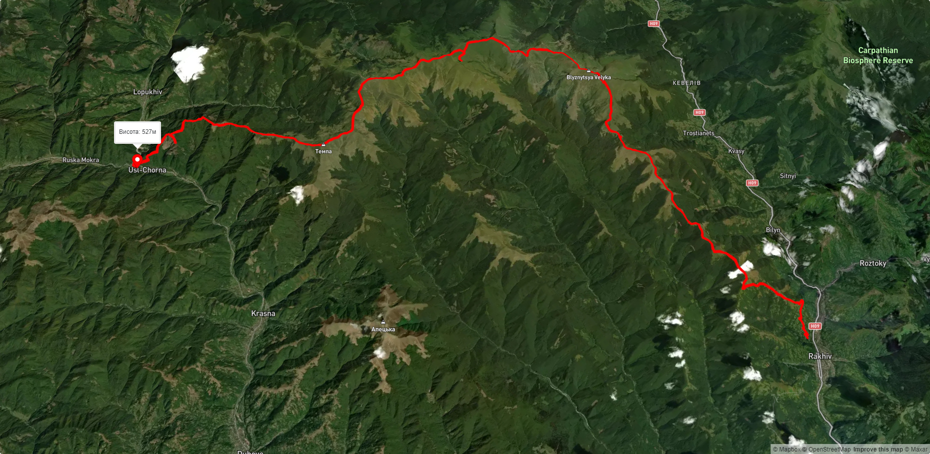
The height is 1621.3 m (according to other sources - 1626 m). The mountain is located on the main ridge of the Svydivets massif. The peak is unforested, the slopes are steep (especially the eastern and northwestern ones). There are extensive meadows around the top.
To the east is Mount Tempa (1634 m), to the northeast is Mount Mala Kurtiaska (1644.1 m). The picturesque valley of the Yablunytsia River (a left tributary of the Brusturyanka, the Teresva basin) stretches northwest of the mountain.
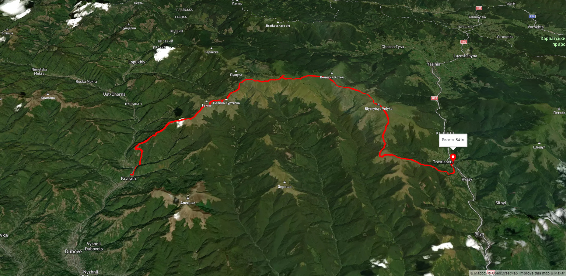
A popular tourist route "By the Peaks of Svydovets" runs through Velyka Kurtyaska (north of the peak) - from the village of Yasinia to the village of Ust-Chorna (or in the opposite direction).
The nearest settlements are the village of Ust-Chorna and the village of Krasna in the Tyachiv district of Zakarpattia region.
Accommodation around Mount Velyka Kurtyaska (Svydovets):


Nearby hiking trails near Mount Velyka Kurtyaska (Svydovets):
Які маршрути проходять повз Mount Velyka Kurtyaska (Svydovets)?
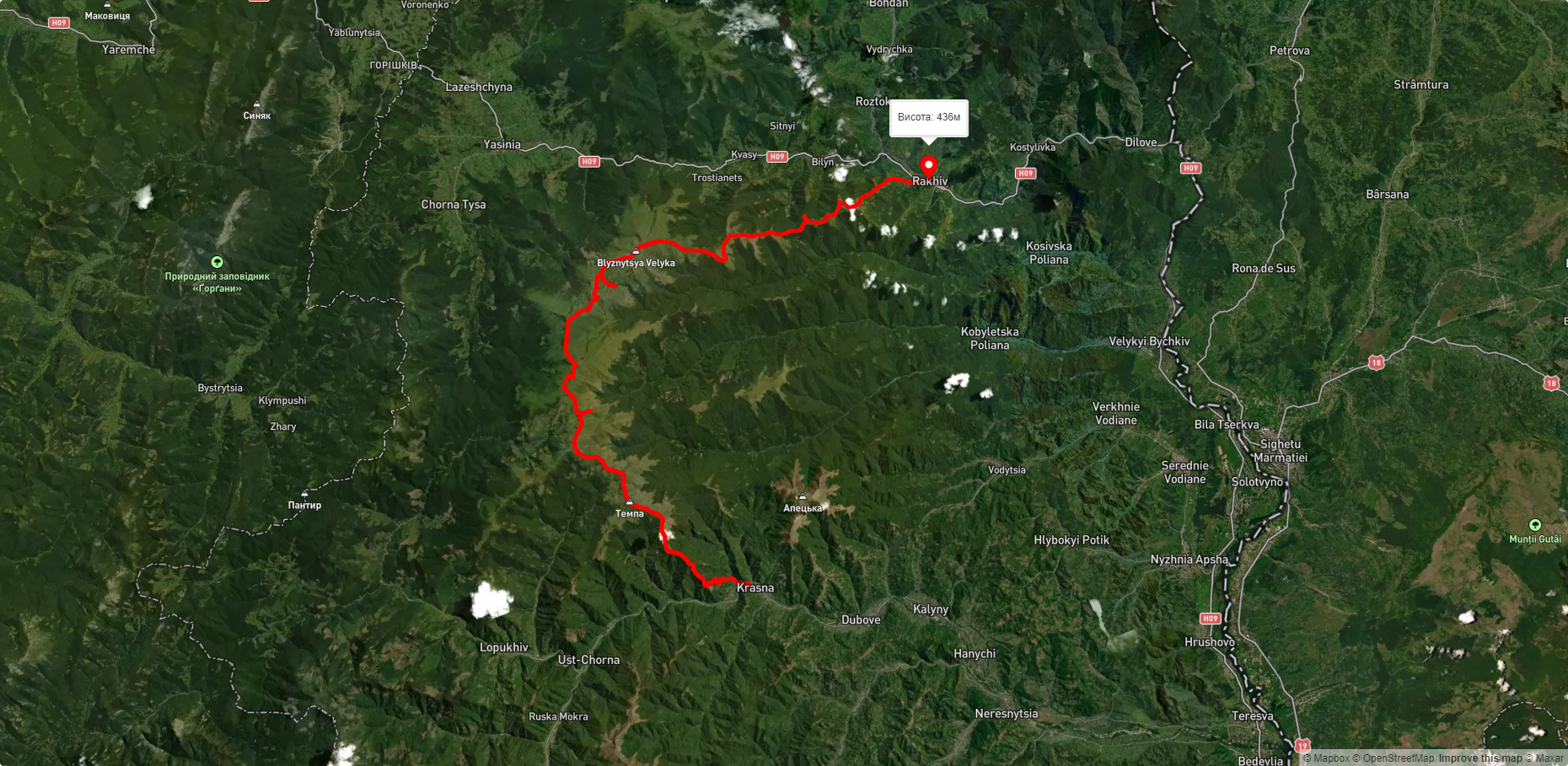
Пропонуємо пройти такі туристичні (пішохідні) маршрути через/біля Mount Velyka Kurtyaska (Svydovets): с. Красна, через г. Темпа, г. Унгаряска, г. Великий Котел, г. Близниця до с. Кваси, с. Красна, через г. Темпа, г. Трояска, г. Близниця до м. Рахів, м. Рахів, через г. Близниця, г. Унгаряска, г. Темпа до с. Усть-Чорна, смт. Ясіня, через г. Петрос, г. Шешул, с. Кваси, г. Бистриця, г. Темпа до с. Красна, с. Колочава, через хр. Красна, с. Усть-Чорна, хр. Свидовець до смт. Ясіня, Закарпатський туристичний шлях