Hnatasya Mountain
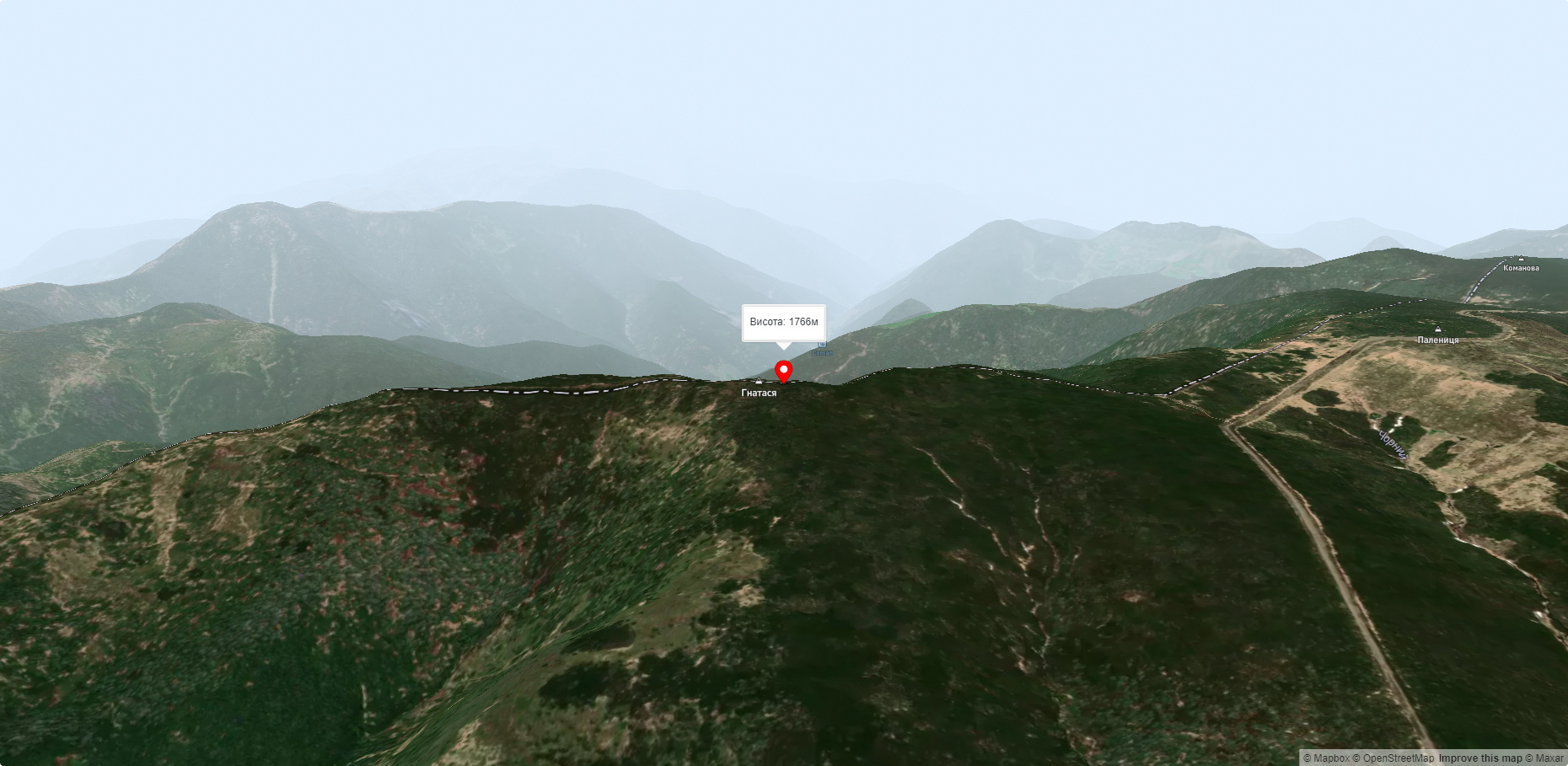
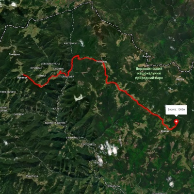
Mount Hnatasya, 1766 meters high, is a peak in the Ukrainian Carpathians. It is located in the southeastern part of the Chyvchyn Mountains of the Marmarosh mountain range in the Verkhovyna district of Ivano-Frankivsk region.
The mountain is located southeast of the village of Burkut (Verkhovyna district, Ivano-Frankivsk region) and west of the village of Sarata(Putyla district , Chernivtsi region), one of the most inaccessible and remote villages in the Ukrainian Carpathians.
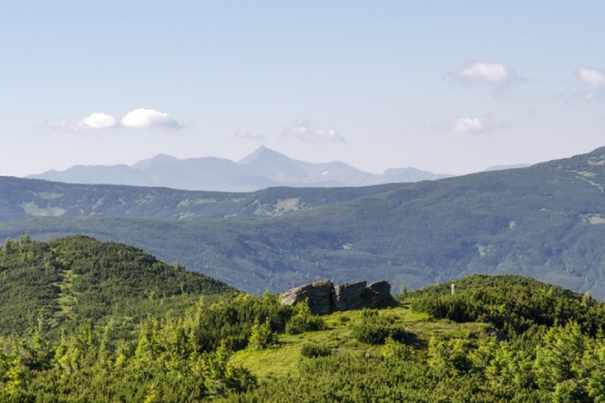
The northern, western, and southern slopes of Hnatasi are steep, while the eastern slopes are very steep, sometimes with rocky ledges. The peak itself and its summit part are unforested.
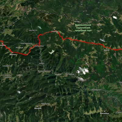
The border between Ukraine and Romania passes through the top of Hnatas.
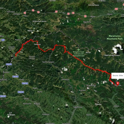
To the north of the mountain are such famous peaks of the Chyvchyn Mountains as Mount Palenytsia, Mount Komanova, and Mount Koman.
Mount Hnatasya is the southernmost peak of the Ukrainian Carpathians.
The nearest settlement is the village of Burkut in Verkhovyna district of Ivano-Frankivsk region.
Nearby hiking trails near Hnatasya Mountain:
Які маршрути проходять повз Hnatasya Mountain?
Пропонуємо пройти такі туристичні (пішохідні) маршрути через/біля Hnatasya Mountain: г. Яровиця, через хр. Прилучний, г. Пнів'є до Свято-Троїцького Монастира, с. Шепіт, через г. Яровиця, г. Пнів'є, г. Масний Присліп до с. Шибене, с. Шепіт, через г. Яровиця, г. Пнів'є, г. Тарниця до с. Пробійнівка, с. Пробійнівка, через г. Тарниця, г. Пнів’є, г. Чивчин до с. Шибене, Пірє - Черемош - Пауківка, Перкалаба - Томнатик