Hiking routes
Found 514 options
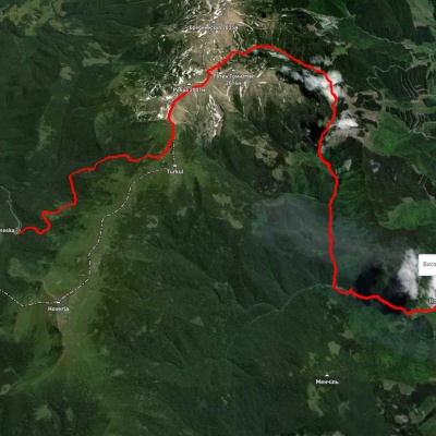
Zaroslyak base, via Lake Nesamovyte, Mount Rebra and Lake Brebeneskul to Luhy village
Three days or more
Unmarked
Passes through peaks: Mount Danzig, Mount Turkul, Mount Rebra, Mount Gutin Tomnatik, Mount Brebeneskul
3D map
36 views
Length: 27.7km
Total ascent: 755m
Total descent: 1394m
Minimum altitude: 683m
Maximum altitude: 1966m
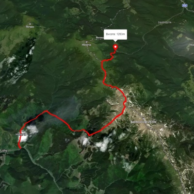
Luhy village, via Mount Hutyn Tomnatyk, Mount Rebra, Lake Nesamovyte and Mount Pozhyzhevska to Zaroslyak base
Two-day routes
Unmarked
3D map
40 views
Length: 22.4km
Total ascent: 1813m
Total descent: 1204m
Minimum altitude: 652m
Maximum altitude: 1999m
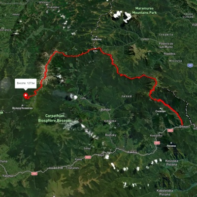
Dilove village, via Mount Pip Ivan Marmaroskyi, Mount Pip Ivan Chornohirskyi and Lake Nesamovyte to Zaroslyak base
Three days or more
Unmarked
3D map
38 views
Length: 75.1km
Total ascent: 4023m
Total descent: 3126m
Minimum altitude: 358m
Maximum altitude: 2008m
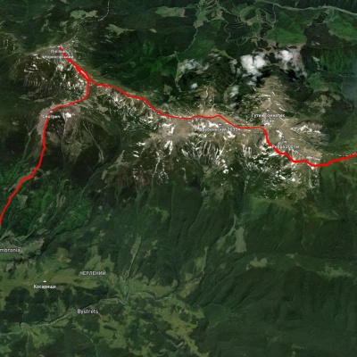
Dzembronia village, via Mount Pip Ivan Chornohirskyi and Mount Pozhyzhevska to Zaroslyak base
Three days or more
Unmarked
Passes through peaks: Mount Smotrych, Mount Pip Ivan of Chornohora (Pip Ivan, Black Mountain), Mount Dzembronya, Mount Menchul, Mount Brebeneskul, Mount Gutin Tomnatik, Mount Rebra, Mount Turkul, Mount Danzig, Mount Pozhyzhevska, Mount Breskul
3D map
26 views
Length: 27.5km
Total ascent: 2210m
Total descent: 1817m
Minimum altitude: 817m
Maximum altitude: 2015m

Carpathian GuideOnline