Hiking routes
Found 552 options
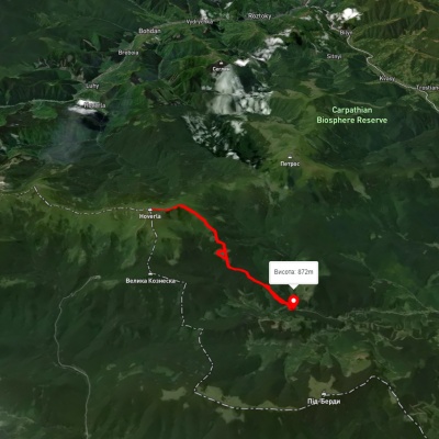
3D map
104 views
Length: 15.3km
Total ascent: 1236m
Total descent: 1225m
Minimum altitude: 859m
Maximum altitude: 2055m
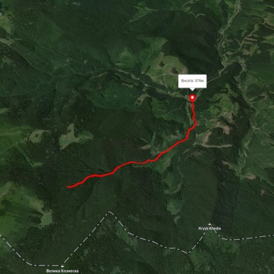
3D map
122 views
Length: 4.3km
Total ascent: 77m
Total descent: 436m
Minimum altitude: 889m
Maximum altitude: 1263m
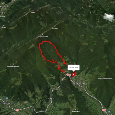
3D map
148 views
Length: 12.6km
Total ascent: 1197m
Total descent: 1172m
Minimum altitude: 526m
Maximum altitude: 1194m
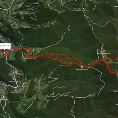
3D map
130 views
Length: 16.4km
Total ascent: 1026m
Total descent: 983m
Minimum altitude: 527m
Maximum altitude: 1391m
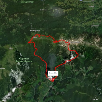
Luhy village, via Mount Hutyn Tomnatyk, Lake Brebeneskul, Lake Nesamovyte and Mount Hoverla to Luhy village
Ring routes
Unmarked
3D map
116 views
Length: 45.4km
Total ascent: 3607m
Total descent: 3607m
Minimum altitude: 650m
Maximum altitude: 2039m
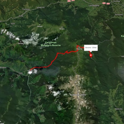
Luhy village, via Mount Hoverla to Zaroslyak base
Two-day routes
Unmarked
Passes through peaks: Mount Breskul, Mount Hoverla
3D map
108 views
Length: 23.7km
Total ascent: 1431m
Total descent: 816m
Minimum altitude: 665m
Maximum altitude: 2053m
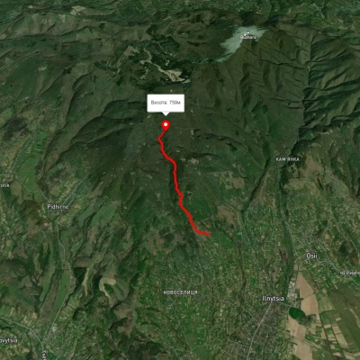
3D map
133 views
Length: 4.6km
Total ascent: 559m
Total descent: 107m
Minimum altitude: 331m
Maximum altitude: 783m
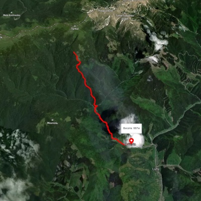
3D map
96 views
Length: 8.5km
Total ascent: 341m
Total descent: 1197m
Minimum altitude: 687m
Maximum altitude: 1574m
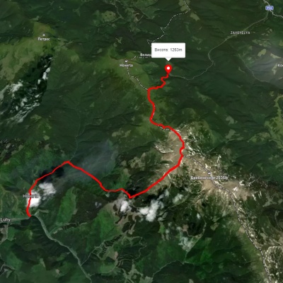
Luhy village, via Mount Hutyn Tomnatyk, Mount Rebra, Lake Nesamovyte and Mount Pozhyzhevska to Zaroslyak base
Two-day routes
Unmarked
3D map
131 view
Length: 22.4km
Total ascent: 1813m
Total descent: 1204m
Minimum altitude: 652m
Maximum altitude: 1999m
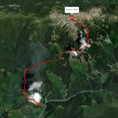
3D map
119 views
Length: 16.4km
Total ascent: 1580m
Total descent: 430m
Minimum altitude: 647m
Maximum altitude: 1800m
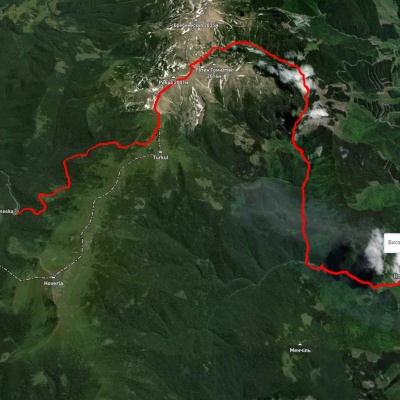
Zaroslyak base, via Lake Nesamovyte, Mount Rebra and Lake Brebeneskul to Luhy village
Three days or more
Unmarked
Passes through peaks: Mount Danzig, Mount Turkul, Mount Rebra, Mount Gutin Tomnatik, Mount Brebeneskul
3D map
130 views
Length: 27.7km
Total ascent: 755m
Total descent: 1394m
Minimum altitude: 683m
Maximum altitude: 1966m
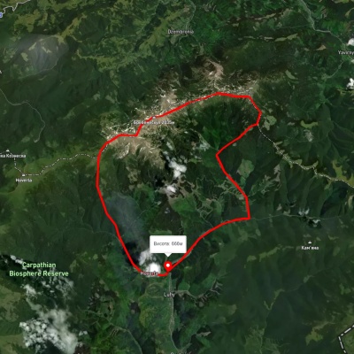
Luhy village, via Mount Pip Ivan Chornohirskyi, Mount Dzembronia, Mount Brebeneskul and Lake Nesamovyte to Hoverla village
Ring routes
Unmarked
3D map
110 views
Length: 38.9km
Total ascent: 1503m
Total descent: 1503m
Minimum altitude: 651m
Maximum altitude: 2019m

Carpathian GuideOnline