Hiking routes
Found 520 options

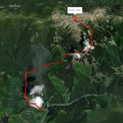
Voronenko village, via Mount Kukul to Kryvopillia village
Three days or more
Unmarked
Passes through peaks: Mount Kukul
3D map
42 views
Length: 26.9km
Total ascent: 3173m
Total descent: 3071m
Minimum altitude: -26m
Maximum altitude: 1541m
3D map
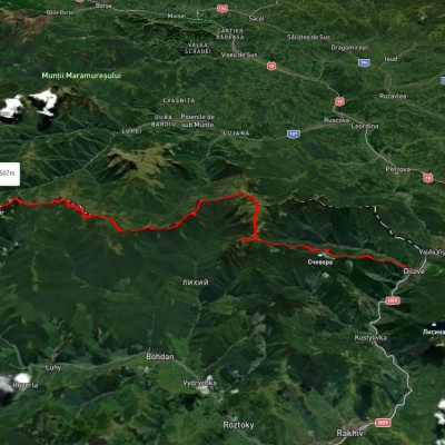
33 views
Length: 16.4km
Total ascent: 1580m
Total descent: 430m
Minimum altitude: 647m
Maximum altitude: 1800m
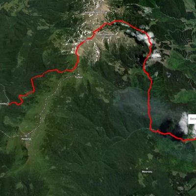
Dilove village, via Mount Pip Ivan Marmaroskyi, Mount Mika-Mare and Mount Steavul to Mount Stih
Three days or more
Unmarked
Passes through peaks: Berlebashka Mountain, Mount Pip Ivan of Marmarosh, Mount Mala Nenieska, Mount Mica Mare, Mount Birsenscu, Mount Steavul, Mount Stig
3D map
36 views
Length: 45.1km
Total ascent: 3537m
Total descent: 2390m
Minimum altitude: 358m
Maximum altitude: 1923m
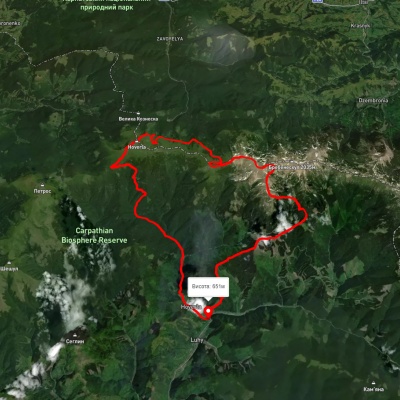
Zaroslyak base, via Lake Nesamovyte, Mount Rebra and Lake Brebeneskul to Luhy village
Three days or more
Unmarked
Passes through peaks: Mount Danzig, Mount Turkul, Mount Rebra, Mount Gutin Tomnatik, Mount Brebeneskul
3D map
36 views
Length: 27.7km
Total ascent: 755m
Total descent: 1394m
Minimum altitude: 683m
Maximum altitude: 1966m
Luhy village, via Mount Hutyn Tomnatyk, Lake Brebeneskul, Lake Nesamovyte and Mount Hoverla to Luhy village
Ring routes
Unmarked
3D map
29 views
Length: 45.4km
Total ascent: 3607m
Total descent: 3607m
Minimum altitude: 650m
Maximum altitude: 2039m
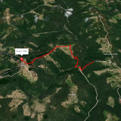
3D map
38 views
Length: 6.3km
Total ascent: 462m
Total descent: 282m
Minimum altitude: 1229m
Maximum altitude: 1566m
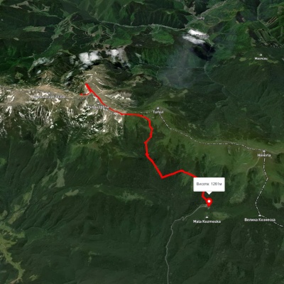
Lake Brebeneskul, via Mount Hutyn Tomnatyk and Lake Nesamovyte to Zaroslyak base
One-day routes
Unmarked
Passes through peaks: Mount Gutin Tomnatik, Mount Rebra, Mount Turkul, Mount Danzig
3D map
40 views
Length: 11.9km
Total ascent: 960m
Total descent: 1587m
Minimum altitude: 1160m
Maximum altitude: 1990m

Vorokhta, via Mount Shpytsi and Mount Rebra to Lake Brebeneskul
Three days or more
Unmarked
Passes through peaks: Mount Gomul, Mount Shpytsi, Mount Rebra, Mount Gutin Tomnatik
3D map
52 views
Length: 28.3km
Total ascent: 1662m
Total descent: 608m
Minimum altitude: 734m
Maximum altitude: 1981m
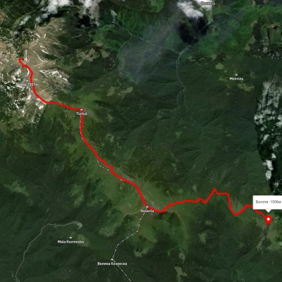
Lake Brebeneskul, via Mount Rebra, Lake Nesamovyte and Mount Hoverla to Holovcheska polonyna
Two-day routes
Unmarked
Passes through peaks: Mount Gutin Tomnatik, Mount Rebra, Mount Turkul, Mount Danzig, Mount Pozhyzhevska, Mount Breskul, Mount Hoverla
3D map
28 views
Length: 16.7km
Total ascent: 872m
Total descent: 1174m
Minimum altitude: 1494m
Maximum altitude: 2056m
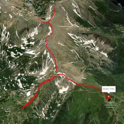
Lake Brebeneskul, via Mount Rebra and Mount Shpytsi to Lake Nesamovyte
One-day routes
Unmarked
Passes through peaks: Mount Gutin Tomnatik, Mount Rebra, Mount Shpytsi, Mount Turkul
3D map
43 views
Length: 7km
Total ascent: 421m
Total descent: 464m
Minimum altitude: 1737m
Maximum altitude: 1999m
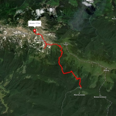
Zaroslyak base, via Lake Nesamovyte and Mount Shpytsi to Lake Brebeneskul
One-day routes
Unmarked
Passes through peaks: Mount Danzig, Mount Turkul, Mount Rebra, Mount Shpytsi, Mount Gutin Tomnatik
3D map
31 view
Length: 13.6km
Total ascent: 1251m
Total descent: 731m
Minimum altitude: 1260m
Maximum altitude: 1966m
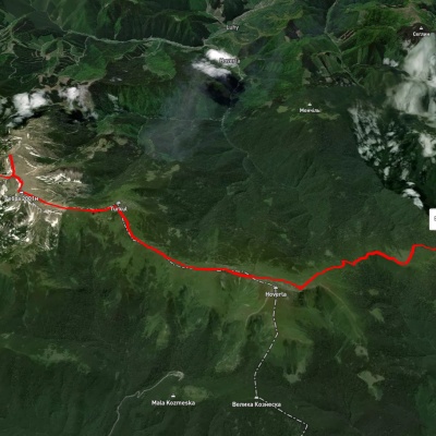
Lake Brebeneskul, via Mount Hutyn Tomnatyk, Mount Rebra and Mount Hoverla to Holovcheska polonyna
Two-day routes
Unmarked
Passes through peaks: Mount Gutin Tomnatik, Mount Rebra, Mount Turkul, Mount Danzig, Mount Pozhyzhevska, Mount Breskul, Mount Hoverla
3D map
32 views
Length: 16.3km
Total ascent: 620m
Total descent: 909m
Minimum altitude: 1515m
Maximum altitude: 2022m
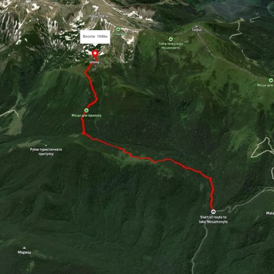
Zaroslyak base – Mount Shpytsi
One-day routes
Unmarked
Passes through peaks: Mount Gomul, Mount Shpytsi
3D map
34 views
Length: 6.9km
Total ascent: 814m
Total descent: 68m
Minimum altitude: 1105m
Maximum altitude: 1851m
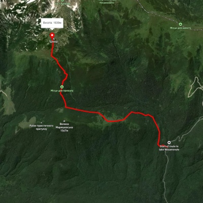
Zaroslyak base – Mount Shpytsi
One-day routes
Unmarked
Passes through peaks: Mount Gomul, Mount Shpytsi
3D map
35 views
Length: 6.1km
Total ascent: 769m
Total descent: 55m
Minimum altitude: 1132m
Maximum altitude: 1846m
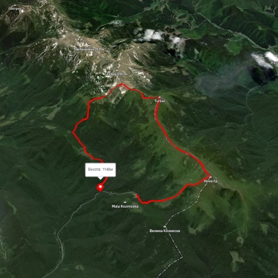
Zaroslyak base, via Mount Hoverla, Lake Nesamovyte and Mount Shpytsi to Zaroslyak base
Ring routes
Unmarked
Passes through peaks: Mount Hoverla, Mount Breskul, Mount Pozhyzhevska, Mount Danzig, Mount Turkul, Mount Rebra, Mount Shpytsi, Mount Gomul
3D map
35 views
Length: 17.6km
Total ascent: 1382m
Total descent: 1494m
Minimum altitude: 1147m
Maximum altitude: 2045m
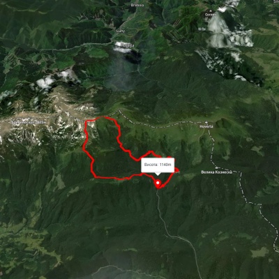
Zaroslyak base, via Lake Nesamovyte and Mount Shpytsi to Zaroslyak base
Ring routes
Unmarked
Passes through peaks: Mount Gomul, Mount Shpytsi, Mount Rebra, Mount Turkul, Mount Danzig
3D map
41 view
Length: 18.2km
Total ascent: 937m
Total descent: 923m
Minimum altitude: 1162m
Maximum altitude: 1964m
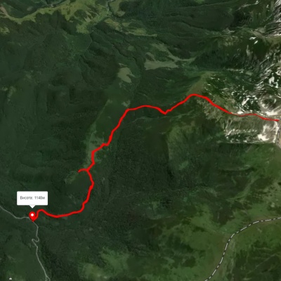
Zaroslyak base – Mount Shpytsi – Mount Rebra – Zaroslyak base
Ring routes
Unmarked
Passes through peaks: Mount Gomul, Mount Shpytsi, Mount Rebra
3D map
28 views
Length: 15.2km
Total ascent: 1010m
Total descent: 1011m
Minimum altitude: 1146m
Maximum altitude: 1932m
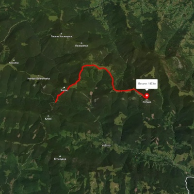
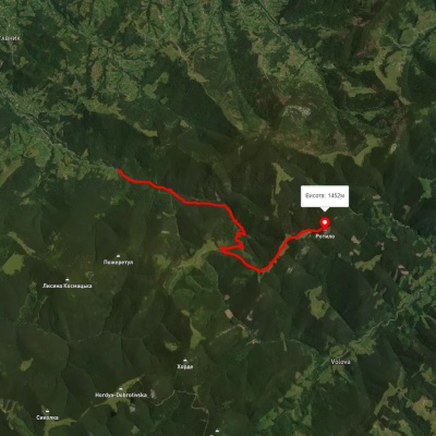
3D map
40 views
Length: 8.5km
Total ascent: 646m
Total descent: 415m
Minimum altitude: 1210m
Maximum altitude: 1453m
3D map
37 views
Length: 9.6km
Total ascent: 856m
Total descent: 94m
Minimum altitude: 801m
Maximum altitude: 1565m
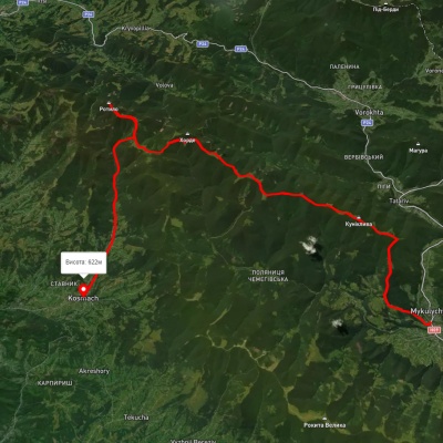
Mykulychyn village, via Mount Khorde and Mount Rotylo to Kosmach village
Three days or more
Unmarked
Passes through peaks: Mount Lisniv, Mount Horde, Mount Rotilo
3D map
41 view
Length: 39.7km
Total ascent: 1591m
Total descent: 1567m
Minimum altitude: 592m
Maximum altitude: 1448m
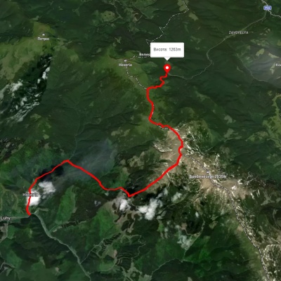
Luhy village, via Mount Hutyn Tomnatyk, Mount Rebra, Lake Nesamovyte and Mount Pozhyzhevska to Zaroslyak base
Two-day routes
Unmarked
3D map
38 views
Length: 22.4km
Total ascent: 1813m
Total descent: 1204m
Minimum altitude: 652m
Maximum altitude: 1999m
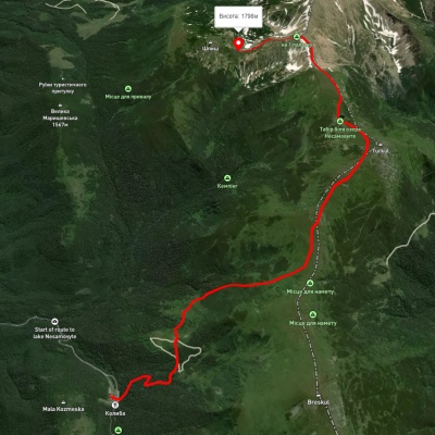
Zaroslyak base, via Lake Nesamovyte to Mount Shpytsi
One-day routes
Unmarked
Passes through peaks: Mount Pozhyzhevska, Mount Danzig, Mount Turkul, Mount Rebra, Mount Shpytsi
3D map
35 views
Length: 9km
Total ascent: 883m
Total descent: 330m
Minimum altitude: 1264m
Maximum altitude: 1922m
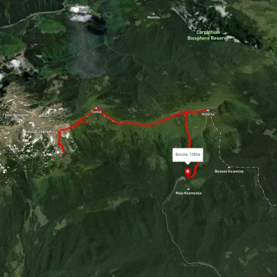
Lake Nesamovyte, via Mount Shpytsi, Mount Hoverla and Hoverla Waterfall to Zaroslyak base
Two-day routes
Unmarked
Passes through peaks: Mount Turkul, Mount Rebra, Mount Shpytsi, Mount Danzig, Mount Pozhyzhevska, Mount Breskul, Mount Hoverla
3D map
37 views
Length: 14.4km
Total ascent: 987m
Total descent: 1453m
Minimum altitude: 1279m
Maximum altitude: 2037m
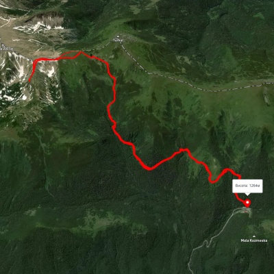
Zaroslyak base, via Lake Nesamovyte and Mount Shpytsi to Zaroslyak base
Ring routes
Unmarked
Passes through peaks: Mount Danzig, Mount Turkul, Mount Rebra, Mount Shpytsi
3D map
32 views
Length: 18.7km
Total ascent: 836m
Total descent: 764m
Minimum altitude: 1227m
Maximum altitude: 1928m

Lazeshchyna village, via Kozmeshchyk and Mount Hoverla to Mount Shpytsi
Three days or more
Unmarked
Passes through peaks: Mount Hoverla, Mount Breskul, Mount Pozhyzhevska, Mount Danzig, Mount Turkul, Mount Rebra, Mount Shpytsi
3D map
33 views
Length: 24.5km
Total ascent: 1884m
Total descent: 709m
Minimum altitude: 717m
Maximum altitude: 2037m
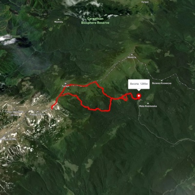
Zaroslyak base, via Mount Dantsizh, Mount Turkul and Lake Nesamovyte to Zaroslyak base
Ring routes
Unmarked
Passes through peaks: Mount Pozhyzhevska, Mount Danzig, Mount Turkul, Mount Rebra
3D map
35 views
Length: 17.5km
Total ascent: 961m
Total descent: 956m
Minimum altitude: 1253m
Maximum altitude: 1931m
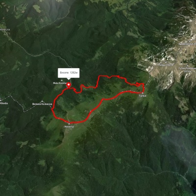
Zaroslyak base, via Mount Hoverla and Lake Nesamovyte to Zaroslyak base
Ring routes
Unmarked
Passes through peaks: Mount Hoverla, Mount Breskul, Mount Pozhyzhevska, Mount Danzig, Mount Turkul
3D map
81 view
Length: 19.1km
Total ascent: 1212m
Total descent: 1216m
Minimum altitude: 1265m
Maximum altitude: 2055m
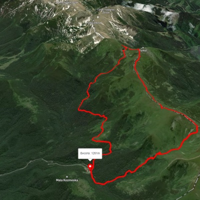
Zaroslyak base, via Lake Nesamovyte and Hoverla Waterfall to Zaroslyak base
Ring routes
Unmarked
Passes through peaks: Mount Danzig, Mount Turkul, Mount Pozhyzhevska, Mount Breskul, Mount Hoverla
3D map
40 views
Length: 17.4km
Total ascent: 3965m
Total descent: 3955m
Minimum altitude: 1111m
Maximum altitude: 1940m
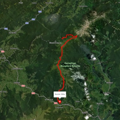
Zaroslyak base, via Lake Nesamovyte, Mount Breskul, the Mount Hoverla traverse and Mount Petros to Kvasy village
Three days or more
Unmarked
3D map
30 views
Length: 37.8km
Total ascent: 1377m
Total descent: 2140m
Minimum altitude: 574m
Maximum altitude: 2016m
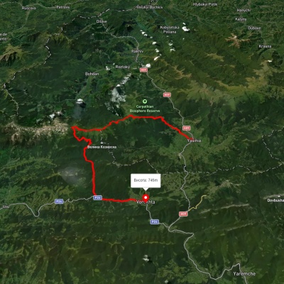
Yasinia, via Mount Petros, Mount Hoverla, Lake Nesamovyte and Zaroslyak base to Vorokhta
Three days or more
Unmarked
Passes through peaks: Mount Petrosul, Mount Petros, Mount Hoverla, Mount Breskul, Mount Pozhyzhevska, Mount Danzig, Mount Turkul
3D map
52 views
Length: 60.3km
Total ascent: 2258m
Total descent: 2137m
Minimum altitude: 634m
Maximum altitude: 2055m

Carpathian GuideOnline