Choruses
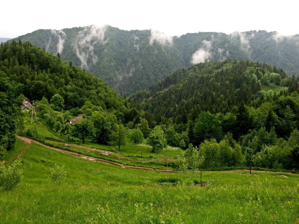
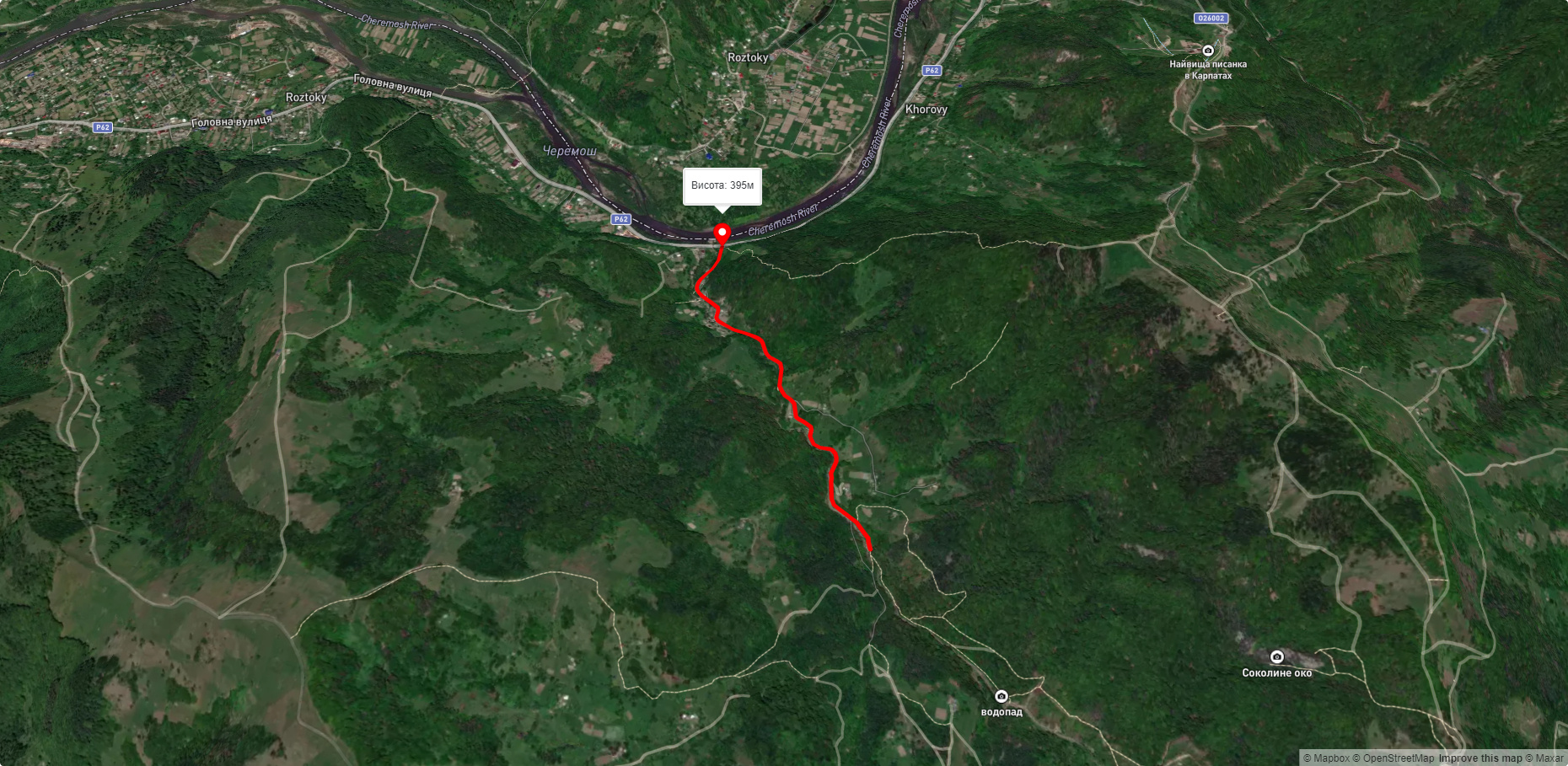
Khorovy is a village in Ukraine, in the Chernivtsi region, Putyla district. Not far from the village there are natural monuments - the rocks "Protyati Kameni " and "Nimchych", as well as the Nimchych Pass.
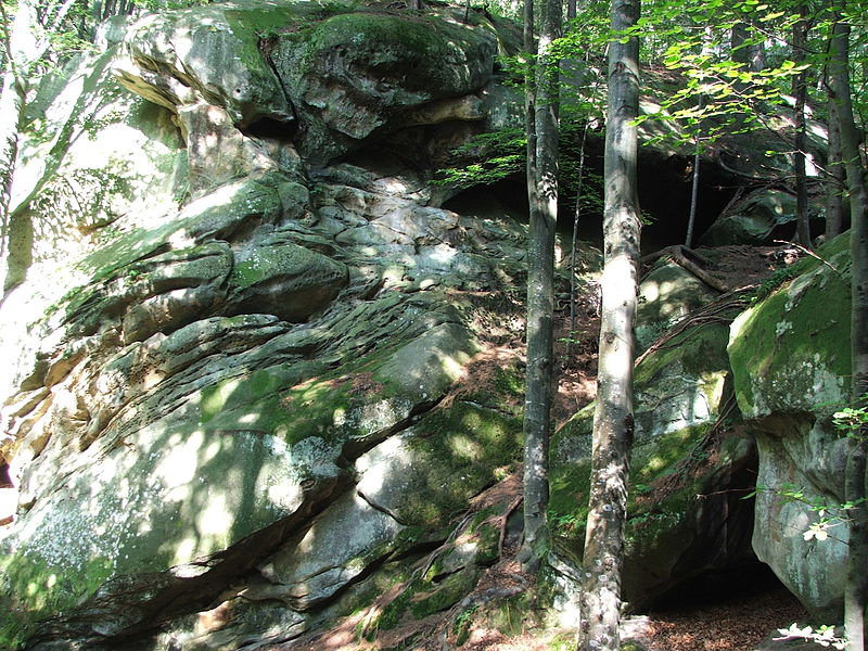
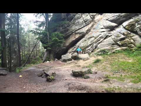
Protyati Kameni is a geological natural monument of local importance in Ukraine, a group of picturesque rocks. The area of the natural monument is 2 hectares and is managed by the Roztokiv Forestry. The rocks are located in the Pokutsko-Bukovyna Carpathians, on the border of Putyla and Vyzhnytsia districts of Chernivtsi region, near the eastern part of the village of Khorovy. The rocks are located an hour and a half walk south of the Nimchych Pass, on a low mountain ridge between the Vyzhenka and the Smuhariv streams.
Nimchych is a complex natural monument of local importance in Ukraine. It is located within the Putyla district of Chernivtsi region, northeast of the village of Khorovy. The area is 2 hectares. The status was granted in 1984. It is under the jurisdiction of the Carpathian State Forestry and Hunting Range Administration. The status was granted in order to preserve the picturesque natural complex on the western slopes of the Nimchych Pass in the Pokutsko-Bukovyna Carpathians.
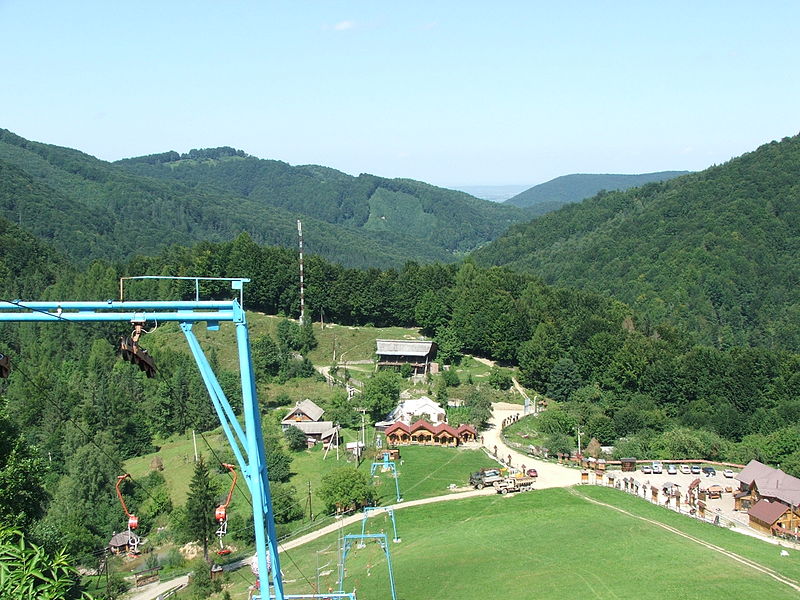
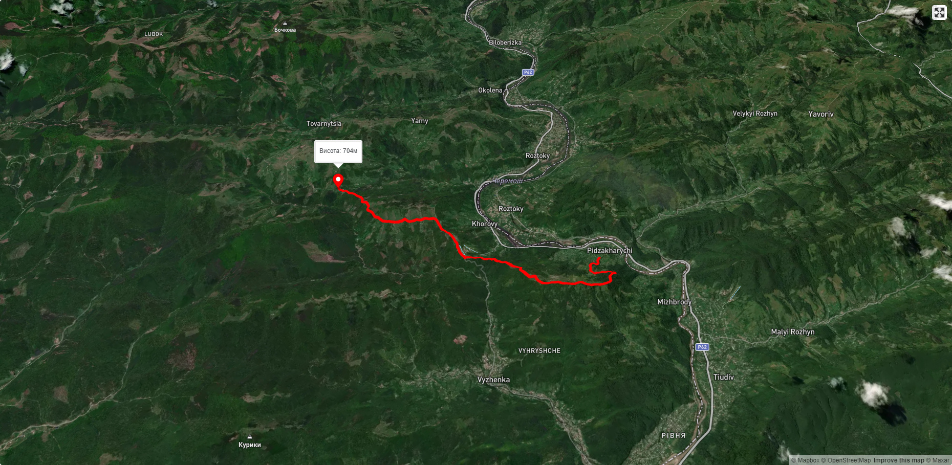
Nimchych (also known as Turkish Horse) is a pass in the Pokutsko-Bukovyna Carpathians (Ukrainian Carpathians). It is located on the border of Putyla and Vyzhnytsia districts of Chernivtsi region, in the watershed of the Vyzhenka and Cheremosh rivers. The height is 580 meters. The slopes are steep, so the road is serpentine with many turns. Near the pass there are outlets of ferrous mineral waters. Lowland forest landscapes with spruce-fir-beech forests are common. The Chernivtsi-Vyzhnytsia-Putyla highway used to pass through the pass. But after the construction of a new section of the Vyzhnytsia-Pidzakharychi-Khorovy road along the Cheremosh, the pass is hardly used. Nimchych is a tourist destination, with hiking trails leading from it to the natural monuments of the "Extended Stones" and "Dovbush's Cave."
The northeastern slopes of the pass are located within the boundaries of the Vyzhnytsia National Nature Park. The nearest settlements are the village of Vyzhenka and the village of Khorovy.
Рекомендуємо відвідати в Choruses


Маршрути поблизу Choruses
Які туристичні (пішохідні) маршрути проходять через/біля Choruses?
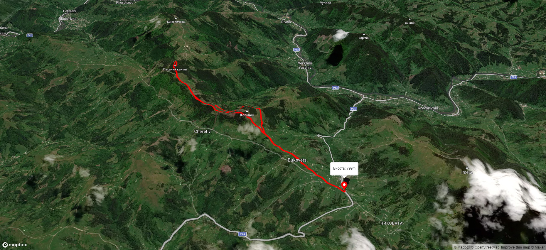
Пропонуємо пройти такі туристичні (пішохідні) маршрути через/біля Choruses: пер. Німчич - Протяте Каміння, Смугарські водоспади, с. Буковець – Писаний Камінь – с. Буковець, Писаний Камінь – с. Буковець, с. Космач, через г. Ротило, г. Грегіт, г. Біла Кобила до с.Буковець, На Довбушеві Комори