Bukovets
Bukovets is a village in the Bolekhiv City Council of Ivano-Frankivsk Oblast. It is located in the east of Ivano-Frankivsk region within the Prykarpattia region and in the valley of the Sukil River, and there are numerous tourist attractions around the village.
The village of Bukovets is located in the hollow of the mountain river Sukil (which flows in the middle of the village). The village is located not far from the town of Bolekhiv (15 kilometers northeast of its center), and borders the villages of: Trukhaniv (in the Lviv region) and Kozakivka (in the south), and Polianytsia (in the north). Living in a mountainous area, most of the villagers work in the forestry and farms, and also have the opportunity to work at the enterprises of Bolekhiv.
The fate of the village is closely intertwined with the neighboring village of Polianytsia, which is the administrative center of this district. In the late XVIII - early XIX centuries, a hamlet was founded by German colonists on the so-called "chamber (state) lands" and named Yamerstal. The settlement is located in a picturesque valley between the villages of Polianytsia and Kozakivka. The Sukil river flows not far from the village. The first settlers were engaged in logging, private farming, and built a tartak, a sawmill. An elementary school and a church were opened for the needs of the settlement in the 20s of the XX century. Education and worship were conducted in German. Among the Germans, the only Ukrainian family living here was that of Mykola Dmytrovych Dubiv.
In 1939-1940, according to the Molotov-Ribbentrop Pact, the Germans left the village. The vacant houses left by the Germans were inhabited by large families from Polianytsia. In 1954-1956 the church and the tartak were dismantled. The tartak was later used as an auxiliary farm of the Bolekhiv timber mill. The church and club were located in the neighboring village of Polianytsia.
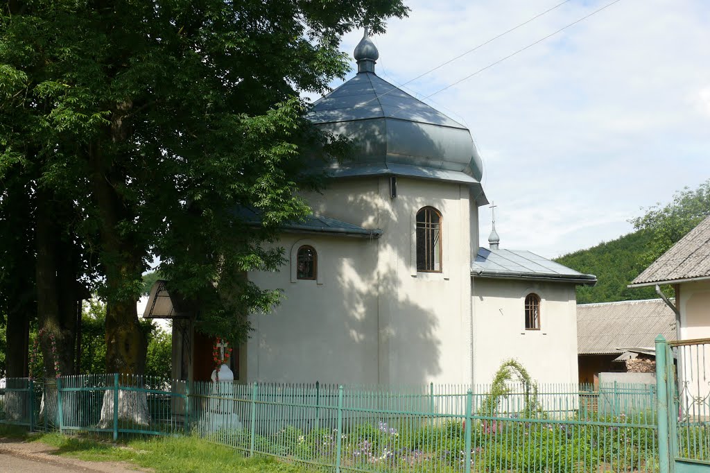
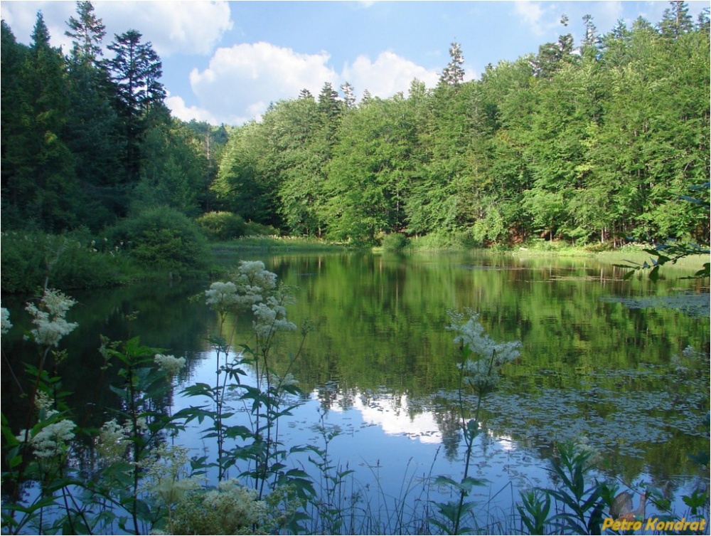
In 2000, the church of St. Peter and Paul was opened by the community. The village has two grocery stores, a wood processing plant, and a sawmill, which is currently experiencing difficult times. There are 44 yards in the village, where 170 people live. The village is surrounded by picturesque mountains. At a distance of 7 kilometers from the village there is a natural monument "Mountain Polyanytske or Dead Lake". From there, on foot or on horseback, you can reach Mount Klyuch, the site of the battle between the Ukrainian Sich Riflemen and units of the Russian army in 1914.

Рекомендуємо відвідати в Bukovets


Маршрути поблизу Bukovets
Які туристичні (пішохідні) маршрути проходять через/біля Bukovets?
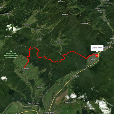
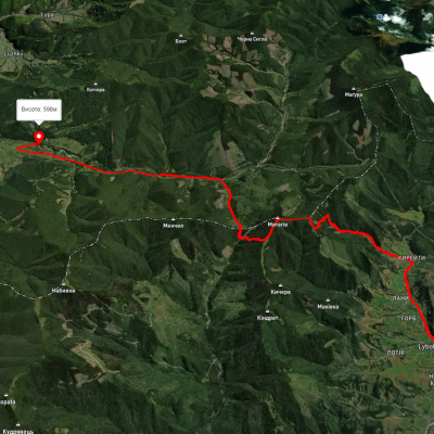
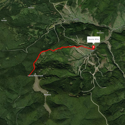
Пропонуємо пройти такі туристичні (пішохідні) маршрути через/біля Bukovets: с. Труханів, через г. Ключ, оз. Журавлине, вдсп. Кам'янка до м. Сколе, с. Либохора, через г. Матагів до с. Козаківка, c. Липа - Яворина - Бункер Роберта, м. Сколе, через г. Лопата, г. Хом, с. Кам'янка, вдсп. Кам'янка, с. Дубина до м. Сколе, с. Дубина, чере вдсп. Кам'янка, г. Лопата, г. Матагів до с. Тухля, м. Сколе, через г. Лопата, вдсп. Кам'янка до с. Дубина