Banyliv-Pidhirnyi
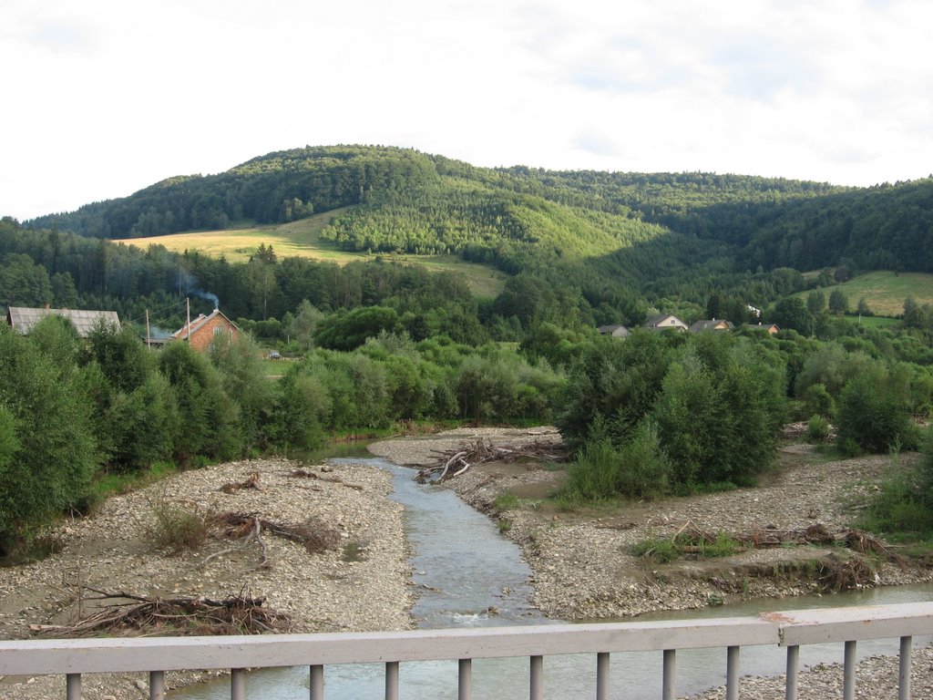
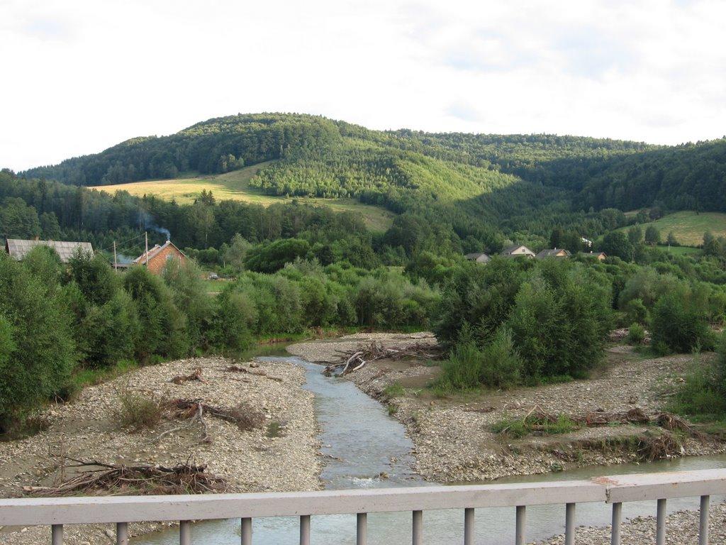
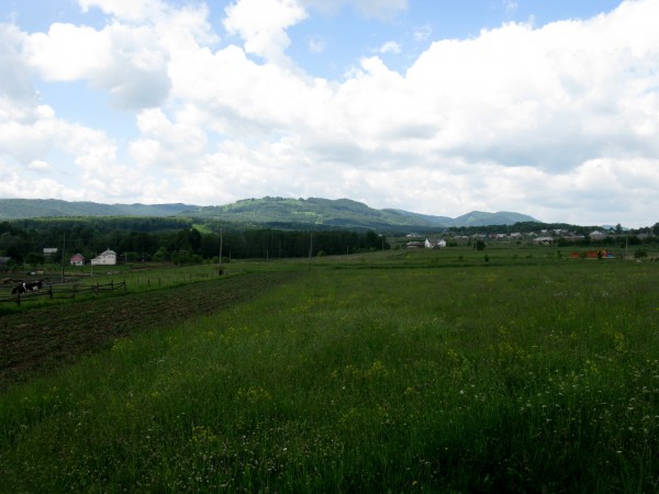
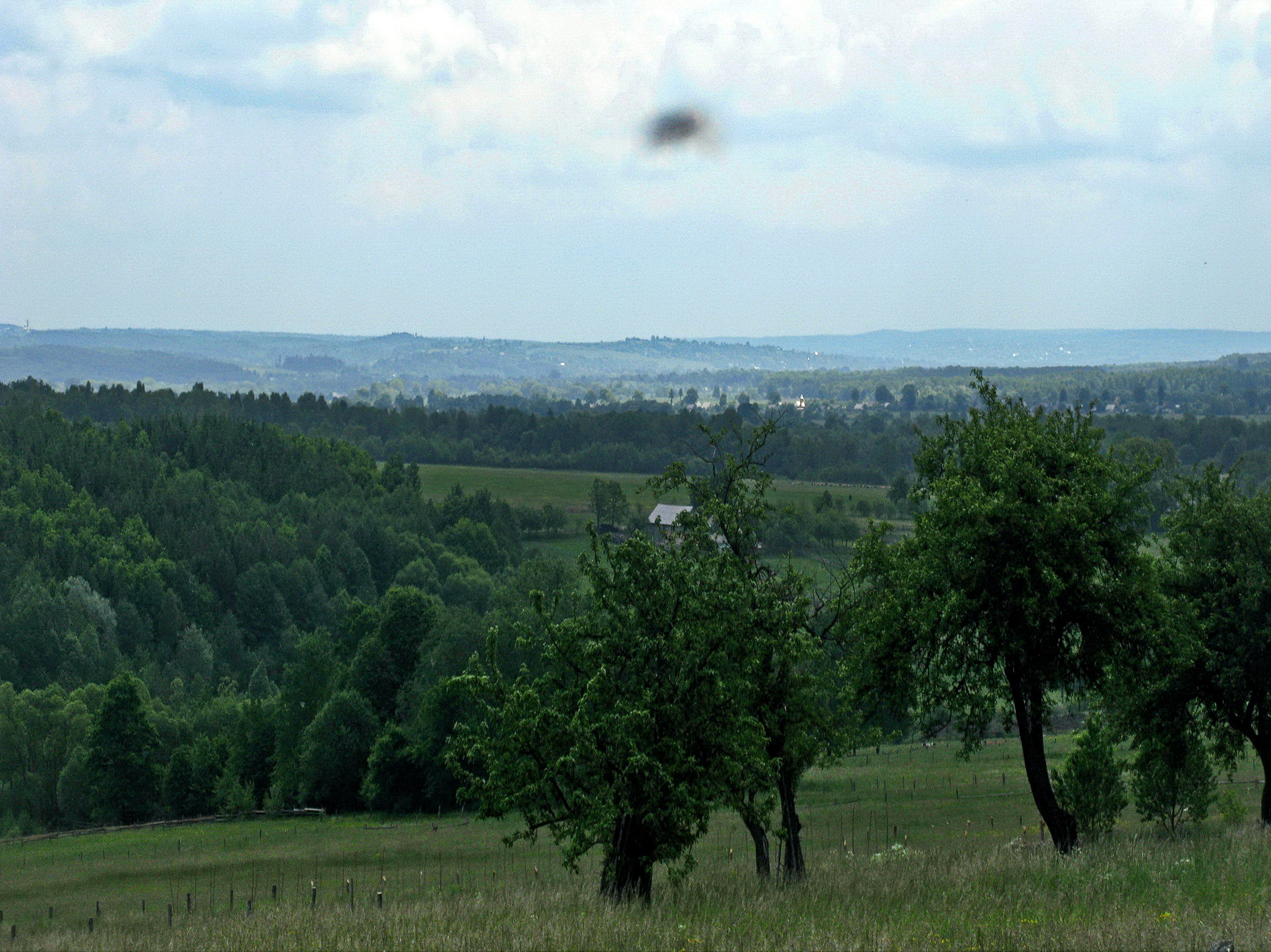
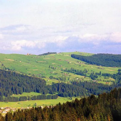
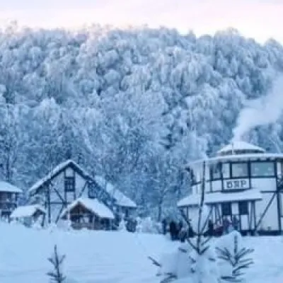
Banyliv-Pidhirnyi is a village in Ukraine, in the Chernivtsi region, Storozhynets district. The village is a real paradise for lovers of mountain nature. It is surrounded on almost all sides by the peaks of the Bukovyna Carpathians: to the west - Velyka Kichera (857 m) and Lyshechyny (878 m), to the southwest - Perekhrest (1013 m), Velyka and Mala Macherky (1027 m and 875 m respectively), Halechky Velyki (1012 m) and Bukova (1080 m), to the south - Rahidna (1028 m) and Paltyn (1097 m), and to the southeast - Volkhovny (817 m). It is not difficult to climb any of these mountains, and from their tops you will see an unforgettable panorama of other mountains of the Bukovynian Carpathians in the south and picturesque Carpathian villages in the north. Almost a Carpathian village, known since 1428. Until 1946, the village was called Banyla nad Seretom, and until 1963 it was simply called Banyliv. Banyliv-Pidhirnyi stretches for many kilometers along the Little Seret and its mountain tributaries.
Banyliv-Pidhirnyi is the easternmost village where Hutsuls live. No wonder they sing in kolomyikas:
Oh, shepherd, goldsmith,
Play the trembita,
Let the world hear about Banyl
All over the world.
The village has a waterfall and healing mineral springs. In recent years, Banyliv-Pidhirnyi has become a significant center of rural "green" tourism. Every year the number of private tourist estates and, accordingly, the number of tourists increases. The huge village consists of several corners, each of which is usually stretched along small streams that carry their water through mountain gorges to the Small Seret. We will get acquainted with only a few of these corners that are of interest to the traveler.
Let's start with the village center. To reach it, you need to take the road with the signs, do not turn anywhere, regardless of the signs. The road leading from Cheresh along Malyi Seret runs almost through the entire village and is its main street. At the beginning of the village, the road is a real nightmare. But closer to the center, everything changes: the road is perfect there. The best road in Bukovyna, I would say. There are speed bumps every 50 meters.
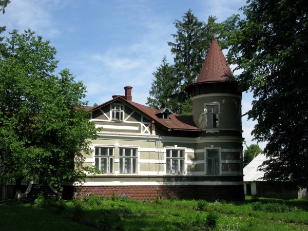
Banyliv is widely spread out on the Carpathian foothills, at the foot of mountains rich in mushrooms and berries. Spruce and beech forests have been preserved in this part of the Carpathians. Since the end of the eighteenth century, Polish settlers have lived here, joined by German colonists in 1830. Several solid brick buildings and villas in the center of Banyliv, as well as the modest palace of the Gross family, are a reminder of those times.
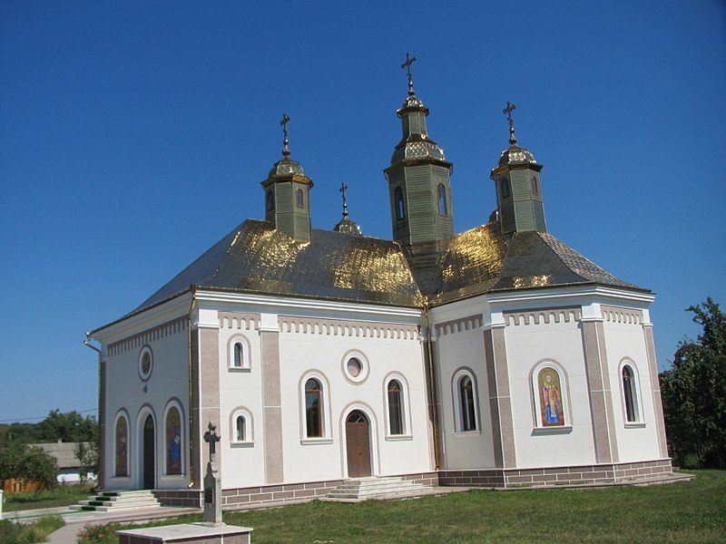
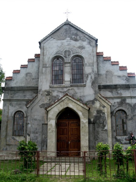
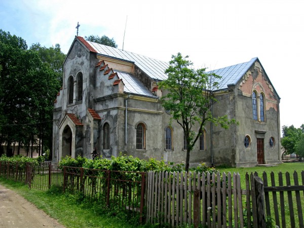
On the outskirts of Banyliv, the cemetery of the German settlement Augustendorf has been preserved to this day. In 1907, a Trinitarian monastery with a brick church of St. Martin was built in Augustendorf on the site of a wooden church (1881). Today, the cells house a children's boarding school and the "Pearl of the Mountains" camp. The church was used for some time as a classroom and gym. In 1993, part of the church was returned to the Catholics of the village.
A 22.5 km branch of the narrow-gauge railway of the Bukovyna Local Railway, opened on October 15, 1908, passed through the village, the village of Hilche. On June 7, 2016, Archbishop Onufriy consecrated the chapel of the Forerunner and Baptist John in the village of Koshuia.
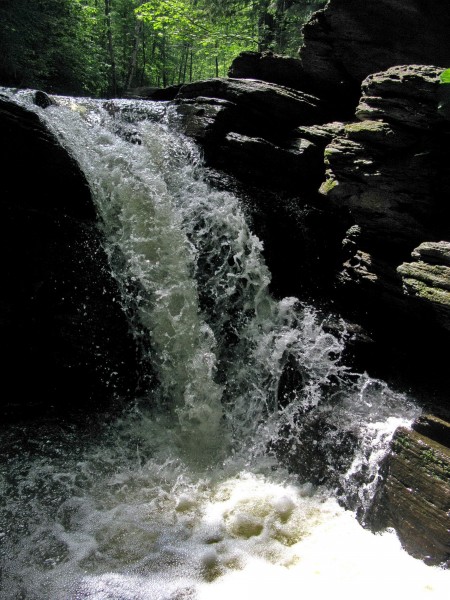
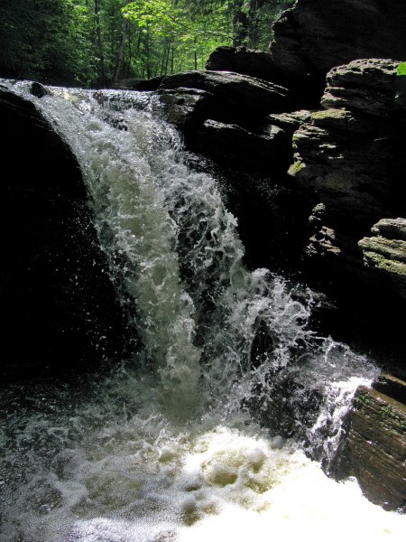
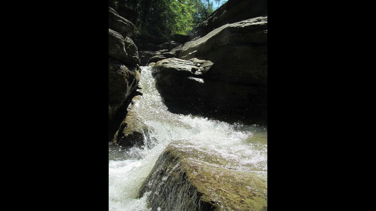
Banylivskyi Park is located in the village, and the Zubrovytsia general zoological reserve is located on the southern outskirts of the village, in the village of Hilche. Approximately 3 kilometers from Hilche, on the slope of Mount Volkhovnya, there is a little-known Korolivskyi waterfall with trout (3 m waterfall, segmented type, in the Hilche tract on the Dumytrytsia River, Malyi Siret River basin). In the village, the Solonets Velykyi river flows into the Malyi Seret.
Every May, just like in Putyla, the shepherds' departure to the meadows is celebrated here. The settlement has sources of chloride mineral waters. The Zubrovytsia tract is home to bison, a rare visitor to the Bukovyna Carpathians. In the Kechera tract, there is a spring whose water is good for psoriasis. The Malyi Solonets river, whose salty water was once used to extract salt, also originates from here. In the meadows above Banylove, wild orchids, European undergrowth, pear tree, and Kalgan grow.
Several radial streets diverge from the main street towards the mountains, leading to the so-called "kuty" - remote parts of the village. The most interesting of these corners is Koshelivka, where you turn right before reaching the center with the church. The village of Koshelivka, located along the Solonets stream, which flows into the Malyi Seret, was once an independent village. The village got its name because people used to weave baskets here, as vines grew on the banks of the Solonets.
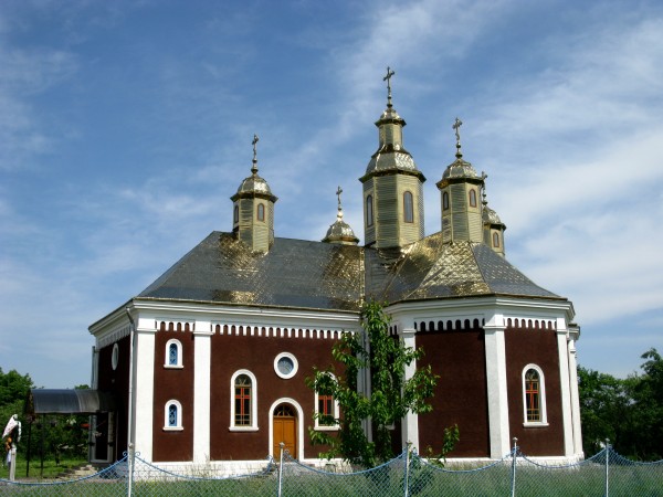
Koshelivka is decorated with the wooden church of St. Dmytro, built in 1875 by craftsmen from Galicia. It was closed by the Bolsheviks in 1978. The school history of the village tells of the miraculous salvation of the church bells by the locals. By order of the then head of the village council, the authorities destroyed the iconostasis and icons. The bells were to be the next to go. Upon learning about this, the brave residents of Koshelivka buried three bells in three different corners of the village, thus saving them from the god-haters. After 8 years, in 1986, the church bells were heard again in Koshelivka.
Відео
Що відвідати
Пам’ятки, музеї та цікаві місця поруч з Banyliv-Pidhirnyi.
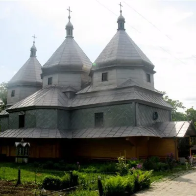 ЦеркваЦерква Іоанна Сучавського, МиговоМигове12 км від центруТакож у селі знаходиться чудовий зразок буковинської дерев'яної архітектури – церква Івана Сучавського.
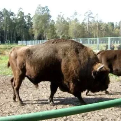 ПриродаЦентр відтворення зубра, БерегометБерегомет15 км від центруНа Буковині відновлюють популяцію зубрів. Еколого-просвітницький та науково-дослідний центр з відтворення популяції зубра діє у смт.
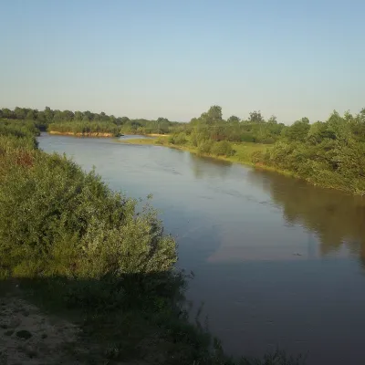 РічкаРічка СіретБерегомет15 км від центруСірет — велика притока Дунаю завдовжки 682 км, але в Україні лежить лише її початок: 123 км течії. Річка бере початок на північних схилах гори Осередок біля Долішнього...
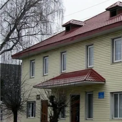 МузейІсторичний музей, БерегометБерегомет15 км від центруІсторичний музей у Берегометі один з наймолодших на Буковині. Однак за свою коротку історію вже встиг стати культурним центром селища.
 ПриродаНаціональний природний парк "Вижницький" БерегометБерегомет16 км від центруНаціональний природний парк "Вижницький" створений 30 серпня 1995 року (Офіс парку: Чернівецька область, Вижницький район, смт.
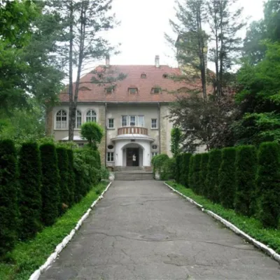 Цікаве місцеСторожинецький дендропарк і садиба Оренштайна Сторожинець16 км від центруСторожинецький дендропарк - найбільший парк Чернівецької області, включений до списку пам`яток природи національного значення.
Крафт поруч
Усі крафтові місця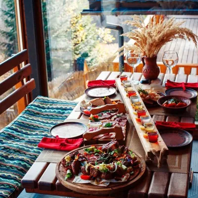 Колиби й гуцульська кухняКолиба комплексу «Карпати», МиговеМигове13 км від центруКолиба в Миговому — ресторан котеджного комплексу «Карпати» на головній вулиці буковинського гірськолижного курорту Мигове, у Вижницькому районі.
 ЕкофермиРавликова ферма «Прикарпатський равлик», БагнаБагна28 км від центруРавликова ферма «Прикарпатський равлик» — одне з небагатьох гастрономічних господарств Вижниччини, куди можна приїхати не лише по продукцію, а й на екскурсію.
 Ринки й ярмаркиНічний базар деревини, КутиКути29 км від центруНічний базар у Кутах — найколоритніший ринок дерев'яних виробів на Гуцульщині, який зникає разом зі світанком.
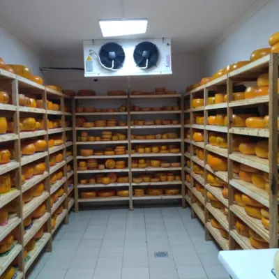 Сироварні та полониниСироварня «Добрі Ґазди», МихайлівкаТарашани34 км від центруСироварня «Добрі Ґазди» у селі Михайлівка — один із найвідоміших гастрономічних об’єктів Буковини і хороший приклад того, як громада може дати нове життя селу.
 ЕкофермиФерма «Буковинський равлик», Стрілецький КутМамаївці37 км від центру«Буковинський равлик» — сімейна равликова ферма в селі Стрілецький Кут, лише за 10 км від центру Чернівців.
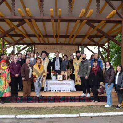 Ремесла й майстер-класиМайстер-класи народних ремесел у Буковинському центрі культури і мистецтва, ЧернівціЧернівці37 км від центруБуковинський центр культури і мистецтва — головний осередок народної творчості Чернівецької області. Він розташований на горі Домінік у районі Клокучка, на вулиці...
Де зупинитися
Готелі, садиби й котеджі в Banyliv-Pidhirnyi та околицях.
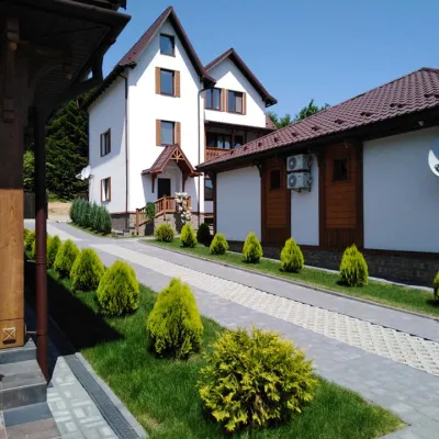 ГотельРекомендуємоГотельний комплекс "Ворота в Карпати" Мигове (басейн+сауна+хамам)Мигове11 км від центруБасейнСаунаКамінПоруч: церква Іоанна Сучавського 3,0 кмЦентр відтворення зубра 3,9 км3 маршрути
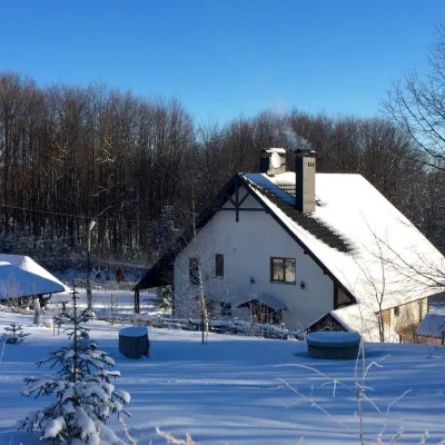 КотеджКотеджі "Долина Миколая" Мигово (басейн, сауна, риболовля)Мигове8,1 км від центруБасейнСаунаКамінПоруч: церква Іоанна Сучавського 5,7 кмЦентр відтворення зубра 6,7 км
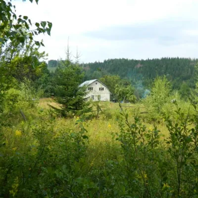 СадибаЕкоферма БуковаБанилів-Підгірний9,6 км від центруБюджетний відпочинок в Буковинських Карпатах з повагою до Природи. Екоферма Букова пропонує затишний відпочинок на хуторі Кошуя , Чернівецька область в агрооселі: 4...
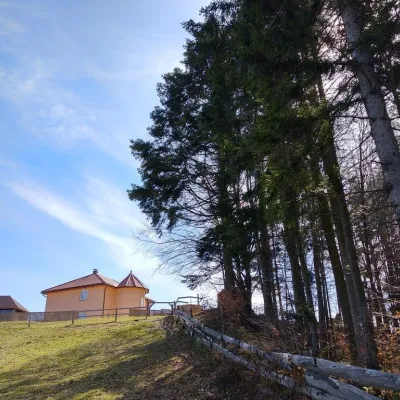 СадибаCадиба "Валерія" ВовчинецьВовчинець9,3 км від центруЧанБасейнСаунаПоруч: Центр відтворення зубра 5,8 кмІсторичний музей 5,8 км
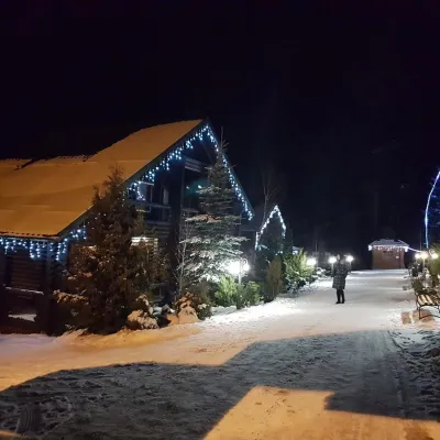 ГотельГотель "Гостинний двір" Мигове (басейн, сауна)Мигове11 км від центруБасейнСаунаSPAПоруч: церква Іоанна Сучавського 3,1 кмЦентр відтворення зубра 3,9 км3 маршрути
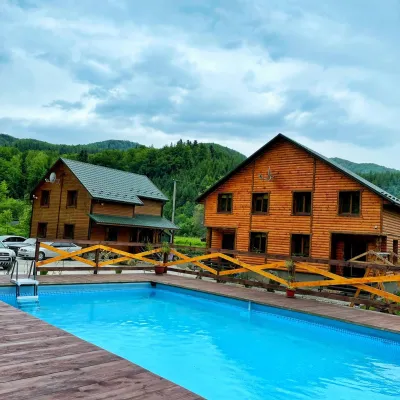 КотеджВілла "На узліссі" МиговоМигове11 км від центруСаунаSPAМангалПоруч: церква Іоанна Сучавського 2,8 кмЦентр відтворення зубра 3,8 км3 маршрути
Маршрути поруч
Всі маршрути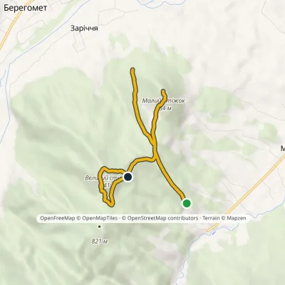 ЛегкийОдноденнийМаркованийЕкологічна стежка «До Вартових Недеї»Профіль висоти576–863 м5,4 кмнабір 428 м≈ 2 год ходу13 км від центру
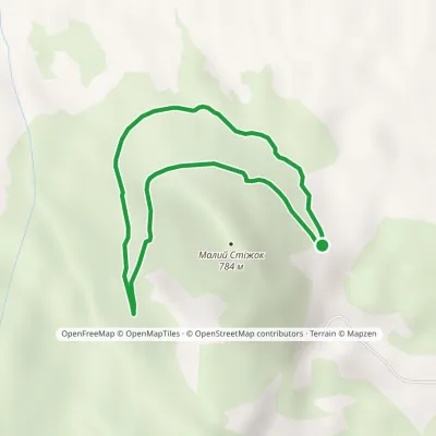 ЛегкийОдноденнийМаркованийСтежка «Шляхами графа Василька»Профіль висоти557–672 м3,3 кмнабір 94 м≈ 1 год ходу14 км від центру
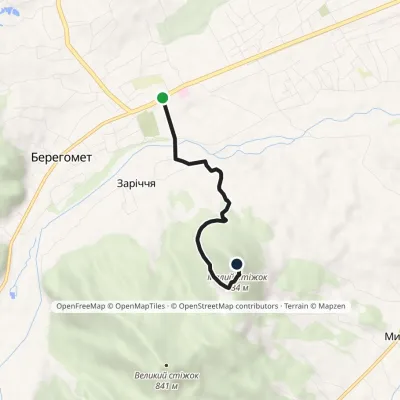 ЛегкийОдноденнийМаркованийЕкологічна стежка «Стіжок»Профіль висоти464–795 м3,5 кмнабір 317 м≈ 1,5 год ходу14 км від центру
Вершини поруч
Всі вершини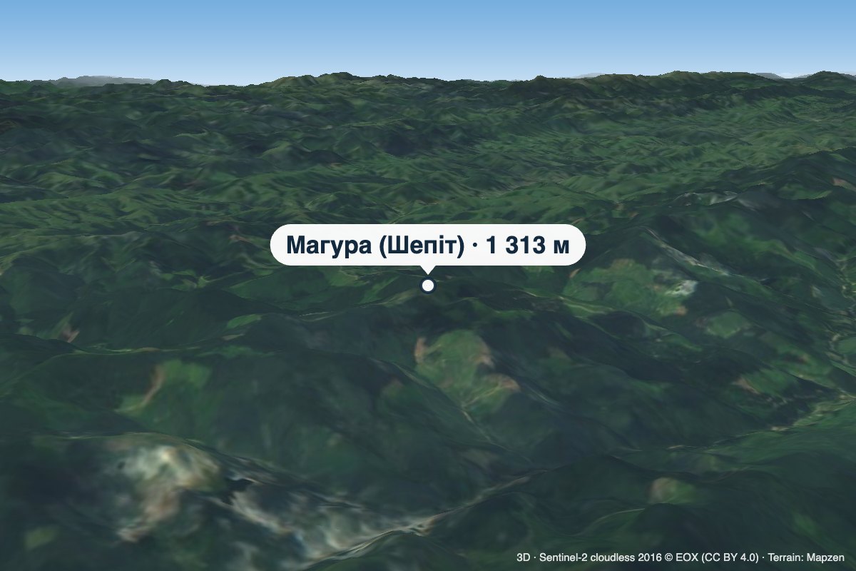 ВершинаГора Магура (Шепіт)Долішній Шепітвисота 1 313 м · масив Покутсько-Буковинські Карпати24 км від центруМагура — гора заввишки 1313 м у Покутсько-Буковинських Карпатах, на хребті Довгий Грунь. Вона розташована у Вижницькому районі Чернівецької області, на південь від...
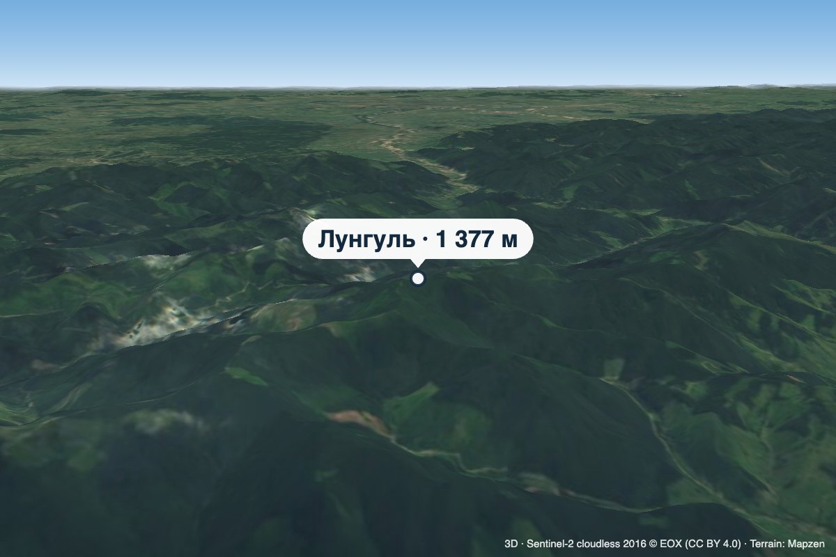 ВершинаГора ЛунгульРуськависота 1 377 м24 км від центруЛунгуль (або Лунгул) — вершина заввишки 1377 м (точніше — 1377,4 м) у Покутсько-Буковинських Карпатах.
 ВершинаГора ЦециноЧернівцівисота 537 м32 км від центруЦецино — найвища гора Чернівецької височини заввишки 537 м (за іншими даними — 538 м). Вона розташована на західній околиці Чернівців, поблизу місцевості Роша, і дала...
