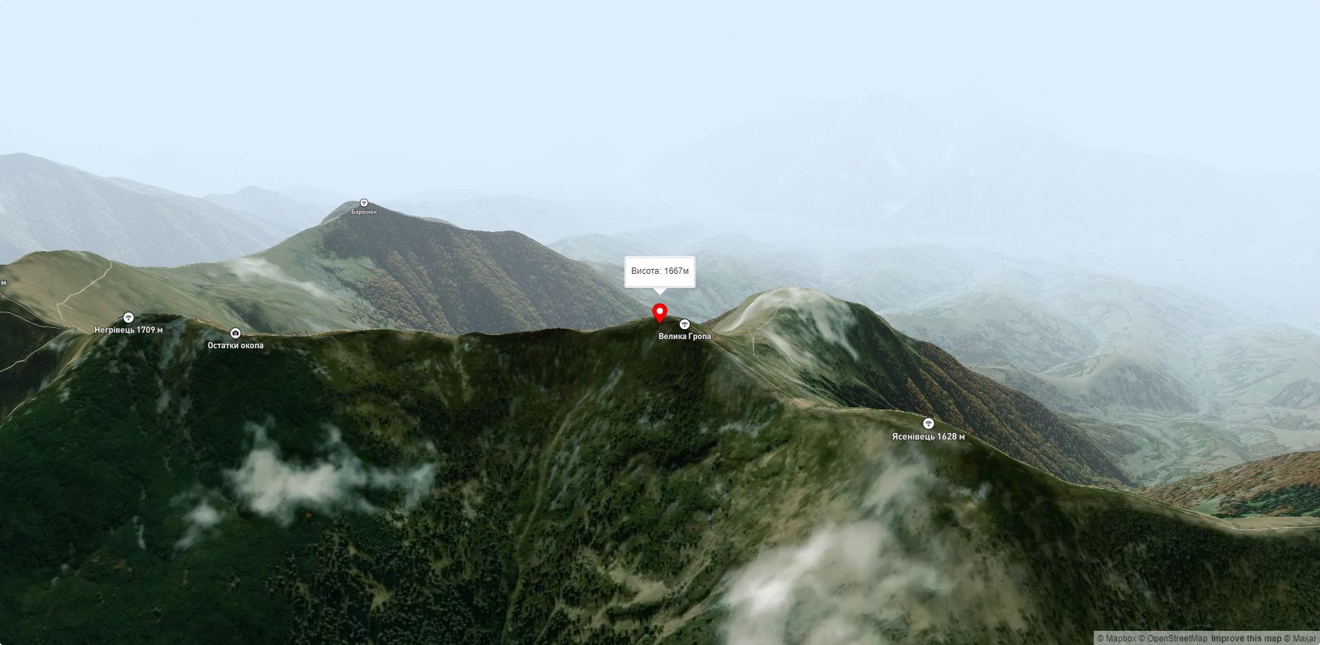
Mount Velyka Gropa
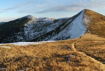
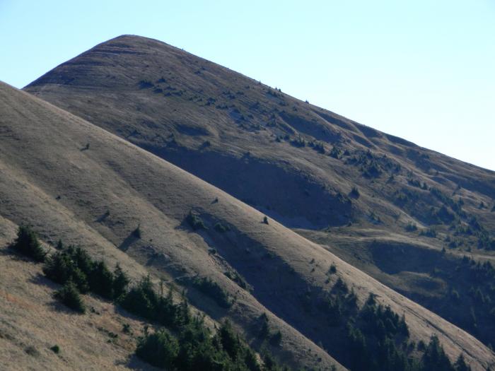
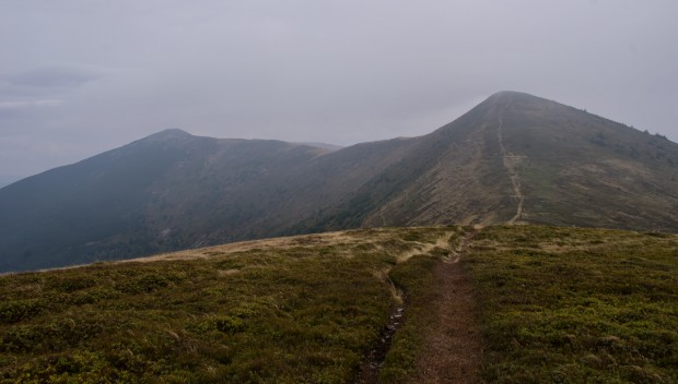
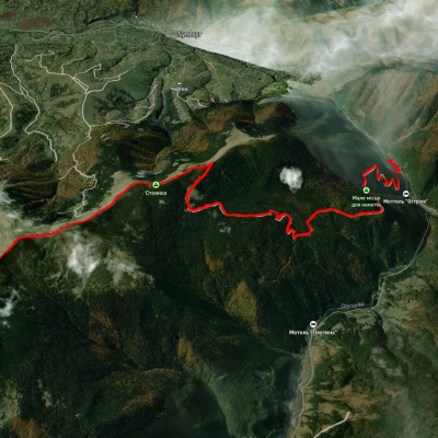
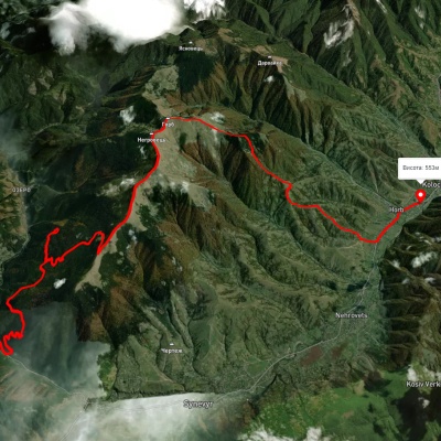
Today we will move to the Mizhhirya region, namely to the Pishkonya massif, where the Velyka Gropa mountain rises. If you climb the ridge from the village of Synevyr, you will be greeted at the beginning of the massif by the eponymous Pishkonya mountain. On the second top of the ridge there is a cross (Mala Gropa, 1556 meters). Our next mountain, marked on the maps as Yasynovets, is even higher - 1626 meters. We climb it without any difficulties. We also overcome the Big Grove (1676 meters) relatively easily, and in another half an hour we reach the highest peak of the ridge - Mount Negrovets (1707 meters).
Routes here: Southern Gorgany. Negrovets, Gropa, etc.
Nearest settlements: Synevyr (2.2 km), Horb (4.2 km), Negrovets (5.3 km).
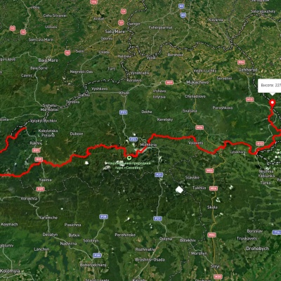
Mizhhiria can be reached from Volovets. Trains and buses from Lviv, Uzhhorod, and Ivano-Frankivsk stop here. The international highway Kyiv - Chop runs 11 kilometers from Volovets through the village of Nyzhni Vorota. Mizhhiria can also be reached from the city of Khust. The best way to climb the massif is from the village of Synevyr (along the way, visit the Kamianets Waterfall and the so-called Sea Eye) or from Kolochava, where there are many interesting museums (including the narrow-gauge railway and the Old Village Museum) and monuments. These villages are quite easy to reach from Mizhhiria by public transport or by car.
Accommodation around Mount Velyka Gropa:


Nearby hiking trails near Mount Velyka Gropa:
Які маршрути проходять повз Mount Velyka Gropa?
Пропонуємо пройти такі туристичні (пішохідні) маршрути через/біля Mount Velyka Gropa: Закарпатський туристичний шлях, с. Синевир – г. Негровець, с. Синевир, через г. Негровець до с. Колочава, с. Синевир, через г. Негровець, с. Мерешор, хр. Красна, с. Усть Чорна, хр. Свидовець до с. Кваси, г. Негровець – с. Синевир, с. Колочава, через г. Дарвайка, г. Негровець до с. Колочава