National Nature Park "Cheremoshsky" Putyla
The National Nature Park (NNP) "Cheremoshsky" was established on November 25, 2011 (Park Office: Chernivtsi Oblast, town of Putyla, Ukrainian St., 174a. Working hours: 8:00-17:00, Sat and Sun - closed). Its area is 7117.5 hectares. The park encompasses the territory of the Chivchino-Marmarosh massif — the ridges of Chornyi Dil and Zhupany. It includes state nature reserves "Chornyi Dil", "Molochno-Bratsky Karst Massif" and the regional landscape park "Cheremoshsky". In addition, the adjacent areas host the NNP "Verkhovynsky" (Ivano-Frankivsk region) and the natural reserve "Marmarosh Mountains" (Romania).
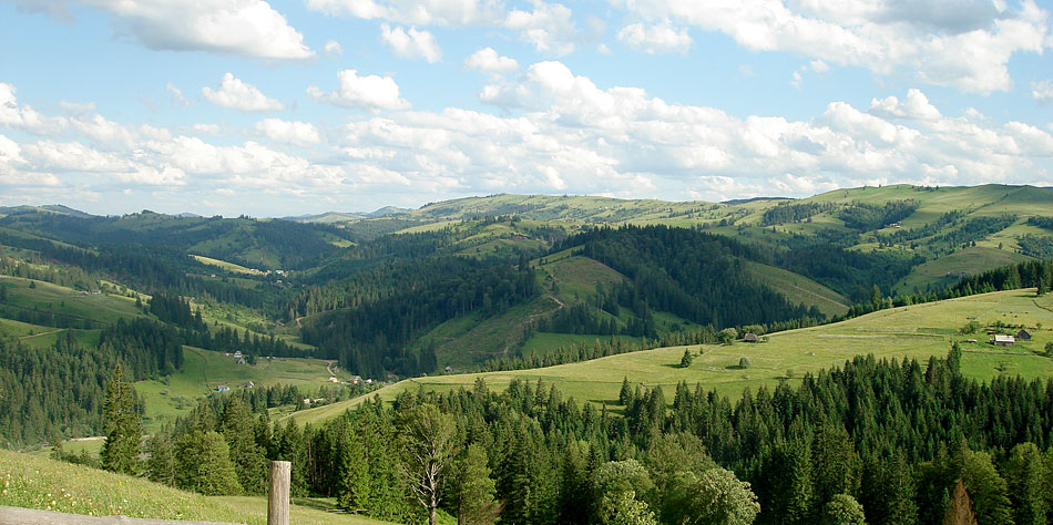
The main elements of the relief of the lands included in the NNP "Cheremoshsky" are the submeridional ridges of Yarovitsya-Tomnatik with an absolute height of 1574 m above sea level (mount Yarovitsya) and Chornyi Dil - Zhupany (the highest point - 1480 m above sea level), which separate deep valleys of the rivers Perkalab and Sarata with their numerous tributaries. The lowest point of the national park is at the confluence of the two mentioned rivers and the formation of the White Cheremosh - 947 m above sea level, indicating the mid-mountain nature of the relief. The NNP "Cheremoshsky" is located at elevations ranging from 947 to 1574 m above sea level.
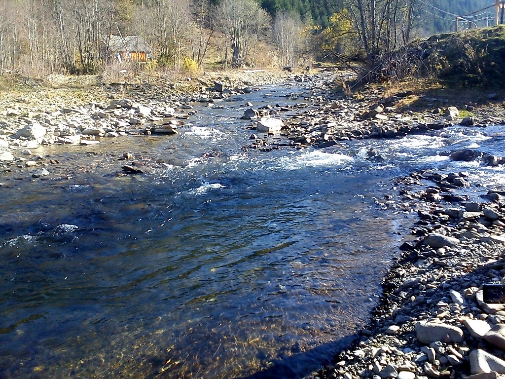
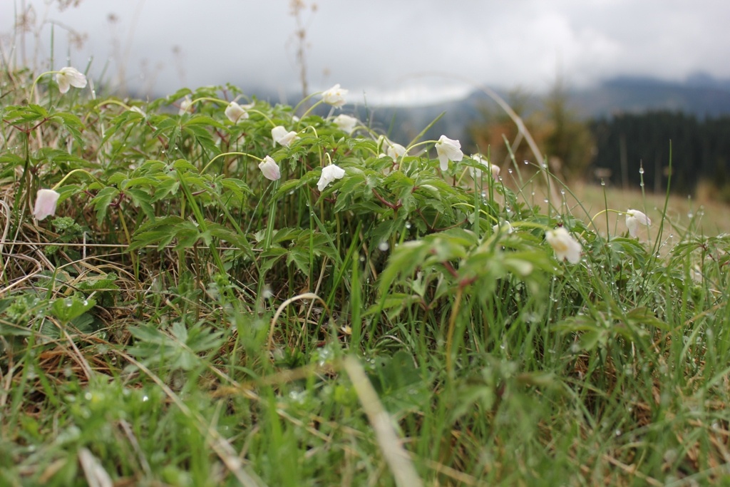
A feature of the park's territory is its physical-geographical location - in areas with wild nature and a specific climate, within the forest belt of the Carpathians. Here, pure forests of European spruce prevail, which belong to the group of mountain dark-coniferous forests. Beech and white fir occur as admixtures in the composition of spruce stands. The most valuable are fragments of cedar-spruce forests found on mount Great Stone of the Chornyi Dil ridge. The cedar pine is listed in the Red Book of Ukraine. In total, 49 species of vascular plants listed in the Red Book of Ukraine grow in the territory of the national park, including Saussurea discolor, Crepis jacquinii, Gentiana utriculosa, which are known only in the territory of the NNP "Cheremoshsky". Five species of plants are listed in the European Red List: Pulmonaria filarskyi, Festuca remanii, Primula carpathica, Gentiana asclepiadea, and Elizanta zavadskii, which is also included in the Red Book of IUCN.
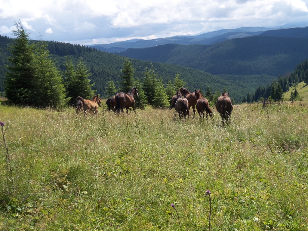
The park has a rich and diverse fauna. There are at least 5,000 species of invertebrates and 147 species of vertebrates. Among them, 34 representatives are listed in the Red Book of Ukraine (common carp, Carpathian, alpine; newts, spotted salamander, black stork, little bittern, brown bear, etc.). Nineteen species of animals are listed in the Red Book of Bukovina, five in the IUCN Red List (alpine newt, river otter, corncrake, Danube salmon, medicinal leech), and five in the European Red List (Ukrainian lamprey, alpine newt, river otter, Danube salmon, medicinal leech).
The park zone includes approximately 12 species of fish, 6 amphibians, 6 reptiles, 93 birds, and 29 mammals. More than half of the vertebrate representatives of the Bukovinian Carpathians live in the territory of "Cheremoshsky".
- Preservation and reproduction of valuable natural and historical-cultural complexes and natural objects on its territory;
- Creating conditions for organized tourism, recreation, and other types of recreational activities in natural conditions while adhering to the protection regime of reserved complexes and objects;
- Organization and implementation of scientific research, including the study of natural complexes and their changes under recreational use conditions, development and implementation of scientific recommendations on environmental protection, reproduction of certain species of flora and fauna, restoration of disturbed ecosystems, management and effective use of natural resources, organization and monitoring of landscape and biological diversity;
- Revival of local traditions of natural resource use, centers of local crafts, and other types of folk art;
- Conducting ecological educational and outreach work, etc.
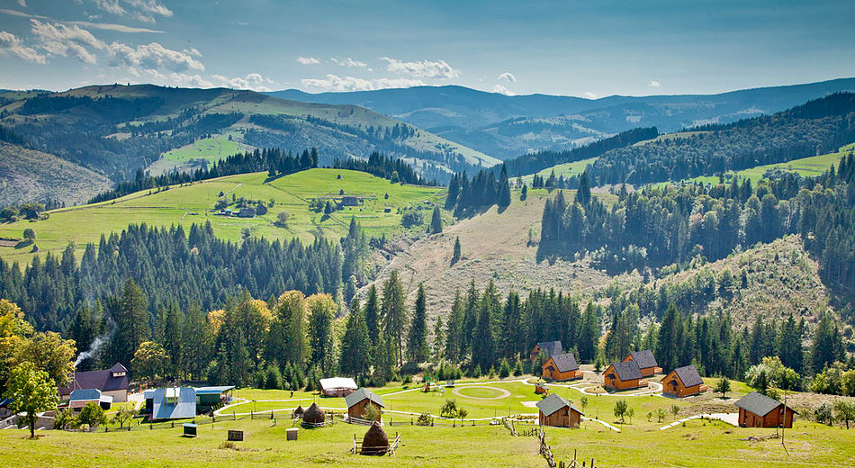
The park's territory attracts visitors not only with its nature but also with historical and architectural monuments, folk crafts (pottery), and places of life and activity of prominent individuals. Green tourism is beginning to actively develop in the park.
- Excursions along marked routes, ecological paths: for adults - 70 UAH, for children under 14 years - 36 UAH.
- Walking (bicycle trip): day - 300 UAH, half a day (up to 5 hours) - 180 UAH, 2 hours - 120 UAH, 1 hour - 60 UAH.
- Parking for vehicles is paid: Buses and trucks - 90 UAH, Cars - 60 UAH, Motor vehicles - 36 UAH.
- Short-term rest on the territory of the NNP "Cheremoshsky": For adults - 24 UAH, For children under 14 years - 12 UAH.
- Use of the gazebo - 60 UAH.
- Amateur photo-video shooting by citizens - 30 UAH.
- Video, film, and television shooting by citizens and organizations - 120 UAH.
The best nature conservation objects of the NNP "Cheremoshsky"
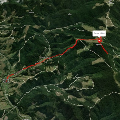
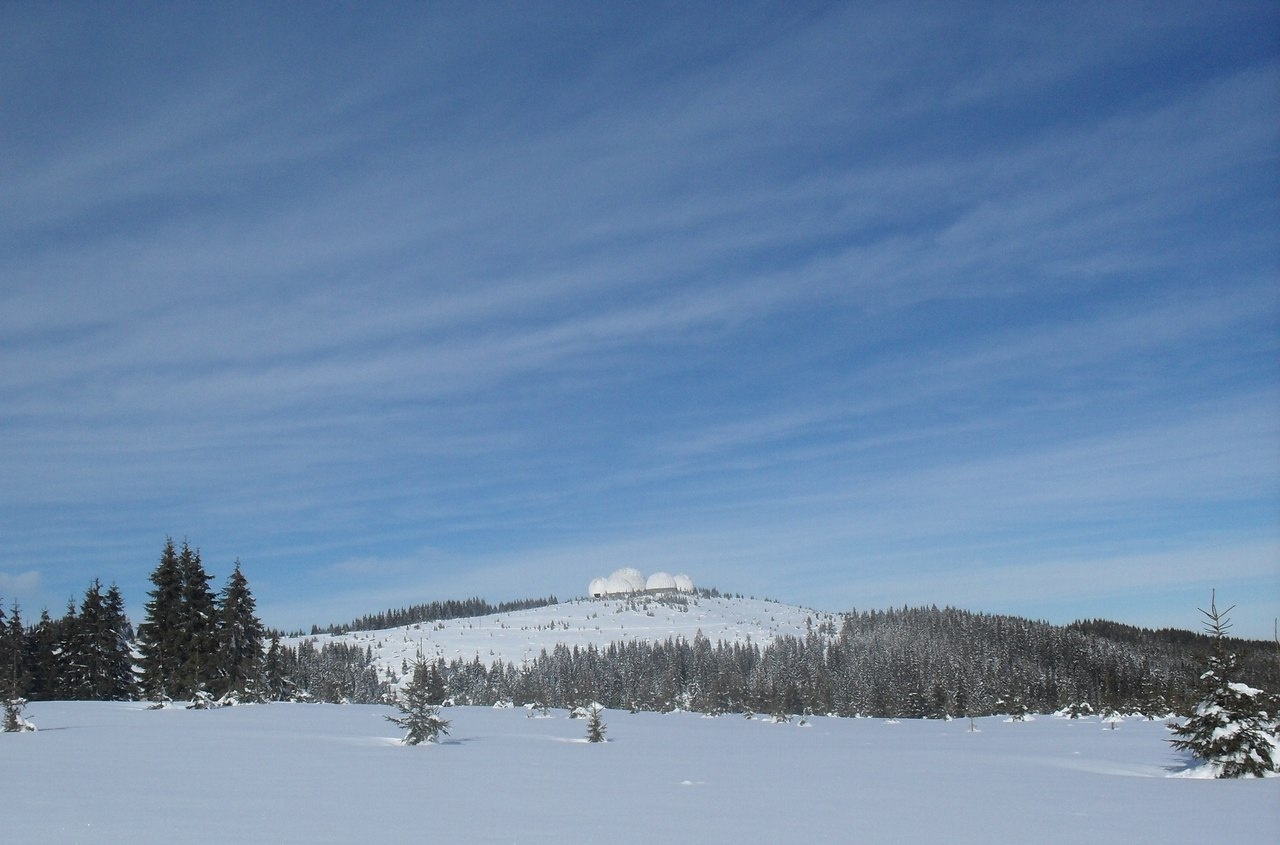
1. The highest peak of the Bukovinian Carpathians - mount Yarovitsya with a height of 1574.4 m.
2. The highest sanctuary of the Bukovinian region – the chapel of Saint Great Martyr Eustathius Plakida, the protector and guardian of the animal world, located at an altitude of 1340 m above sea level on mount Tomnatik.
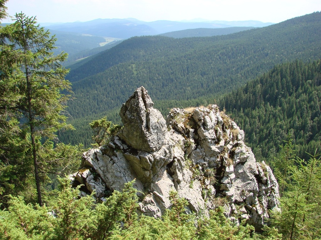
3. The highest peak of the state nature reserve "Chornyi Dil" - mount Great Stone (1454 m above sea level), which is one of the richest in terms of rare and endemic plant species in the Ukrainian Carpathians. Here, 28 species of vascular plants listed in the Red Book of Ukraine and over 30 endemic species have been discovered.
4. The rarest species of flora in Ukraine - Saussurea discolor (Willd.) DC., Crepis jacquinii Tausch, and Gentiana utriculosa L. – species listed in the Red Book of Ukraine, whose habitats are unique in Ukraine and known only from the territory of the NNP "Cheremoshsky" on the summit of mount Great Stone.
5. The extremely rare orchid of the world flora is Nigritella carpatica (Zapał.) Teppner, Klein et Zagulski, whose habitat is known from the Yarovitsky ridge – mount Mlakovata.
6. The deepest vertical shaft in Bukovina – "Molochni Brattya" with tectonic-karst cavities (37 m), located within the karst-speleo reserve "Molochno-Bratsky Karst Massif" on the Chornyi Dil ridge in the NNP "Cheremoshsky".
7. The most valuable in terms of zoology in the territory of the national park and the Putyl district are fragments of absolutely indigenous groups of cedar-spruce forests (Pineto (cembrae) - Piceetum (abietis) vaccinioso (mvrtilli) - hvlocomiosum), which grow on carbonate rocky outcrops of the Chornyi Dil ridge.
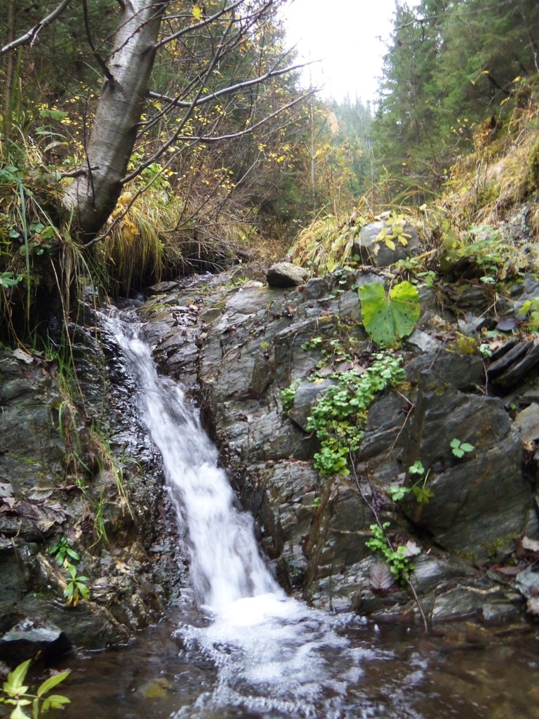
8. The rarest insectivorous plant in the Bukovinian Carpathians is the alpine butterwort (Pinguicula alpina L.), whose only known habitat is within the complex natural monument "White Stream" in the territory of the NNP "Cheremoshsky".
9. The most valuable, unique habitat in the Ukrainian Carpathians of the red-listed species - the Siberian (Bukovinian) ligularia (Ligularia sibirica Cass.) is known from the territory of the NNP "Cheremoshsky" - within the complex natural monument "White Stream".
10. The highest flowering plant of the Bukovinian Carpathians - edelweiss (Leontopodium alpinum Cass.) This love flower grows at an altitude of 1445 m above sea level on the summit of mount Great Stone. This place, attractive to tourists, is located in the territory of the NNP "Cheremoshsky" and is called "The Summit of Edelweiss".
11. The most picturesque flower valley in the Bukovinian Carpathians – "The Valley of Gladiolus", located in the territory of the NNP "Cheremoshsky" on the outskirts of the village of Sarata, where in summer one can observe the mass blooming of wild gladiolus - a red-listed species - Gladiolus imbricatus L.
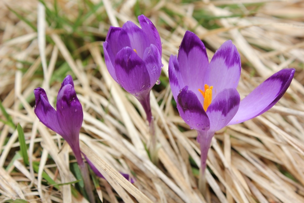
12. The most blooming "Valley of Crocuses" - on the ridges of Yarovitsya, Zhupany one can observe the picturesque blooming of Crocus heuffelianus Herb.
13. The oldest dam, a monument of Hutsul architecture – Klyauza of Cornprince Rudolf built in 1879 on the river Perkalab.
14. The most valuable medicinal plants that grow in the meadow grasslands of the national park are mountain arnica (Arnica montana L.), broad-leaved snake-root (Laserpitium latifolium L.), upright buttercup (Potentilla erecta (L.) Raeusch), and yellow gentian (Gentiana lutea L.), which are often used by the Hutsuls in folk medicine.
15. The rarest predators in Europe - the European lynx (Lynx lynx Linnaeus, 1758) and the brown bear (Ursus arctos Linnaeus, 1758), which are listed in the Red Book of Ukraine, are protected by the International Union for Conservation of Nature (IUCN) and are widespread in the forest massifs of the NNP "Cheremoshsky".
The main goal - to preserve this unique nature of the Carpathian mountains, a national treasure, a standard of untouched beauty. Let us remember! The civic duty of each of us is to preserve the rainbow diversity and the green robes of ancient forests and pass on to future generations all the gifts of the spruce cradle of our native land.
The NNP "Cheremoshsky" always warmly welcomes guests of the region, tourists, enchanting them with its unexplored beauty, filling their hearts with romance, healing the soul. And all this divine grace inspires to live, do good, and happiness in every heart, in the family, in Ukraine! May our generous hospitality and kindness of the Hutsul people live and prosper, the Putyl region - a magical cradle of the Carpathian mountains, where the mother's song resonates melodiously and where one always wants to return...

Accommodation around National Nature Park "Cheremoshsky" Putyla:


Which trails pass by National Nature Park "Cheremoshsky" Putyla?
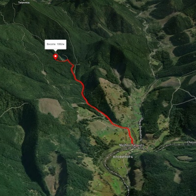
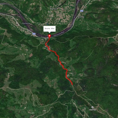
We suggest these hiking trails through or near National Nature Park "Cheremoshsky" Putyla: Bukovynske Oko, Smuharski Waterfalls, Verkhnii Yalovets village – Mount Yarovytsia, Nyzhnii Yalovets village – Yarovytsia ridge, Verkhnii Yalovets village – Mount Yarovytsia, Nimchych Pass – Protiate Kaminnia


Bukovynske Oko
Smuharski Waterfalls
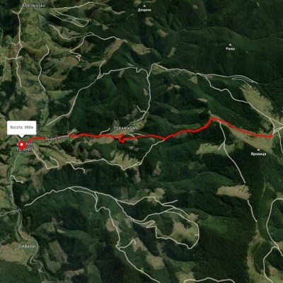
Verkhnii Yalovets village – Mount Yarovytsia
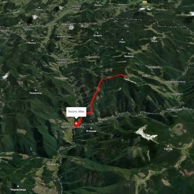
Nyzhnii Yalovets village – Yarovytsia ridge