Hiking routes
Found 435 options
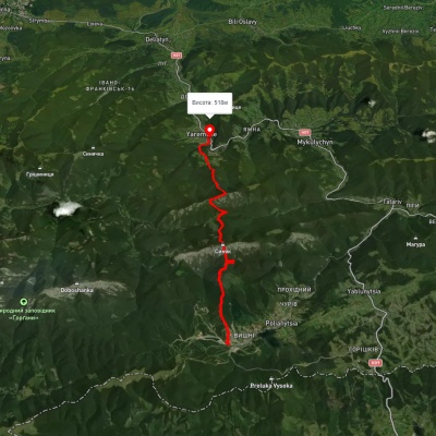
Polianytsia village, via Mount Syniak and Mount Yavirnyk to Yaremche
Two-day routes
Unmarked
Passes through peaks: Mount Sinyak
3D map
85 views
Length: 21.2km
Total ascent: 1353m
Total descent: 1657m
Minimum altitude: 526m
Maximum altitude: 1653m
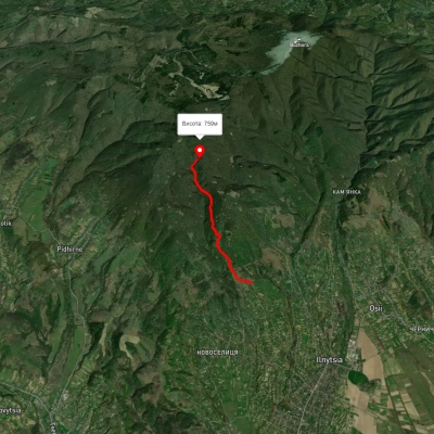
3D map
89 views
Length: 4.6km
Total ascent: 559m
Total descent: 107m
Minimum altitude: 331m
Maximum altitude: 783m
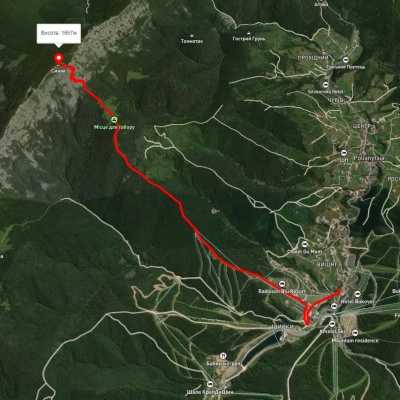
3D map
75 views
Length: 6.4km
Total ascent: 897m
Total descent: 123m
Minimum altitude: 883m
Maximum altitude: 1659m
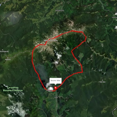
Luhy village, via Mount Pip Ivan Chornohirskyi, Mount Dzembronia, Mount Brebeneskul and Lake Nesamovyte to Hoverla village
Ring routes
Unmarked
3D map
71 view
Length: 38.9km
Total ascent: 1503m
Total descent: 1503m
Minimum altitude: 651m
Maximum altitude: 2019m
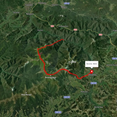
1662 km railway halt, via Mount Stiy and Mount Velykyi Verkh to Volovets
Two-day routes
Unmarked
Passes through peaks: Mount Stii, Mount Veliky Verkh
3D map
87 views
Length: 23.5km
Total ascent: 1479m
Total descent: 1366m
Minimum altitude: 378m
Maximum altitude: 1646m
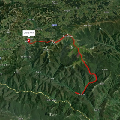
Volovets, via Mount Plai, Mount Velykyi Verkh, Mount Stiy and Mount Zeneva to Vovchyi village
Three days or more
Unmarked
Passes through peaks: Mount Stii, Mount Veliky Verkh
3D map
73 views
Length: 26.6km
Total ascent: 1663m
Total descent: 1470m
Minimum altitude: 282m
Maximum altitude: 1659m
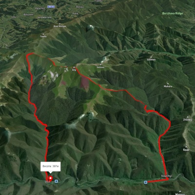
Vovchyi village, via Mount Stiy, the Mount Velykyi Verkh traverse and along the Osa river to the railway station
Three days or more
Unmarked
3D map
91 view
Length: 29km
Total ascent: 1906m
Total descent: 1836m
Minimum altitude: 289m
Maximum altitude: 1679m
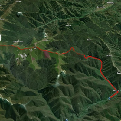
Vovchyi village, via Mount Stiy to Mount Velykyi Verkh
Two-day routes
Unmarked
Passes through peaks: Mount Stii, Mount Veliky Verkh
3D map
85 views
Length: 19.8km
Total ascent: 1534m
Total descent: 249m
Minimum altitude: 295m
Maximum altitude: 1671m
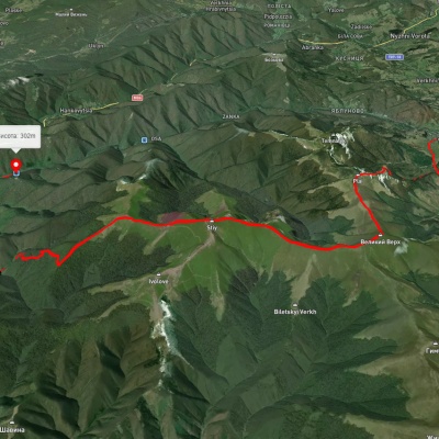
Volovets, via Mount Velykyi Verkh and Mount Stiy to Vovchyi village
Three days or more
Unmarked
Passes through peaks: Mount Veliky Verkh, Mount Stii
3D map
96 views
Length: 29.5km
Total ascent: 1569m
Total descent: 1744m
Minimum altitude: 290m
Maximum altitude: 1657m
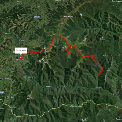
Vovchyi village, via Mount Stiy and Mount Velykyi Verkh to Volovets
Three days or more
Unmarked
Passes through peaks: Mount Stii, Mount Veliky Verkh
3D map
80 views
Length: 29.9km
Total ascent: 2169m
Total descent: 2012m
Minimum altitude: 331m
Maximum altitude: 1635m
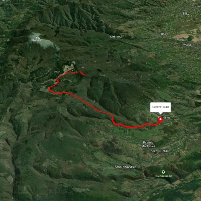
3D map
91 view
Length: 10.8km
Total ascent: 287m
Total descent: 853m
Minimum altitude: 341m
Maximum altitude: 919m
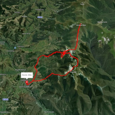
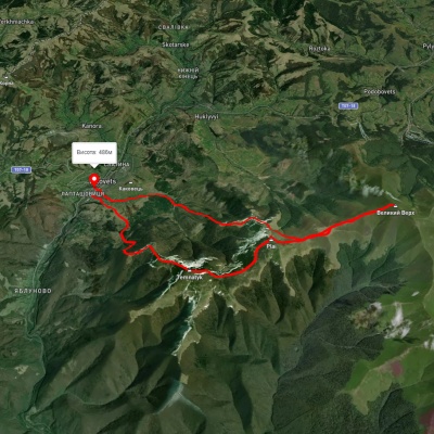
Volovets village – Mount Velykyi Verkh – Volovets village
Ring routes
Unmarked
Passes through peaks: Mount Veliky Verkh
3D map
79 views
Length: 35.8km
Total ascent: 1704m
Total descent: 1580m
Minimum altitude: 373m
Maximum altitude: 1598m
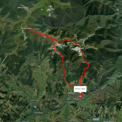
Volovets – Mount Velykyi Verkh – Volovets
Ring routes
Unmarked
Passes through peaks: Mount Veliky Verkh
3D map
93 views
Length: 22km
Total ascent: 1362m
Total descent: 1367m
Minimum altitude: 486m
Maximum altitude: 1591m
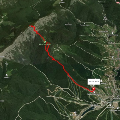
Volovets village – Mount Velykyi Verkh – Volovets village
Ring routes
Unmarked
Passes through peaks: Mount Veliky Verkh
3D map
81 view
Length: 21.5km
Total ascent: 1370m
Total descent: 1376m
Minimum altitude: 486m
Maximum altitude: 1593m
Polianytsia village – Mount Syniak – Polianytsia village
Ring routes
Unmarked
Passes through peaks: Mount Sinyak
3D map
98 views
Length: 11.9km
Total ascent: 837m
Total descent: 831m
Minimum altitude: 969m
Maximum altitude: 1667m

Carpathian GuideOnline