Hiking routes
Found 483 options
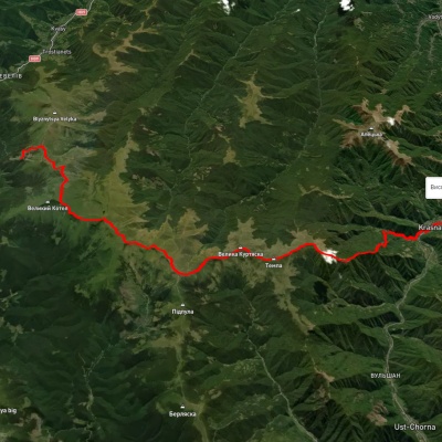
Dragobrat, via Mount Stih, Mount Velykyi Kotel, Mount Unhariaska and Mount Tempa to Krasna village
Three days or more
Unmarked
Passes through peaks: Mount Stig (Dragobrat), Mount Bolshoi Kotel, Mount Dogyaska, Mount Trojaska, Mount Ungaryaska, Mount Mala Kurtiaska, Mount Velyka Kurtyaska (Svydovets), Mount Tempe, Mount Shpanska
3D map
32 views
Length: 35.3km
Total ascent: 1166m
Total descent: 2064m
Minimum altitude: 422m
Maximum altitude: 1751m
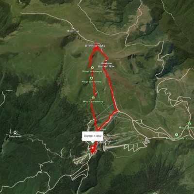
3D map
33 views
Length: 10.1km
Total ascent: 974m
Total descent: 999m
Minimum altitude: 1284m
Maximum altitude: 1870m
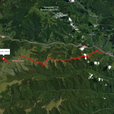
Rakhiv, via Mount Blyznytsia to Dragobrat
Three days or more
Unmarked
Passes through peaks: Mount Bliznytsia
3D map
33 views
Length: 29.7km
Total ascent: 2093m
Total descent: 1249m
Minimum altitude: 451m
Maximum altitude: 1849m

Carpathian GuideOnline