Hiking routes
Found 241 option
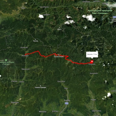
Bystrytsia village, via Mount Boiaryn, Mount Syvulia, Mount Ihrovets and Mount Vysoka to Osmoloda village
Three days or more
Unmarked
3D map
49 views
Length: 41.5km
Total ascent: 1060m
Total descent: 1063m
Minimum altitude: 387m
Maximum altitude: 929m

Carpathian GuideOnline