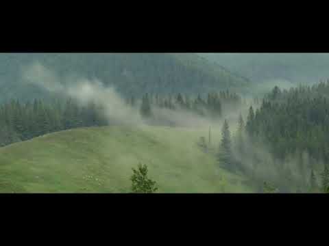
Myslivka


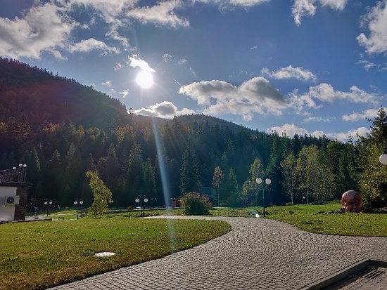
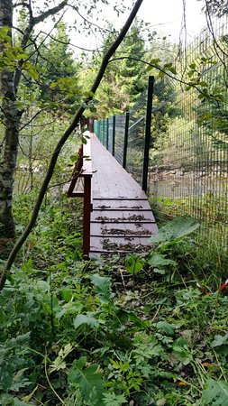
Myslivka is a village in the Dolyna district of Ivano-Frankivsk region. The neighboring villages are about 15 km away ( Vyhoda is 17 km away, Vyshkova is 12 km away). This small village (approx. 300 inhabitants) was founded by Austrian colonists in the XIX century and was first called Bryaza, later Ludvikivka. Iron ore was mined in the Josefstal tract.
During the Second World War, fearing the arrival of the Soviet army, the colonists fled to their historical homeland. Their surviving houses were taken over by immigrants from neighboring villages and towns. Since the times of Austria-Hungary, in the mountains you can see sections of the old narrow-gauge railway, 100-year-old wooden houses, wells, and household items. There is a mini-museum of antiquities in the hut "Bear", which stands on the site of a German inn.
There are protected forests around Myslivka where you can pick mushrooms and berries. Deer, wolves, and foxes can be found here. Myslivka is a low-mountain climatic resort (680 m above sea level), located at the confluence of the Ilnytsia River into the Svicha, at an altitude of 680 m, near the border of the Skole Beskids and the Gorgany Mountains. Streams originate in the northwest and east of the village: Yalovyi, Sapotii, Sokoliv, Pianka, Troian. The village was founded in the second half of the XIX century under the name Leopoldsdorf (Polish: Ludwikówka) as a settlement of Austrian loggers.
Since 1913, a narrow-gauge railroad has been running here, but now there are only remnants of it. Back in early 2013, some fragments of the railroad could be seen in the distant logging areas (Svicha logging road). But in the early summer of that year, looters pulled the rails out of the sleepers with skidding tractors. The sleepers were left scattered randomly, and the rails were stolen and sold as scrap metal. Iron ore was mined in the Josefstal tract, and a metal smelting furnace was built here. During the Second World War, fearing the arrival of the Soviet army, the colonists returned to their historic homeland. Their surviving houses were taken over by immigrants from neighboring villages and settlements. Thus, the village turned from a German village into a purely Ukrainian one, or rather a Boyko village. The road from Dolyna to Vyshkivskyi pass and further to Mizhhiria and Khust passes through the village.
In 1939, the village had 860 inhabitants (80 Ukrainians, 200 Poles, 10 Jews, and 570 Germans). On June 7, 1946, by a decree of the Presidium of the Supreme Soviet of the Ukrainian SSR, the village of Ludvykivka in Vyhidskyi district was renamed Myslivka.
Myslivka has a well-developed tourist infrastructure, many hotels and catering establishments. It is a convenient point to start traveling to Yayko-Ilemske and Gorgan Ilemske, along the Svicha River valley to the Bukovynian River Threshold and Pravych Waterfall, to the village of Sloboda in Zakarpattia region, and to Lake Synevyr. You can cross the Khom ridge to the valley of the Mizunka River. A marked route leads to Mount Gurgulat, which rises above the village.
In the village there is a botanical natural monument "Cedar Pine", and to the south of the village there is a hydrological natural monument "Lysak Swamp".
Що відвідати
Пам’ятки, музеї та цікаві місця поруч з Myslivka.
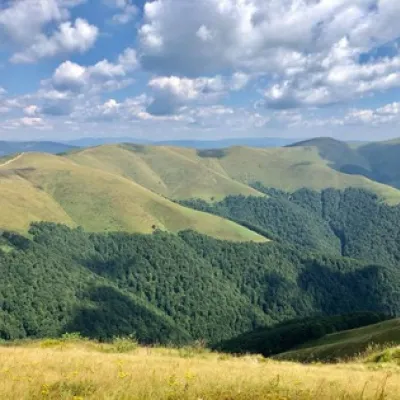 ПолонинаПолонина ЩавнаНовий Мізуньвисота 1 173 м8,3 км від центруПолонина Щавна розташована на висоті 1173 метрів над рівнем моря і знаходиться у Івано-Франківській області, поряд з заповідником “Сколівські Бескиди” і містом Долина.
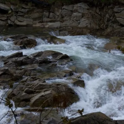 ВодоспадМізунські водоспадиНовий Мізунь10 км від центруМізунські водоспади – прекрасне місце для любителів гірського відпочинку. Круті схили і пороги на річці Мізунці створюють неймовірно видовищний каскад водоспадів.
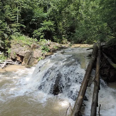 ВодоспадВодоспад Гуркало ІлемськеІлемня13 км від центруГуркало Ілемське - водоспад в Українських Карпатах (масив Ґорґани). Розташований у межах Рожнятівського району Івано-Франківської області, за 7 км на південний захід...
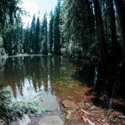 ОзероОзеро Аршиця, ОсмолодаОсмолода13 км від центруОзеро Аршиця – найвище розташоване (1300 м) озеро на хребті і не так давно відкрите – в квітні 2009 року туристом з Долини Віктором Верховинцем, про що свідчить...
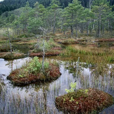 ПриродаБолото Ширковець, Новий МізуньНовий Мізунь13 км від центруБолото Ширковець – відома гідрологічна пам'ятка загальнодержавного значення. Розташована в Долинському районі Івано-Франківської області, між селами Старий Мізунь і...
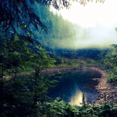 ОзероОзеро Росохан (Осмолода, Горгани)Осмолода16 км від центруМаловідоме гірське озеро Росохан (Осмолода, Івано-Франківська область) – гiдрологiчна пам`ятка природи мiсцевого значення площею 4,7 га.
Де зупинитися
Готелі, садиби й котеджі в Myslivka та околицях.
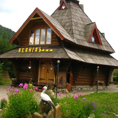 ГотельГотель "Ведмідь" МислівкаМислівка1,4 км від центруСаунаSPAКамінПоруч: г. Горган-Ілемський 8,4 кмполонина Щавна 9,4 км7 маршрутів
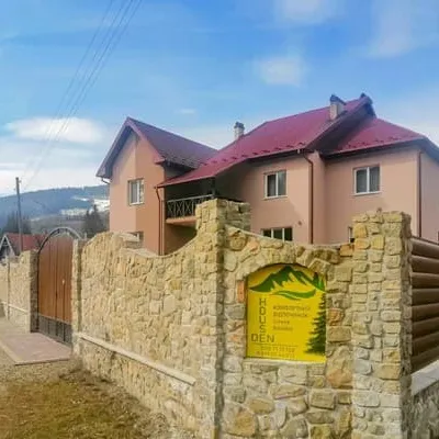 ГотельDen HouseДолина1,6 км від центруБасейнПоруч: г. Горган-Ілемський 8,3 кмполонина Щавна 9,7 км7 маршрутіввід 1 150 грн за ніч
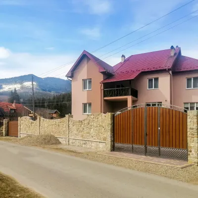 ГотельDen HouseМислівка2,1 км від центруБасейнСаунаСніданокПоруч: г. Горган-Ілемський 8,0 кмг. Яйко-Ілемське 10,0 км7 маршрутів
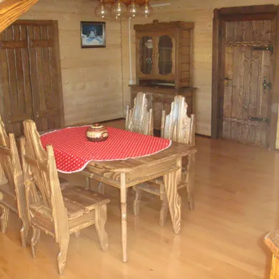 СадибаГостинний дім "Затор" ВишківВишків11 км від центруБасейнСаунаКухняПоруч: г. Велика Мегла 9,8 км
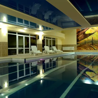 ГотельГотель "Ялинка" ВишківВишків11 км від центруБасейнСаунаSPAПоруч: г. Велика Мегла 9,9 км
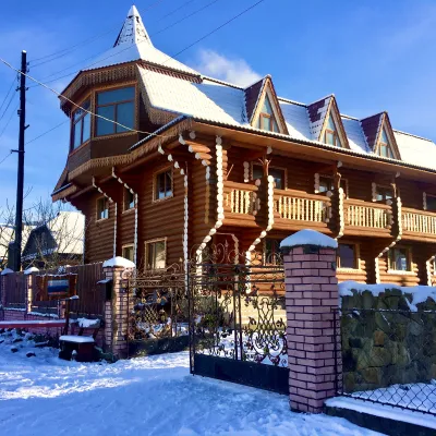 ГотельЧайна ХатаІвано-Франківськ11 км від центруЧанМангалКухня
Маршрути поруч
Всі маршрути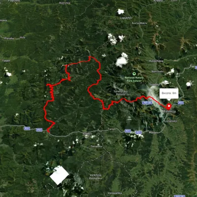 СкладнийБагатоденнийБез маркуванняс. Мислівка до смт. Міжгір'ячерез г. Молода, г. Попадя +3Профіль висоти444–1 717 м117 кмнабір 6 438 мменше 1 км від центру
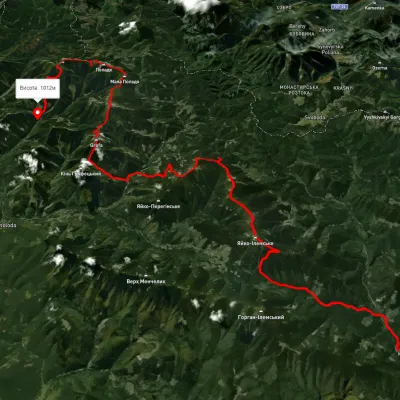 СкладнийБагатоденнийБез маркуванняс. Мислівка до с. Осмолодачерез г. Яйко-Ілімеське, г. Молода +2Профіль висоти629–1 740 м61,3 кмнабір 3 821 мменше 1 км від центру
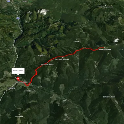 СереднійОдноденнийМаркованийНа Горган ІлемськийПрофіль висоти651–1 568 м11,6 кмнабір 535 м≈ 4 год ходу1,2 км від центру
Вершини поруч
Всі вершини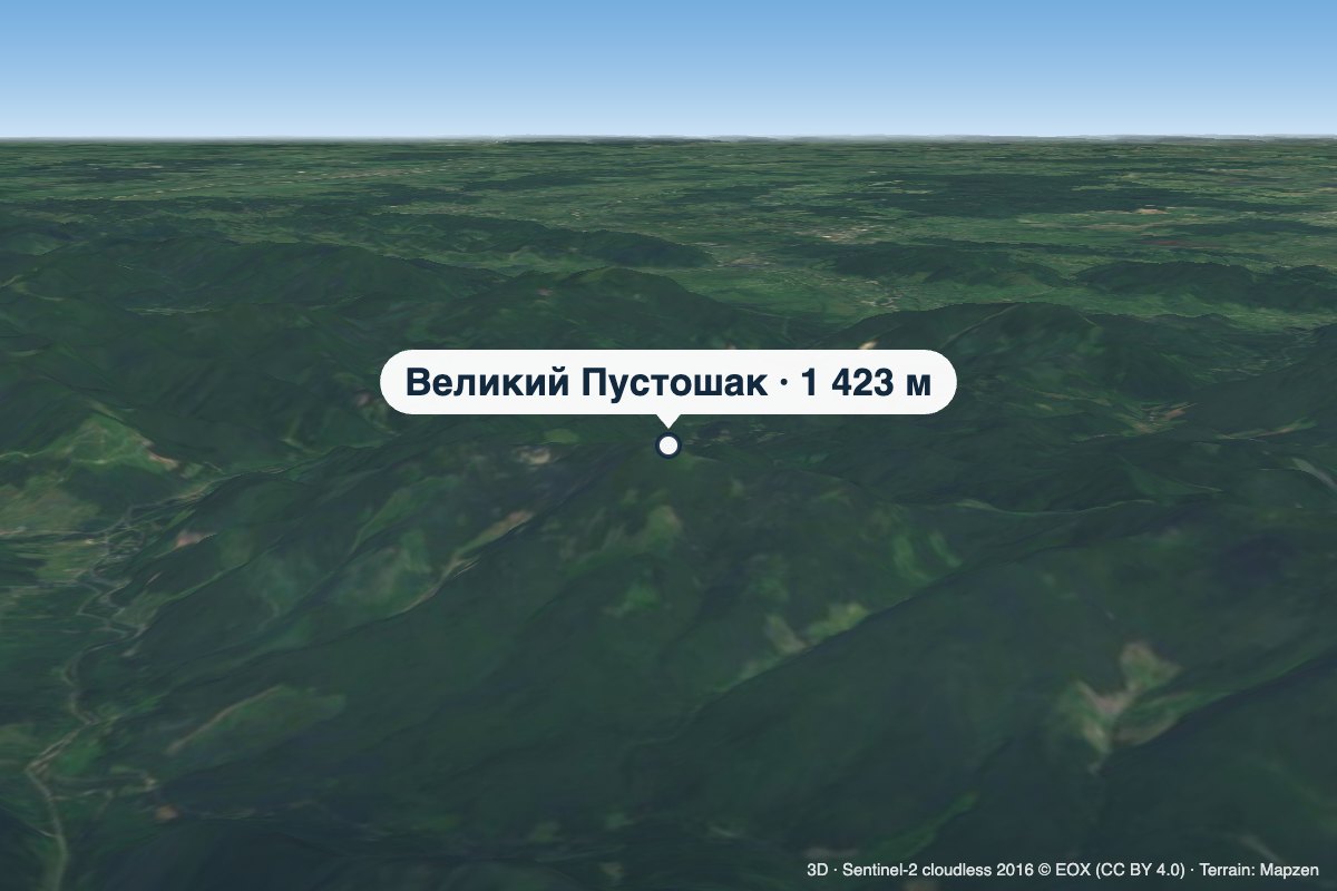 ВершинаГора Великий ПустошакМислівкависота 1 423 м · масив Горгани5,7 км від центруВеликий Пустошак — вершина заввишки 1423 м (за іншими даними — 1427 м) у північній частині Ґорґан, у Калуському районі Івано-Франківської області.
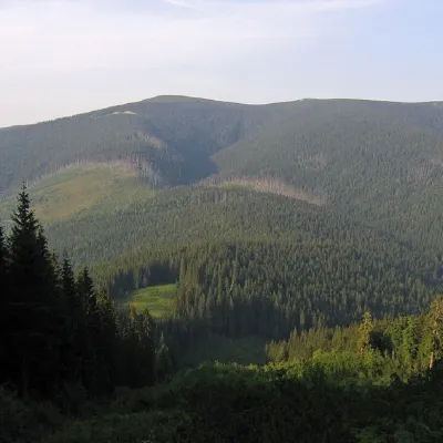 ВершинаГора Горган-ІлемськийМислівкависота 1 587 м · масив Горгани9,8 км від центру8 маршрутів на вершинуГора Горган-Ілемський – вершина Українських Карпат, яка розташована на хребті Аршиця Горганського гірського масиву.
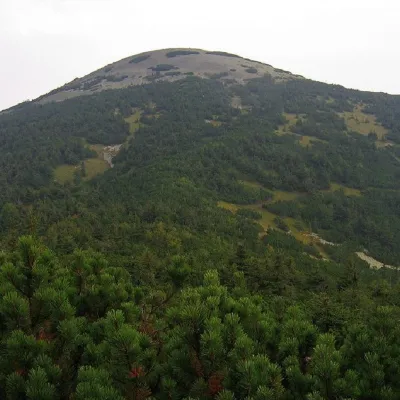 ВершинаГора Яйко-ІлемськеМислівкависота 1 680 м · масив Горгани12 км від центру7 маршрутів на вершинуГора Яйко-Ілемське – вершина Українських Карпат, яка розташована в західній частині Горганського гірського масиву.
Що поблизу
Відео