Boryslav waterfall
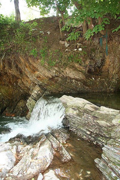
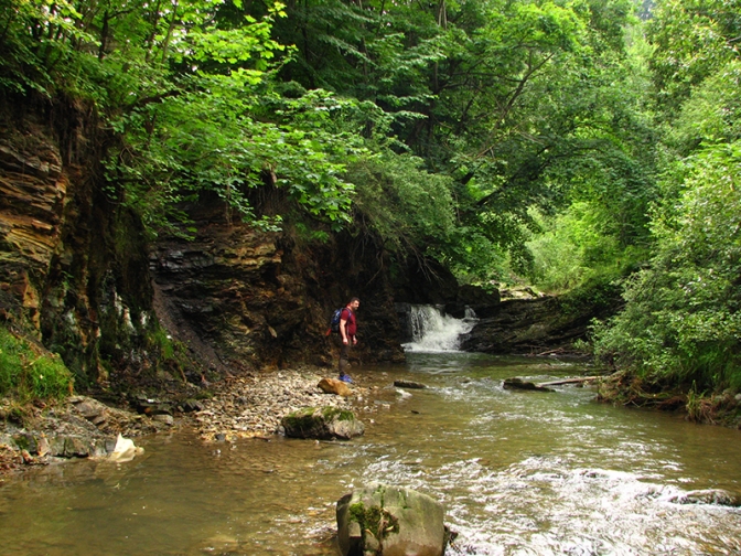
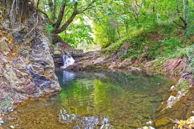
The Young Boryslav Waterfall is a small waterfall (falling height is about two meters). It was formed in the mid-1940s and continues to grow gradually. It has only one cascade. It is located in the riverbed of the Tysmenytsia River, south of the central part of Boryslav.
The water drop height is about 2 meters. The height above sea level is 398 meters. The waterfall consists of one cascade (ledge). At the foot of the waterfall there is a water boiler about 5 m in diameter, the water depth in which exceeds 2 m. The waterfall was formed on intensively faulted and folded rocks of the Lower Menilithic Suite of the Neogene ("cornucopian" horizon). On the left bank of the river, right next to the waterfall, folded rocks of the Menilite Formation are exposed (see Boryslavsky Paleogene section).
The waterfall was formed in the mid-1940s and gradually increases its height due to neotectonic movements of the Boryslav-Pokutska tectonic subzone of the Precarpathian marginal trough.
It takes about 1 hour and 40 minutes to get to the waterfall by car. Since the waterfall is in the city, there are other places to walk around besides the waterfall, as Boryslav itself is a city where oil production was developed.
Accommodation around Boryslav waterfall:


Nearby hiking trails near Boryslav waterfall:
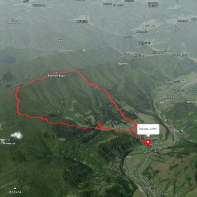
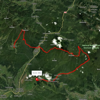
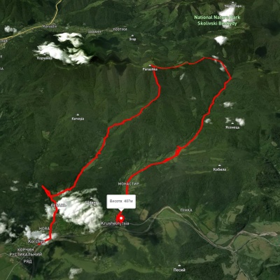
Які маршрути проходять повз Boryslav waterfall?
Пропонуємо пройти такі туристичні (пішохідні) маршрути через/біля Boryslav waterfall: с. Сопіт, через Сопітські полонини до с. Сопіт, с. Кам'янка, через г. Лопата, м. Сколе, г. Парашка до с. Крушельниця, с. Корчин, через вдсп. Гуркало, г. Парашка до с. Крушельниця, м. Сколе, через г. Парашка, вдсп. Гуркало, с. Корчин до с. Верхнє Синьовидне, м. Сколе, через г. Парашка, вдсп. Гуркало до с. Корчин, м. Сколе, через г. Парашка до вдсп. Гуркало