Rushirsky waterfall, Lyucha
Rushir Waterfall is a waterfall in the Ukrainian Carpathians (Pokutsko-Bukovyna Carpathians), a hydrological natural monument of local importance called "Waterfall on the Rushir River" (managed by the State Enterprise "Kutske Forestry, Yablunivka Forestry, sq. 21, ex. 5; the status was assigned according to the decision of the Regional Executive Committee of 07.07.1972 No. 264).
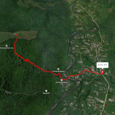
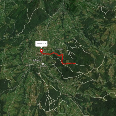
It is located southwest of Yabluniv village in Kosiv district of Ivano-Frankivsk region, near the Yabluniv - Kosmach road.
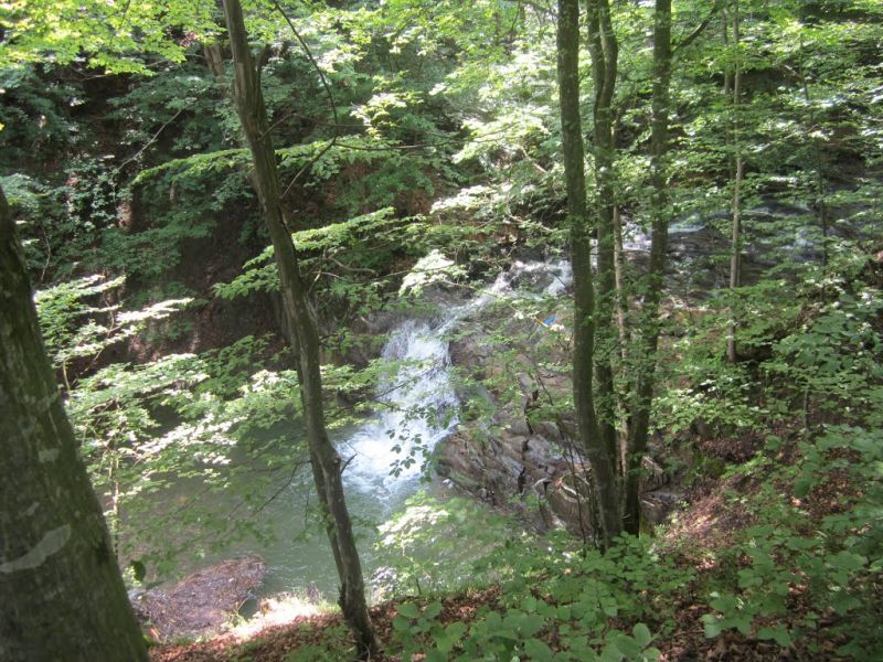
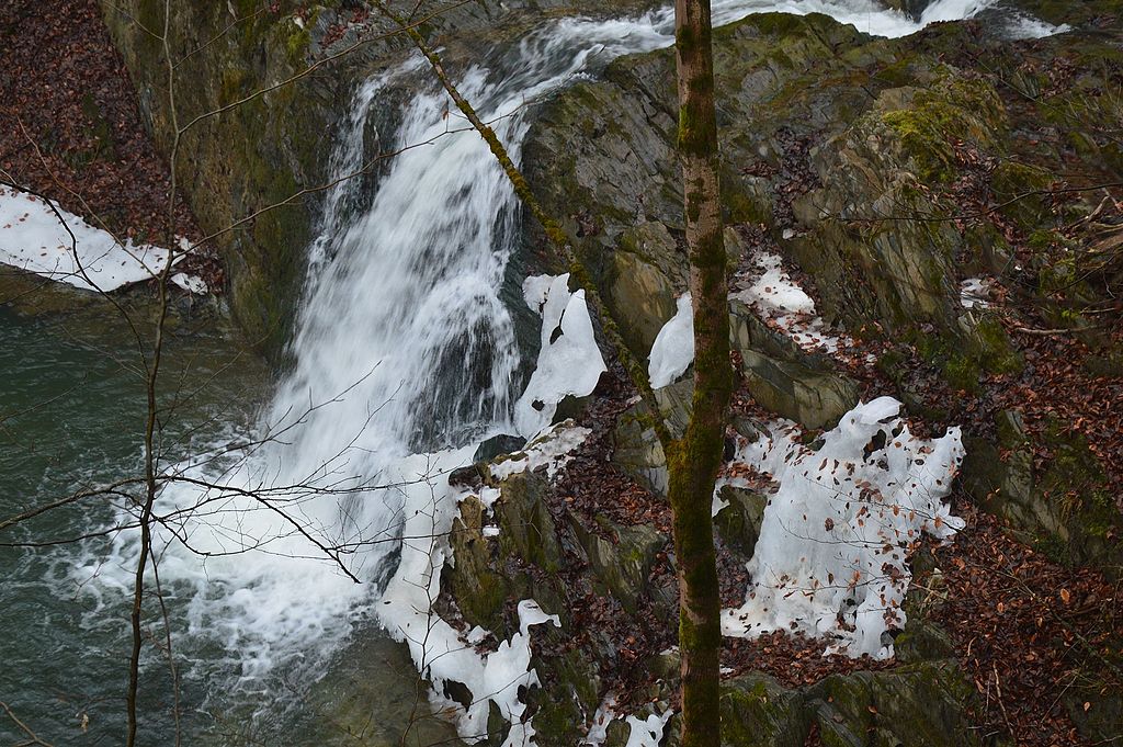
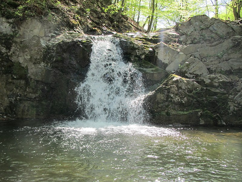
The waterfall is 4 meters high. It was formed in the place where the Rushyr River (the right tributary of the Liuchka) falls from a rocky outcrop in a continuous stream at an angle of more than 45 degrees.
Liucha is a modern Hutsul village that has preserved the spirit of ancient traditions and is doing its best to keep this flame alive. The main direction of further development of the village is tourism. Bison, deer, elk, roe deer, wild boars, several species of birds, trout, and crayfish are bred here. Natural attractions include the Huk waterfall, the Stone, and the arboretum near the forestry.
Accommodation around Rushirsky waterfall, Lyucha:


Nearby hiking trails near Rushirsky waterfall, Lyucha:
Which trails pass by Rushirsky waterfall, Lyucha?
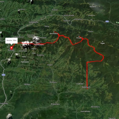
We suggest these hiking trails through or near Rushirsky waterfall, Lyucha: Sheshory – Rosokhata, Opryshky Road, Kosmach village, via Mount Rotylo, Mount Hrehit and Mount Bila Kobyla to Bukovets village, Mykulychyn village, via Mount Khorde and Mount Rotylo to Kosmach village, Medvezhyi tract – Mount Kuratul, Verkhovyna, via Mount Bila Kobyla, Mount Makovytsia and Dovbush Rocks to Yaremche