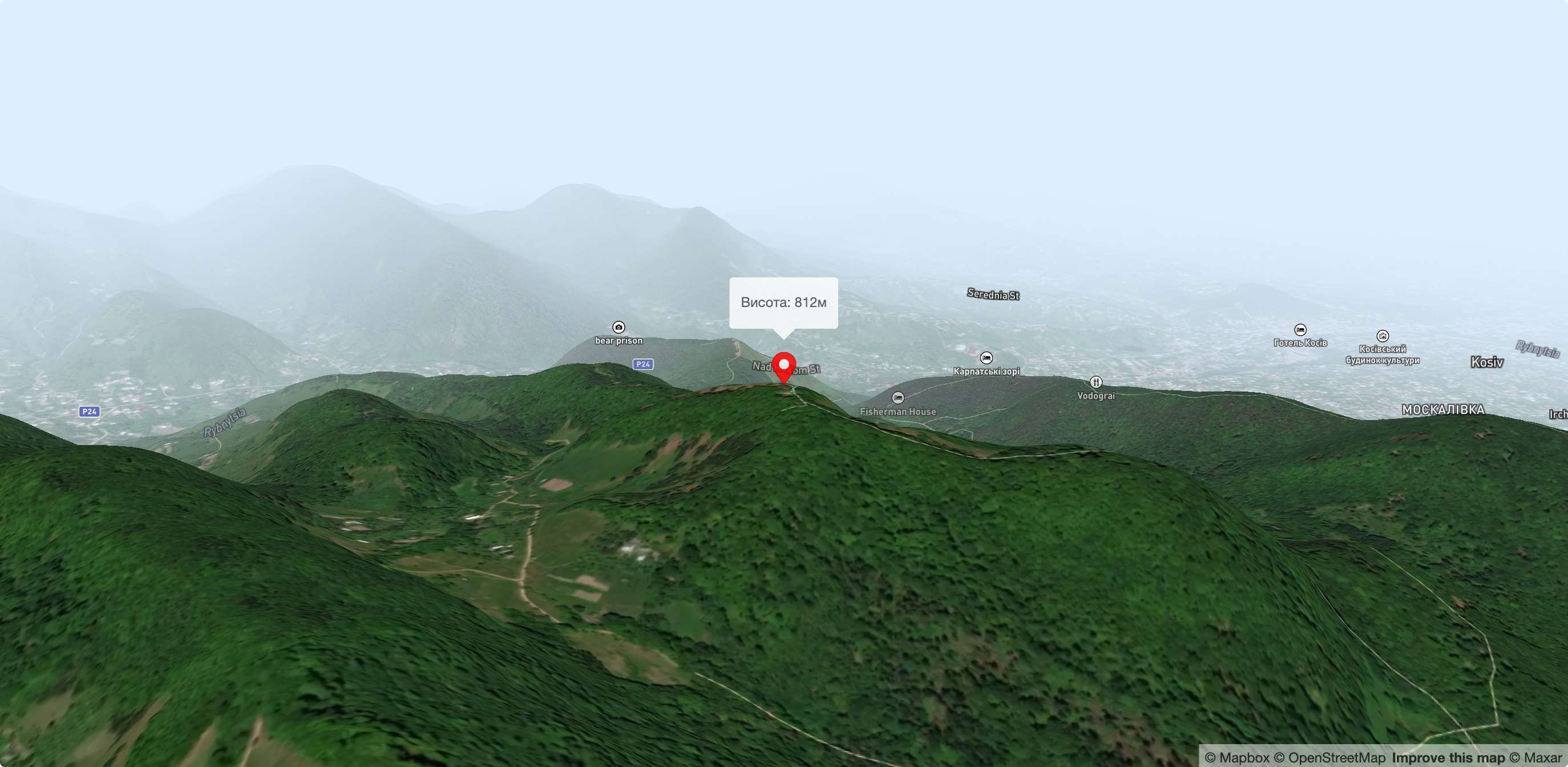
Mikhalkova Mountain (Kosiv)
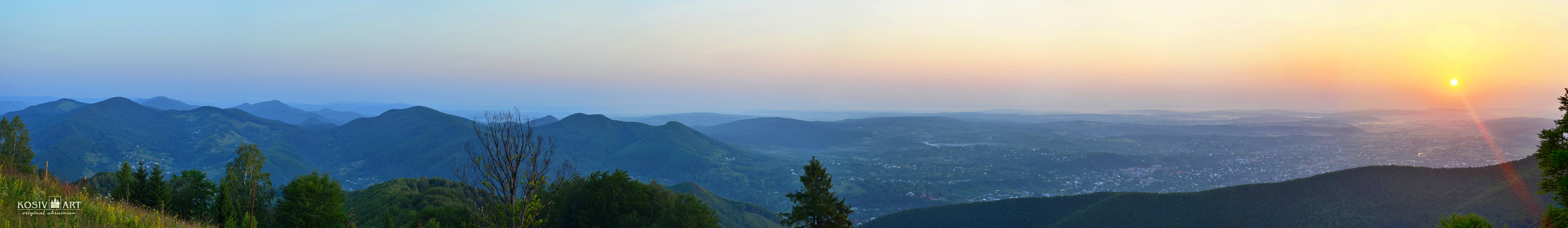
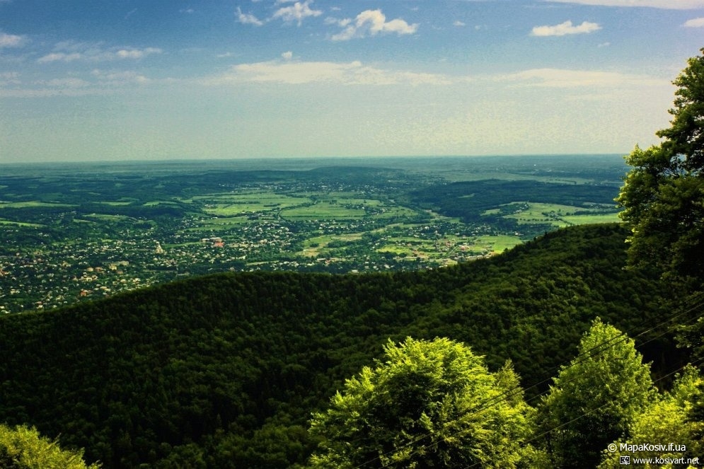
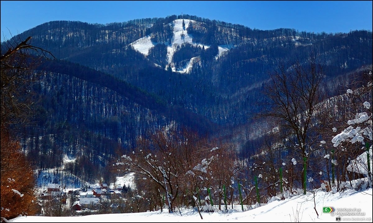
Mount Mykhalkova (Mikhalkiv), with a height of 812 meters, is part of the Pokuttya Carpathians. It is the highest point in the city of Kosiv and the village of Horod. It is one of the most popular tourist routes among Kosiv residents and visitors. The top offers a breathtaking panorama - you can see Kosiv as if in the palm of your hand (pictured) and the surrounding villages as well.
A walk with a long rest at the very top (and this is a great place to look in all directions of the horizon) will take 3-3.5 hours. From the Carpathian Dawns tourist complex, tourists go down the path to the Rybnytsia River, follow Nad Hukom Street to the Banske Bridge, crossing which you will find yourself on Franko Street, and turn to Irchana Street near the chapel. After walking along it for a few meters, go straight into an alley, cross the bypass road, and you are already on the way to the coveted peak. For tourists who come from the valleys and have never been to the Carpathians, it will be the first highest mountain.
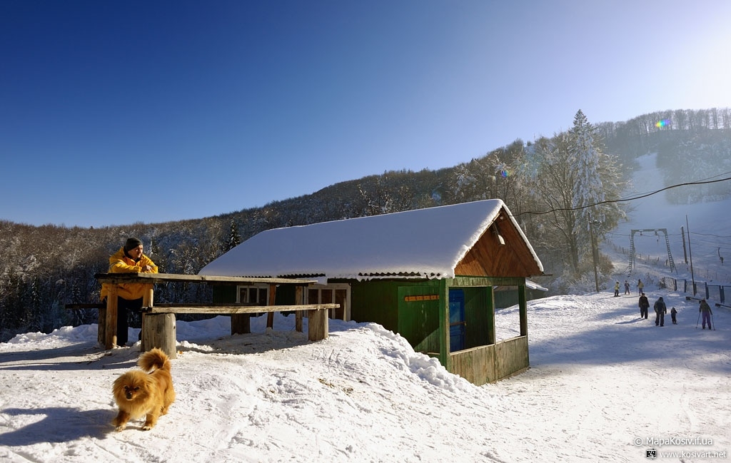
Follow the dirt road that slowly climbs up the green corridor to a crossroads where three roads converge. Keep to the right side. This road will lead you to the cable car lift, built in 1975. Here you can rest and drink spring water.
In winter, you can rent ski equipment here, in summer and autumn, going up, you can enjoy wild berries (but eat only those you know well), and if you are especially lucky, you will find a true boletus mushroom. Don't take any mushrooms you don't know, especially beware of the pale toadstool.
And here you are on Mykhalkova Hill. You won't find such beauty anywhere else. From the top, you can see the panorama of Kosiv and the surrounding villages, and to the right, the fast-flowing Cheremosh, sung in songs, winds its way through the distance, separating two beautiful regions of Ukraine - Bukovyna and Galicia. And in front of you, from east to west, is a fantastic panorama of mountains. It seems that there is no end to them. In good weather, in the southwest, you can even see the light contours of the queen of the Ukrainian Carpathians, Mount Hoverla.
If you also have a habit of not returning the same way from a trip, I can offer three options:
- The first is to take the trail to the Levada pond and back to Kosiv via the "traverse road" I mentioned earlier;
- The second is to go from Levady to the right, to the village of Sokyry, and descend to the village of Horod;
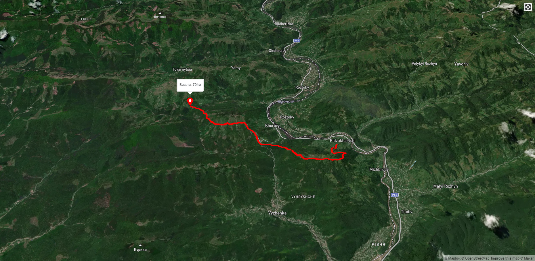
- Or you can turn left and follow the forest road to the village of Voliytsi in the village of Cherhanivka (pictured). Among the attractions of this path is the opportunity to see Mount Mykhalkiv and the Holytsia ridge from a completely different angle. The road often crosses a small river Volytsia. In general, its water is also very popular among the residents of Kosiv region! At the end of the trip, you will come out again to Druzhby Street (bypass) and the village of Smodna.
Interesting facts about Mykhalkova Hora
- On May 6, on the feast of St. George the Serpent, huge bonfires are traditionally lit on the top of Mikhalkiv Mountain, which can be seen from all over Kosiv. This custom came to us from ancient times, but has survived to this day. It used to be done by the Plast members, as St. George is their patron saint, but in recent years, everyone can make bonfires.
- In good weather, you can even see the highest point of Ukraine, Mount Hoverla (in the southwest), from Mykhalkova.
- On Mount Mykhalkiv, there is a rope tow lift built in 1975. Its length is 1400 meters and the height difference is 250 meters. There are trails of medium and high difficulty, but in general, the "cable car" is in disrepair and has long been outdated.
- The best time to conquer Mykhalkova is, of course, the night of December 31 to January 1! I've already celebrated the New Year on the top twice and it was great! From the height of the mountain, you can see how not only Kosiv and the villages of our district explode with fireworks and New Year's lights, but also Verkhovyna, Kolomyia, and many other settlements. By the way, for some reason, Kosiv starts "shooting money into the sky" when everyone else has long finished, sometimes you have to wait 15-20 minutes.
- On the slopes of the mountain there is also a bicycle track for downhill training. Kosovo's young extreme sportsmen go there not only in summer but also in winter.
- At the very top of Mount Myhalkiv, there is a communication tower with an electrical substation. Perhaps it helps people to hear each other clearly on their cell phones, and this is our benefit to civilization, which significantly reduces the mountain's tourist appeal with its terrible constant humming.
- It is said that in the two thousand years there were investors in Kosovo who wanted to buy the territory of the mountain and build a good ski resort with a hotel, like in Bukovel. However, they were refused by the authorities. Allegedly because the mountain brings 60,000 UAH to the district treasury in winter, which is then spent on children's sports in the district. And the new owners would pay only minimal taxes. Later, the same people decided to forget about Kosiv and built a wonderful resort in the village of Myhove (Vyzhnytsia district, Chernivtsi region), which is still quite popular today.
- Once, in the late 90s, a special surface was laid on Myhove at public expense, before the elections, for skiing not only in winter but also in summer. There are similar surfaces in Yaremche and Vorokhta for training athletes. However, the project was never completed, as is often the case with Kosovo officials. As a result, our Hutsuls have been stretching it all around their homes, using it as a rug to wipe their feet.
- I don't want to scare people for nothing, but after sunset, in the forest, not far from the 8th and 10th cable car supports, we heard some strange animal or bird voices.
Accommodation around Mikhalkova Mountain (Kosiv):


Які маршрути проходять повз Mikhalkova Mountain (Kosiv)?
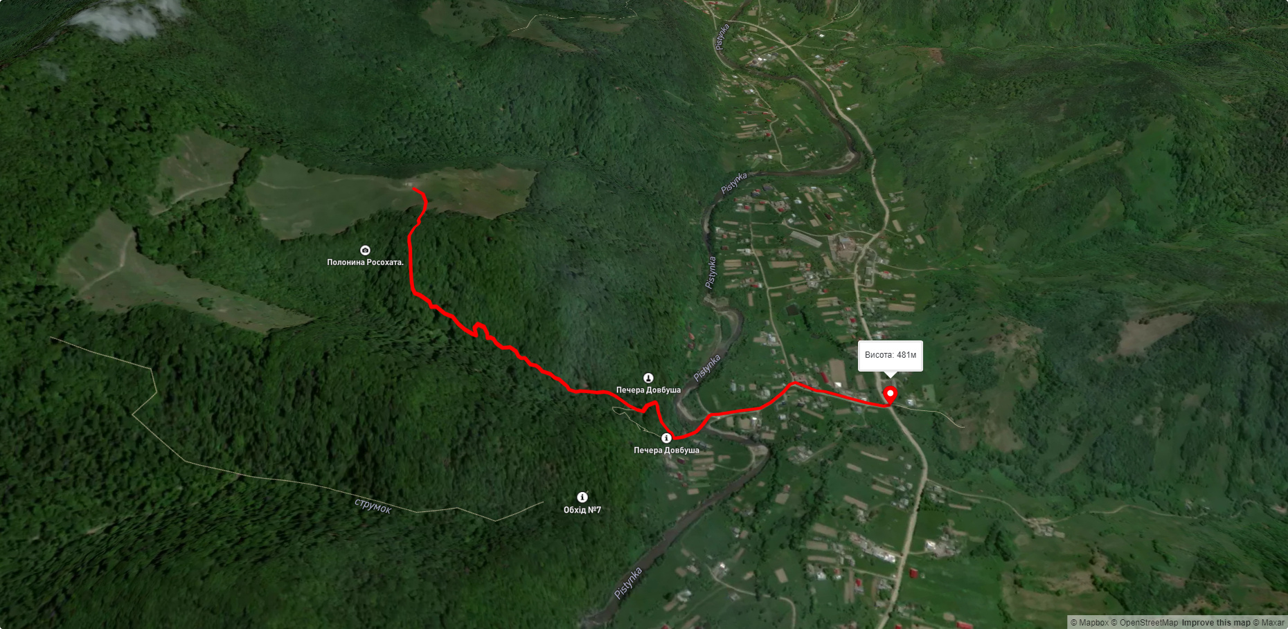
Пропонуємо пройти такі туристичні (пішохідні) маршрути через/біля Mikhalkova Mountain (Kosiv): пер. Німчич - Протяте Каміння, Смугарські водоспади, Писаний Камінь – с. Буковець, с. Буковець – Писаний Камінь – с. Буковець, Шешори - Росохата, с. Космач, через г. Ротило, г. Грегіт, г. Біла Кобила до с.Буковець


пер. Німчич - Протяте Каміння
Смугарські водоспади
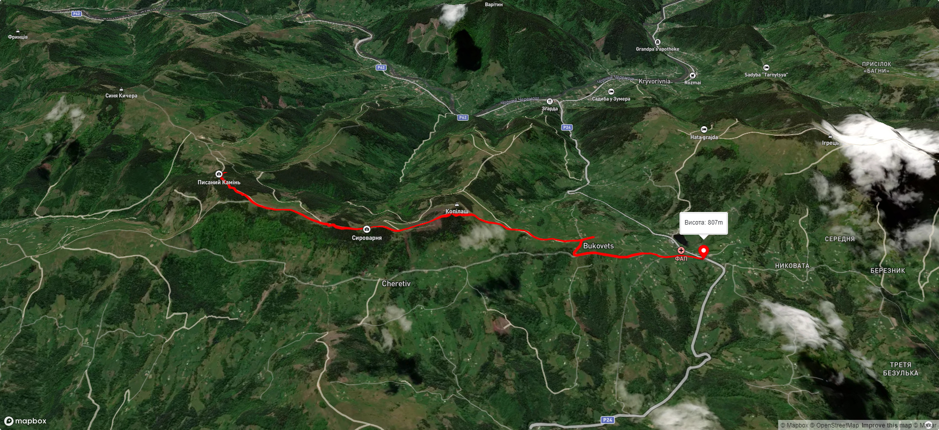
Писаний Камінь – с. Буковець
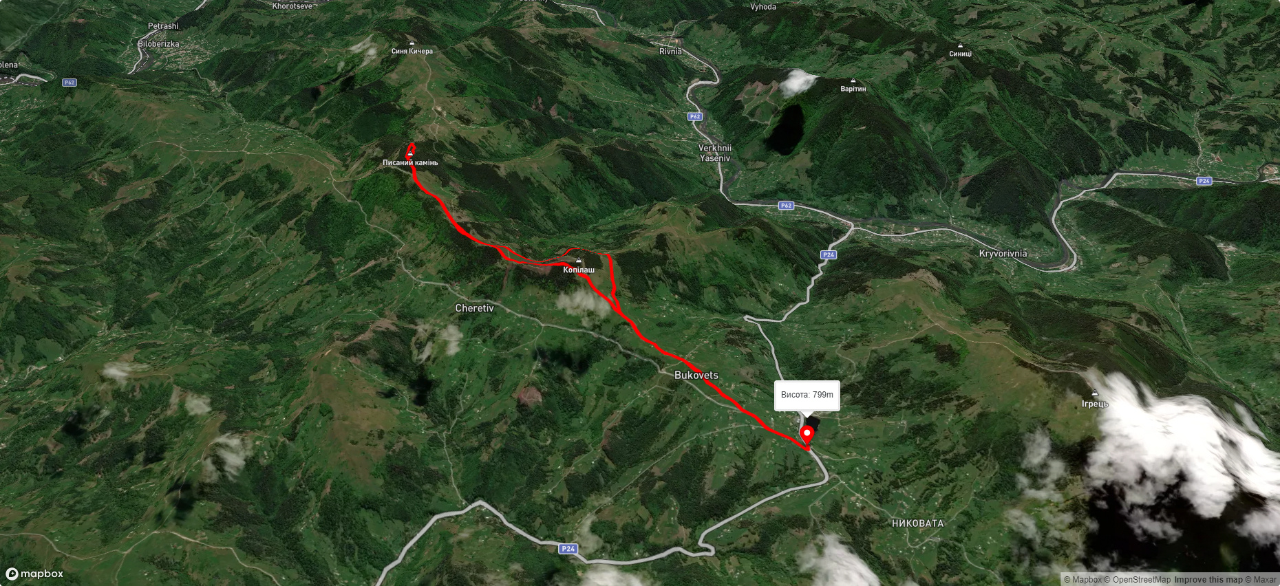
с. Буковець – Писаний Камінь – с. Буковець