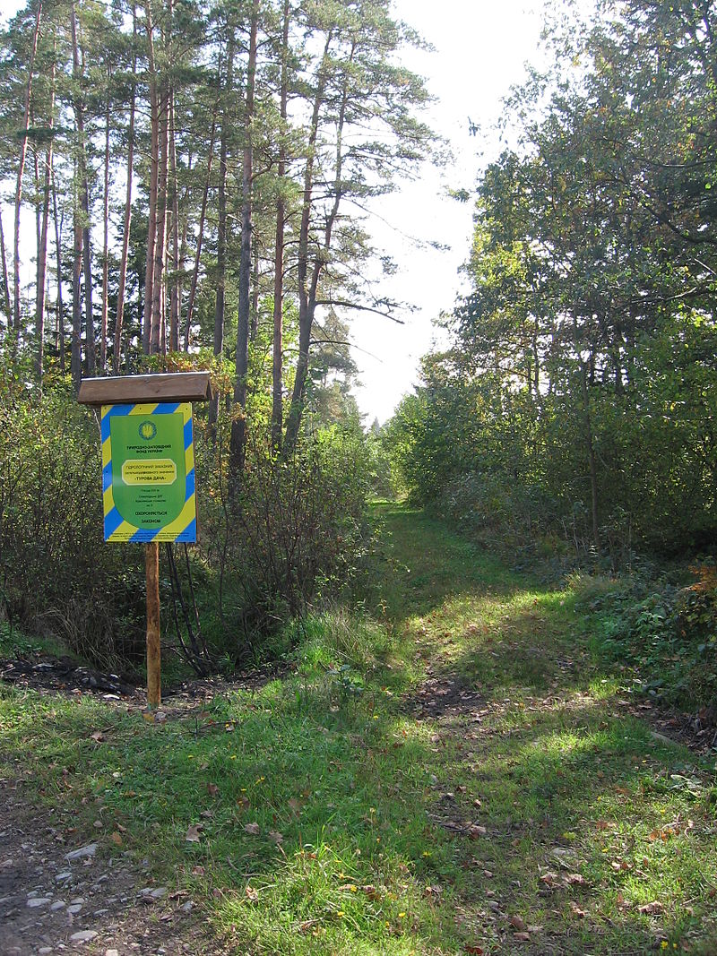
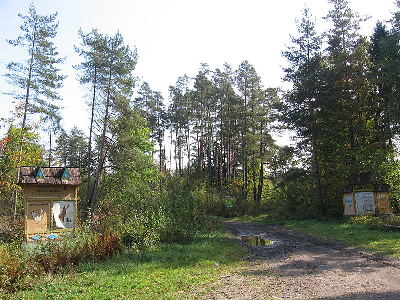
Hydrological reserve "Turova Dacha"
It is a unique upland bog in the interfluve of the Limnytsia River and the Cherlenyi Stream (a right tributary of the Limnytsia). The protected area includes waterlogged bog forest communities on peat bogs, mainly blueberry-sphagnum pine forests, where rare species for the Carpathian region used to be found: small-fruited cranberry and round-leaved sundew. In order to improve the economic development of the forest and increase its productivity, a network of reclamation ditches up to 2 meters deep was laid here. This resulted in the drainage of natural complexes, accelerated growth of stands, changes in vegetation cover, reduced habitats and possibly the disappearance of some rare plants, including small-fruited cranberries and round-leaved sundew.
The marsh natural complexes, where the peat thickness reaches more than two meters, were probably formerly river oxbows and probably went through the stages of waterlogging, settlement of moss and shrubs, and shrubs, up to the formation of low-growing sphagnum pine forests of the Polissya type.
In 2007, within the framework of the project of the Embassy of the Netherlands in Ukraine, the public organization "Carpathian Trails" installed protection signs (full house).
The projected cover of the stand is mainly from 50 to 70% at a height of 10 meters. It is dominated by Scots pine. Hanging birch, spruce, and glutinous alder are found as an admixture. Undergrowth is sparse, consisting mainly of young spruce, mountain ash and common oak. Young pines are rarely found. This indicates that in forest communities of this type, under the influence of drainage reclamation, the processes of stand change have been favorable in favor of mixed oak and spruce forests with an admixture of alder, fir, and pine.
Regulations on the hydrological reserve of national importance "Turova Dacha" in the new edition
Accommodation around Hydrological reserve "Turova Dacha":


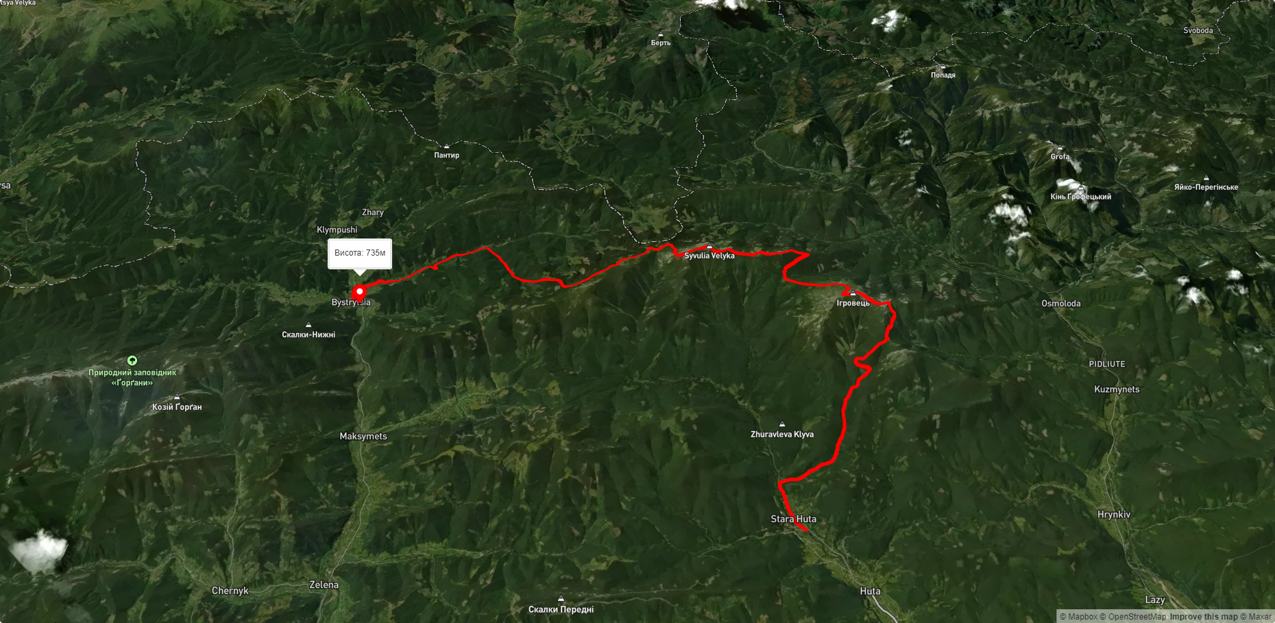
Nearby hiking trails near Hydrological reserve "Turova Dacha":
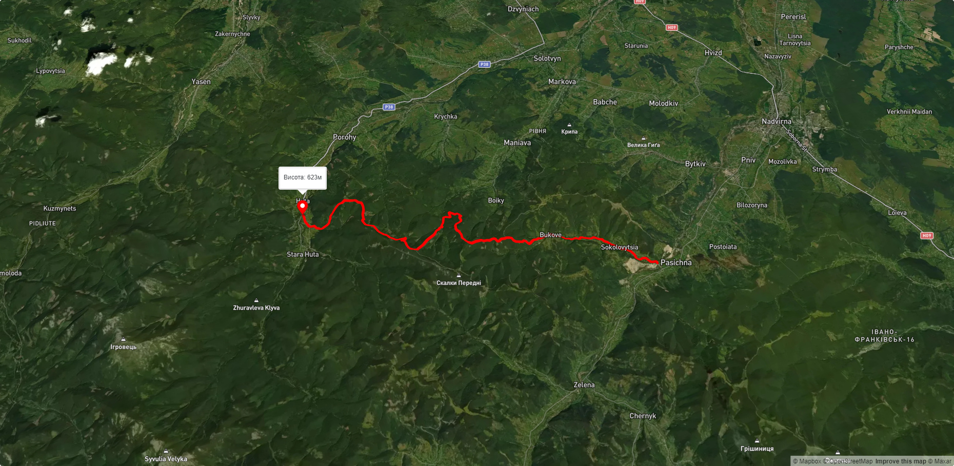
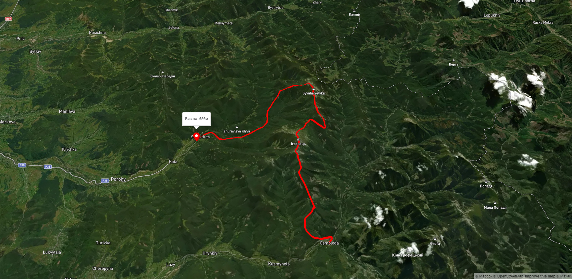
Які маршрути проходять повз Hydrological reserve "Turova Dacha"?
Пропонуємо пройти такі туристичні (пішохідні) маршрути через/біля Hydrological reserve "Turova Dacha": с. Гута - с. Пасічна, г. Осмолода, через г. Висока, г. Ігровець, г. Сивуля до с. Стара Гута, с. Стара Гута, через г. Висока, г. Ігровець, г. Сивуля до с. Бистриця, Гута - Погарчина, с. Бистриця, через г. Боярин, г. Сивуля, с. Стара Гута, г. Висока, г. Ігровець, с. Осмолоода до с. Кузьминець, с. Стара Гута, через г. Висока, г. Ігровець, г. Сивуля до с. Бистриця