Osmoloda
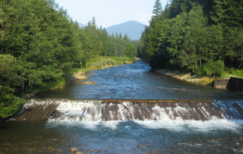
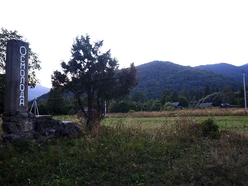
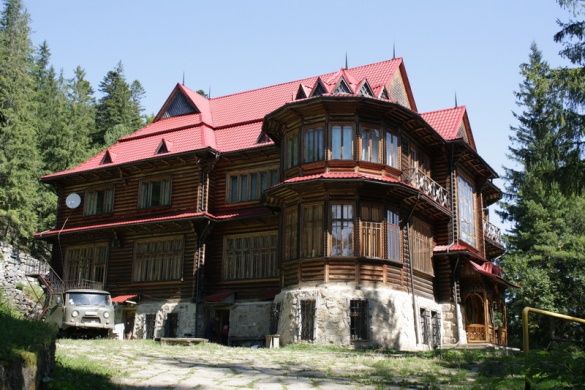
Osmoloda is the southernmost village in the Rozhniativ district of Ivano-Frankivsk region. It is located in the Gorgany massif. In the village's suburbs, the Bystryk and Petros rivers flow into the Limnytsia. It was here that the metropolitan's summer residence-resort with the Cedar Chamber was founded (early 20th century). It could be reached by the narrow-gauge Broshniv-Osmoloda railroad.
The official date of foundation is 1873. The population is about 60 people. There is not even an elementary school in the village, although there were more children in the Soviet times and the elementary school was functioning. The village of Osmoloda is an ancient settlement of woodcutters, located in the highland valley of the Limnytsia River. The name comes from Mount Moloda ("Here is Moloda"), not far from which the village is located. The small number of residents (about 60 people) is due to the village's location (practically the end of the road) and the migration of locals abroad. The Rozhniativ district of Ivano-Frankivsk region, to which Osmoloda belongs, is generally the birthplace of Ukrainian emigration. In 1891, residents I. Nebylov, Pylypiv, and V. Ilynyak left their native village in search of a better life and went to Canada, marking the beginning of a flow of thousands of people seeking a better life. The villagers erected a monument to their fellow countrymen.
The Moloda River flows through Osmoloda, which in the 1980s was considered the cleanest river in Europe. Just downstream of the river is the Pidliute tract, where there is a villa called the Cedar Chamber, built in the early 20th century. It is known as a resort and summer residence of Metropolitan Andrey Sheptytsky. The surrounding lands have long belonged to the Lviv Metropolia of the UGCC and were a place of rest and treatment for Lviv metropolitans, due to the abundance of natural mineral springs rich in hydrogen sulfide. On August 12, 1934, on a Sunday, the cedar reserve was inaugurated, attended by Metropolitan Andrey Sheptytsky, scholars, and numerous guests. A month later, on September 20, 1934, by the decision of the Stanislaviv voivode, the area of European pine in Gorgany was legally recognized as a reserve. A number of objects covering an area of 18 km² were allocated and proposed as reserves: fir, spruce, sycamore, pine, beech, the Stavky tract, which united three high-mountain ponds, separate peat bogs and rock reserves, and the Pidliute tract ("Zhyvets," "Pidliute," and "Palata").
You can see the "Cedar Chamber" on the way to the village, it is clearly visible to the right of the road. On the territory, you can take mineral water directly from the spring.
Now the residence has turned into a monastery of the Basilian Fathers. In Osmoloda itself, there were tartaki (sawmills) that were the property of the metropolis. 10 km from Osmoloda, in the Angeliv tract, there is the Angeliv blast furnace of 1810, built by Anton Angelovych, who contributed to the creation of an ironworks here: a blast furnace, 12 mines for ore extraction, 2 hamarni (iron processing factories), and a forge for the production of nails were built. The complex operated for only 6 years and was heavily damaged during the First World War. It is not difficult to find this industrial architecture monument - you need to stop at the information board about the blast furnace before reaching Osmoloda, then cross the bridge to the other side of the river, then the path on the left will lead you to the furnace.
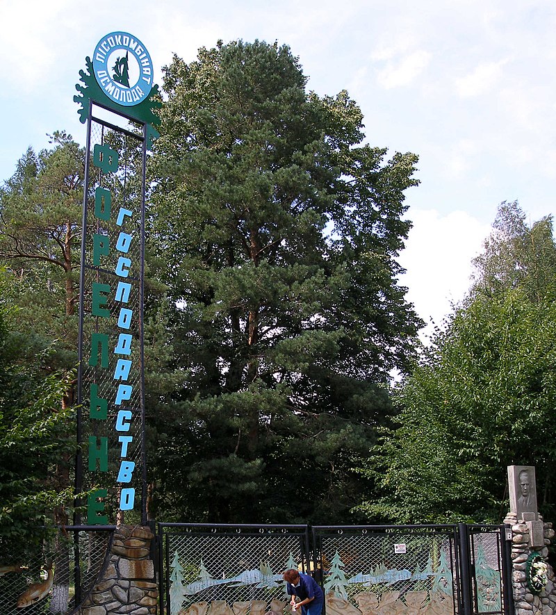
The village has several grocery stores, a worker's dormitory and dining room, a trout farm, and is developing green tourism. Osmoloda is an attractive place for hiking: there is access to the ridges and peaks of Igrovets, Syvul, Popadia, Grofa, and Arshytsi. The trails around Osmoloda are the best cleared and marked. In the Luzhky tract, between the Arshytsia ridge and Mount Kin, Lviv Studite monks partially rebuilt the skete of St. Andrew the First-Called, which was destroyed by the Soviet army during World War II.
List of the main routes:
- Osmoloda village, via Mount Vysoka, Mount Ihorovets, Mount Syvulia to the village of Stara Huta - a distance of 33 km, marked in red;
- Osmoloda village - Fashory ridge (1102 m) - distance 8 km;
- Osmoloda village - Mount Hrofa (1748 m) - distance 22 km, marked in green;
- Osmoloda village - Mount Moloda (1723 m) - distance 30 km, marked in yellow;
- Osmoloda village - Lake Rosokhan - distance 26 km, marked in black;
- Osmoloda village - Horhan ridge - distance 20 km, marked in blue;
- Kuzminets village (neighboring village) - Mount Vysoka (1803 m) - distance 24 km.
Not far from the village there are protected areas: Grofa landscape reserve, Yaykivskyi reserve, Mshana swamp, Liutoshary swamp, Syvulia tract, Lopushna tract, Kotelets tract, Rosokhan Lake natural monument, Limnytsia River landscape reserve.
These places are rarely visited by tourists, due to the poorly developed recreational infrastructure, lack of normal roads, and, accordingly, transportation. But this has its advantages for those who seek a quiet vacation in a quiet place, in nature. The Limnytsia River, a natural monument of national importance, is considered the cleanest river in Europe.
As of July 23, 2014, only Kyivstar has mobile service in the village. In Rozhnyativ district, road workers were repairing the Kalush-Osmoloda highway in an intensive mode to mark the 150th anniversary of the birth of UGCC Metropolitan Andrey Sheptytsky.
- Osmoloda Village Council, 1 Shkilna St. +38 (03474) 2-13-02
- Mountain Search and Rescue Service in the village of Osmoloda +38 (097) 753-74-24, +38 (067) 342-04-98.
Що відвідати
Пам’ятки, музеї та цікаві місця поруч з Osmoloda.
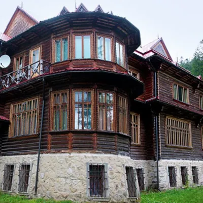 АрхітектураРекреаційний комплекс "Кедрова палата" (Дача Шептицького) ОсмолодаОсмолодаменше 1 км від центру"Кедрова палата", відома також як "Дача Шептицького" - рекреаційний комплекс в урочищі Підлютому (Підлюте) на річці Лімниці, яка вважається найчистішою в Європі.
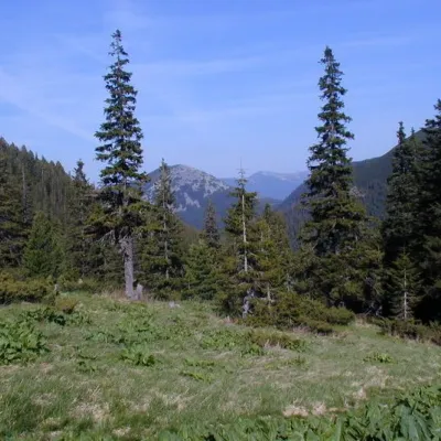 ПолонинаПолонина ПлісцеОсмолодависота 901 м8 км від центруУ Карпатах є безліч полонин, проте Плісце вигідно вирізняється з-поміж інших. "Фішкою" полонини Плісце є те, що саме тут 70 років тому було збудовано перший...
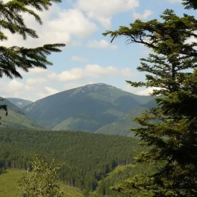 ПриродаЛандшафтний заказник ГрофаОсмолода9,1 км від центруСаме такою і є Лімниця, у верхній частині басейну якої знаходяться землі ландшафтного заказника. Заповідник Грофа знаходиться на гірському хребті Горган.
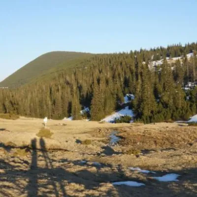 ПолонинаПолонина РущинаОсмолодависота 1 409 м9,2 км від центруПолонина Рущина славиться своїми панорамними видами на гори, які оточують її з усіх боків, та різноманітністю флори та фауни.
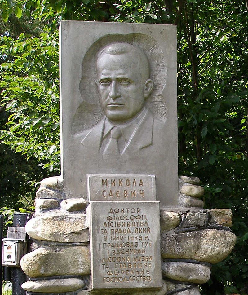
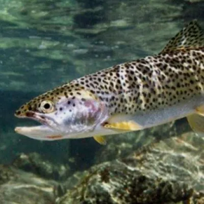 Історична пам’яткаФорельне господарство в ОсмолодіОсмолода11 км від центруШептицьким управителем – охоронцем митрополичих лісів, заснував "Лісовий музей" і зразкове форельне господарство поблизу села Осмолода.
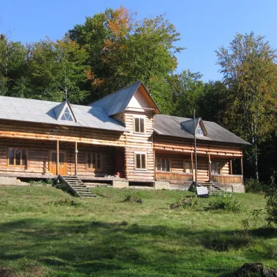 МузейПластовий табір - музей “Сокіл”Гриньків16 км від центруПластовий табір – музей “Сокіл” є найдавнішою і найславнішою оселею Пласту, яка була посвячена в 1926 році.
Крафт поруч
Усі крафтові місця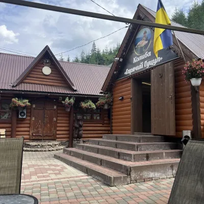 Колиби й гуцульська кухняКолиба «Гарячий Гуцул», Синевирська ПолянаСиневирська Поляна24 км від центруКолиба «Гарячий Гуцул» — затишна колиба-музей у Синевирській Поляні, на дорозі до озера Синевир. Її легко впізнати ще з дороги: кам’яна арка-брама, дерев’яний паркан,...
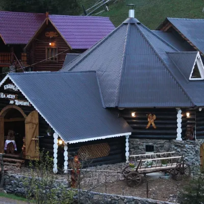 Колиби й гуцульська кухняКолиба «На Децу до Цімбора», Синевирська ПолянаСиневирська Поляна24 км від центру«На Децу до Цімбора» — велика ресторан-колиба в Синевирській Поляні, біля початку підйому до озера Синевир.
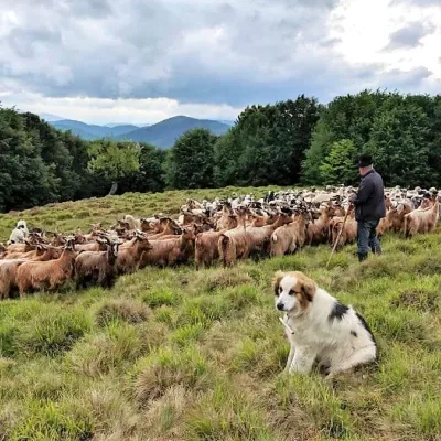 Сироварні та полониниЕтноцентр «Вівчарський хутір», Синевирська ПолянаСиневирська Поляна24 км від центру«Вівчарський хутір» — етноцентр і вівчарська ферма в Синевирській Поляні, неподалік озера Синевир. Його заснував місцевий підприємець Іван Яцько, який вирішив...
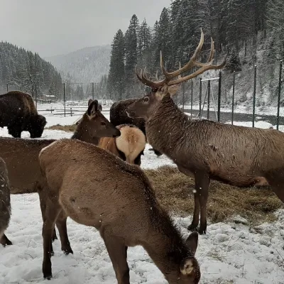 Звіринці й ферми тваринЕкопарк «Долина Вовків», Синевирська ПолянаСиневирська Поляна26 км від центруЕкопарк «Долина Вовків» — приватний звіринець у Синевирській Поляні на Міжгірщині, де серед смерекових схилів долини Тереблі живуть вовки кількох підвидів, олені, лані...
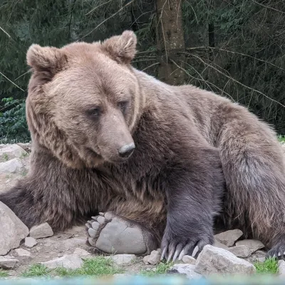 Звіринці й ферми тваринЦентр реабілітації бурого ведмедя НПП «Синевир», Синевирська ПолянаСиневирська Поляна26 км від центруЦентр реабілітації бурого ведмедя Національного природного парку «Синевир» — найбільший в Україні прихисток для ведмедів, які постраждали від жорстокого поводження.
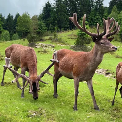 Звіринці й ферми тваринБіоПарк «Синевир» — Африка в Карпатах, Синевирська ПолянаСиневирська Поляна26 км від центруБіоПарк «Синевир» — Африка в Карпатах — контактний парк тварин в урочищі Рабачинка біля Синевирської Поляни, у долині річки Чорна.
Де зупинитися
Готелі, садиби й котеджі в Osmoloda та околицях.
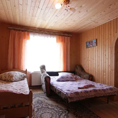 Садиба"У Давидка і Матвійка"Осмолодаменше 1 км від центруКамінКухняПарковкаПоруч: г. Студенець 3,8 кмг. Петрос Горганський 4,6 км2 маршрути
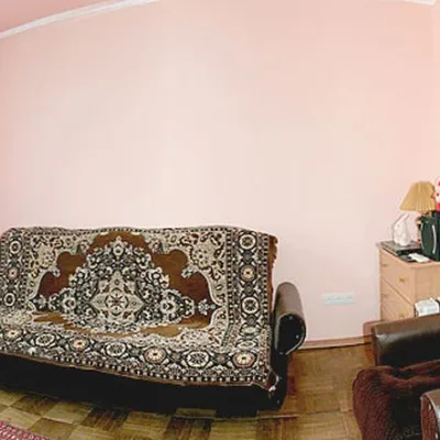 СадибаСадиба "Файні Карпати" ОсмолодаОсмолодаменше 1 км від центруСаунаМангалКухняПоруч: г. Студенець 3,8 кмг. Петрос Горганський 4,6 км2 маршрути
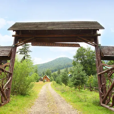 ГотельГотельний комплекс "Вільні вітри" ОсмолодаОсмолодаменше 1 км від центруСаунаМангалКухняПоруч: г. Студенець 3,8 кмг. Петрос Горганський 4,6 км2 маршрути
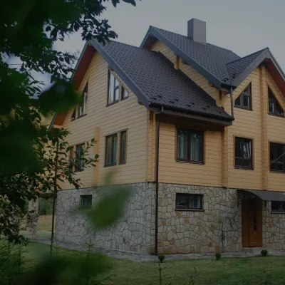 СадибаСадиба "Albertville" ОсмолодаОсмолодаменше 1 км від центруКамінКухняПарковкаПоруч: г. Студенець 4,0 кмг. Петрос Горганський 4,8 км2 маршрути
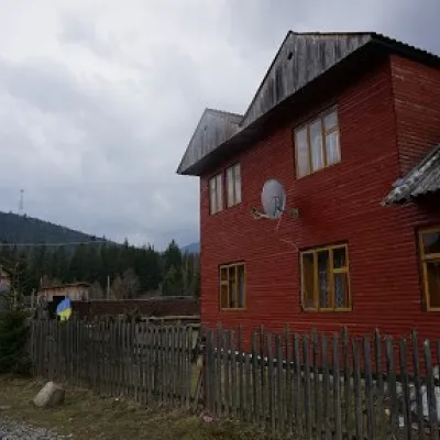 СадибаСадиба "Арніка" ОсмолодаОсмолода9,5 км від центруСаунаМангалКухняПоруч: Болото Мшана 4,4 кмг. Кінь-Грофецький 5,2 км15 маршрутів
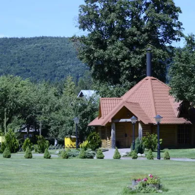 СадибаКомплекс "Ганц" ОсмолодаОсмолода9,7 км від центруЧанБасейнСаунаПоруч: Болото Мшана 4,7 кмг. Кінь-Грофецький 5,6 км15 маршрутів
Маршрути поруч
Всі маршрути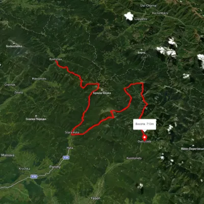 СкладнийБагатоденнийБез маркуванняс. Бистриця до с. Кузьминецьчерез г. Боярин, г. Сивуля +4Профіль висоти661–1 788 м67,6 кмнабір 6 302 мменше 1 км від центру
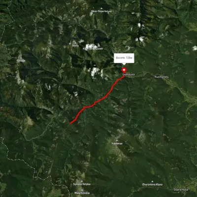 ЛегкийОдноденнийМаркованийОсмолода ― г. ҐорґанПрофіль висоти716–1 557 м9,6 кмнабір 232 м≈ 3 год ходу2,1 км від центру
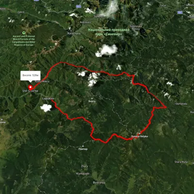 СкладнийБагатоденнийБез маркуванняс. Лопухів до с. Усть-Чорначерез пер. Легіонів, ур. Пекло +3Профіль висоти522–1 809 м94,1 кмнабір 3 095 м3,1 км від центру
Вершини поруч
Всі вершини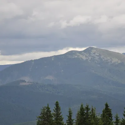 ВершинаГора ОвулОсмолодависота 1 609 м · масив Горгани2,8 км від центруОвул — гора заввишки 1609 м, найвища вершина хребта Верхній Дарів у Західних Ґорґанах. Вона лежить у Калуському (колишньому Рожнятівському) районі Івано-Франківської...
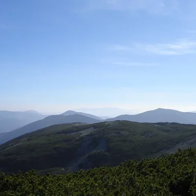 ВершинаГора СтуденецьОсмолодависота 1 671 м · масив Горгани3,8 км від центру1 маршрут на вершинуГора Студенець (інша назва – Студінець, Студинець) – 1671-метрова вершина Українських Карпат, що розташована в межах Горганського гірського масиву та знаходиться в...
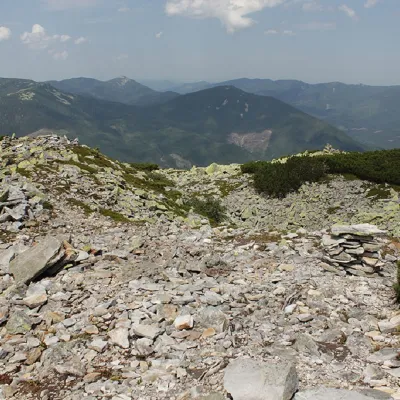 ВершинаГора Петрос ГорганськийОсмолодависота 1 702 м · масив Горгани4,6 км від центру8 маршрутів на вершинуПетрос Горганський – гора висотою 1702 м (на польській карті від 1935 р. вказана інша інформація – 1708 м) у центральній частині Горганського гірського масиву...
